For historical information only, do not use for navigation or aviation purposes!
| Coordinates | N482303 E0100201 (WGS84) Google Maps |
| Elevation | 1550 ft |
| Location indicator | EDOE (1971) |
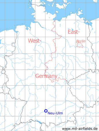
Germany during the Cold War Map
The history of the Cold War airfields: Neu-Ulm
Location of airfield
The airfield was located at the southeastern edge of Neu-Ulm between Schwaighofen and Offenhausen.
During World War II
Usage until 1945
Airfield.
During the Cold War
Usage during the Cold War
US Army airfield.
In the 1960s
Overview
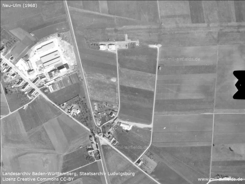
Aerial image 1968 - At the top right is the runway, which runs roughly east-west. West of the airfield the railroad line from Neu-Ulm to Senden passes from north to south. Diagonally from the upper left to the lower right leads the Reuttier Straße street.
Source: Landesarchiv Baden-Württemberg, Staatsarchiv Ludwigsburg, EL 68 IX Nr 17807, http://www.landesarchiv-bw.de/plink/?f=2-5953840
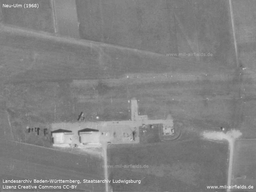
Enlargement: airfield facilities - There are two hangars here, as well as a fixed-wing aircraft and a helicopter, presumably U.S. Army.
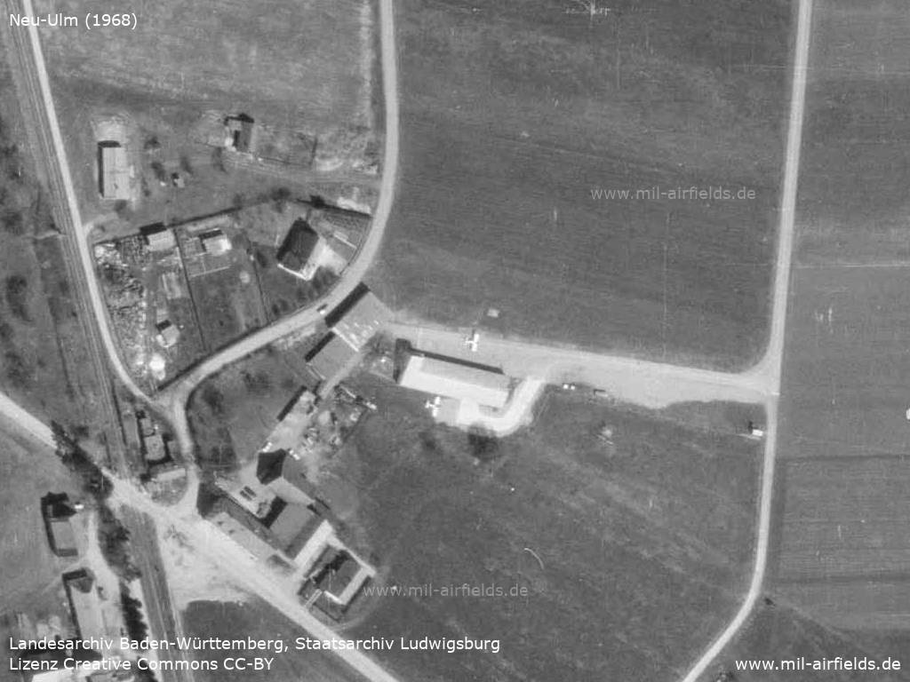
Enlargement: Southern part - In the southern part there are two small airplanes, presumably private.
In the 1970s
Situation
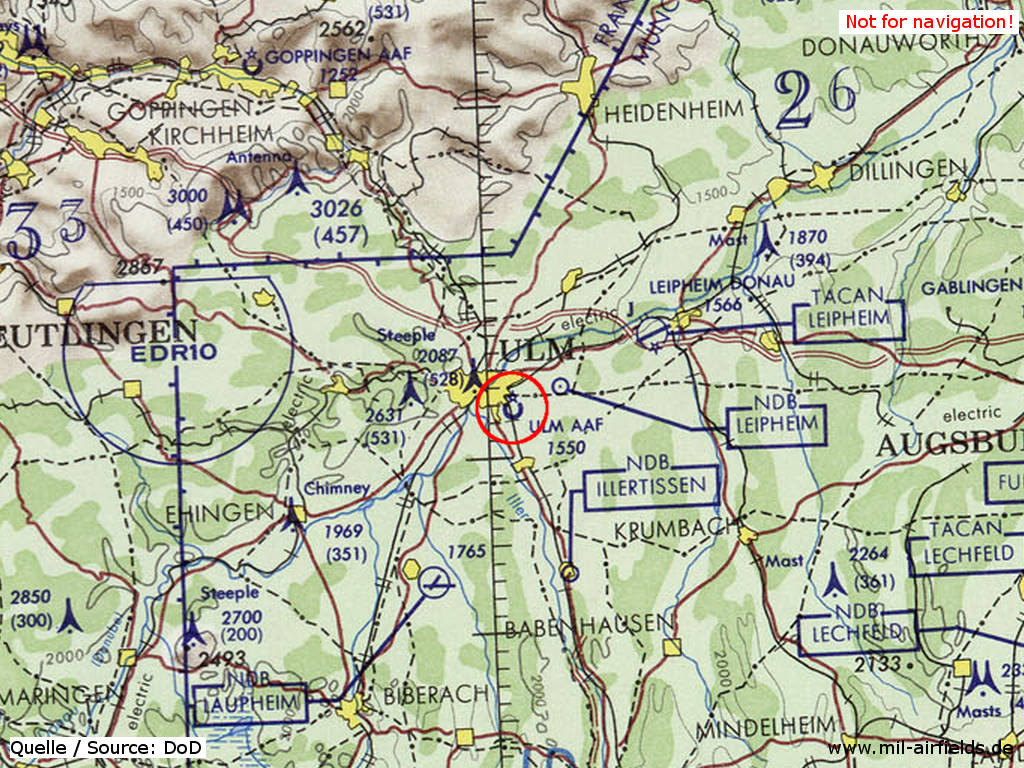
Ulm Army Airfield (AAF) in Neu Ulm on a map of the US Department of Defense from 1972 - (ONC E-2 (1972), Perry-Castañeda Library Map Collection, University of Texas at Austin /PCL MC/)
Runways
Data for the year 1971:
- 09/27: 610 m x 30 m Grass
The runway was located south of Von-Liebig-Straße, from todays Postverteilzentrum in the east to Lise-Meitner-Ring in the west.
Today
Use today
Closed.
Current State
Today the area is part of an industrial estate. There are no traces left of the airfield. The street "Am alten Flugplatz" ("At the old airfield") is perpendicular to the former runway.
Links
- Bing - Aerial picture of the area today
- http://www.usgarnison.de/ - US-Armee in Ulm und Neu-Ulm 1951 bis 1991
Airfields in the vicinity
- 067°/16km Leipheim: Air Base (Leipheim Airfield)
- 207°/20km Laupheim: Air Base (Walpartshofen)
- 289°/31km Feldstetten: Gerätehauptdepot Helipad (Laichingen)