For historical information only, do not use for navigation or aviation purposes!
| Coordinates | N532300 E0130300 (WGS84) Google Maps |
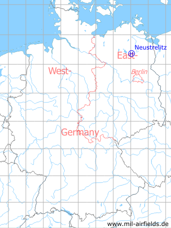
Germany during the Cold War Map
The history of the Cold War airfields: Neustrelitz
Usage during the Cold War
Soviet helipad.
Use today
Closed.
Additional information
WOLLE's memories:
Der Platz, auf dem generell die Mi-6 und ab den 70ern alle Hubschrauber landeten, muss sich so 300-400 m nordöstlich des Platzes Neustrelitz befunden haben (aus meiner Erinnerung heraus, da oft auch Mi-6 im Anflug waren und dann hinter der
Mauer verschwanden), kann aber nicht sagen, ob sie auf der Betonfläche landeten (scheint mir nicht weit genug von der Straße entfernt zu sein) oder auf einer Rasenfläche dahinter .
Mauer verschwanden), kann aber nicht sagen, ob sie auf der Betonfläche landeten (scheint mir nicht weit genug von der Straße entfernt zu sein) oder auf einer Rasenfläche dahinter .
Many thanks, WOLLE!
Remarks from Bert: Mi-6 helicopter needed a certain take-off run, so the helipad was probably situated in the northern part of the triangle Penzliner Str. / F193, approximately near to today's rescue helicopter base. More to the south, there were only small areads available, because of the barrack's buildings.
Airfields in the vicinity
- 360°/0,7km Neustrelitz (Нойштрелиц)
- 044°/16km Klein Nemerow: Helipad 3006 (HSLP / HLP 3006)
- 259°/21km Rechlin: Helipad 1014 (HSLP / HLP 1014)