For historical information only, do not use for navigation or aviation purposes!
| Coordinates | N513619 E0133343 (WGS84) Google Maps |
| Former East Germany (GDR) | District of Cottbus |
| Federal state | Brandenburg |
Germany during the Cold War Map
The history of the Cold War airfields: Doberlug-Kirchhain
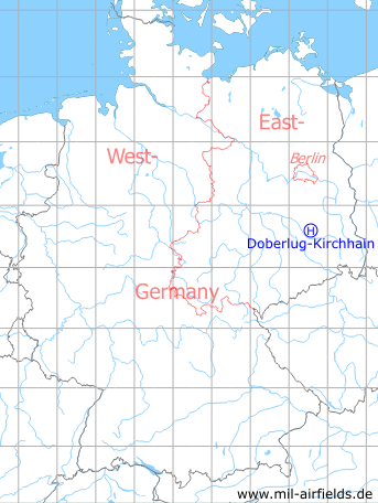
Location of airfield
1,8 km south of Doberlug-Kirchhain train station.
Usage during the Cold War
Helipad 3042, Technisches Versorgungslager 34 (TVL-34) of former East German Air Force (NVA LSK/LV).
Use today
Closed.
Runways, taxiways, aprons
Dimensions: 95 m x 60 m, 110 m x 60 m,
main takeoff and landing direction: 180°,
surface: grass (athletic field),
usable without crop damage,
capacity: 2 helicopters.
main takeoff and landing direction: 180°,
surface: grass (athletic field),
usable without crop damage,
capacity: 2 helicopters.
Telephone
Stabsnetz S1 ü 9453-88
Airspace and procedures
Usable at day and good weather conditions.
Alert time: 60 minutes.
Alert time: 60 minutes.
 Follow mil-airfields on Facebook