For historical information only, do not use for navigation or aviation purposes!
| Coordinates | N520829 E0120915 (WGS84) Google Maps |
| Former East Germany (GDR) | District of Magdeburg |
| Federal state | Sachsen-Anhalt (Saxony-Anhalt) |
| Region | Fläming |
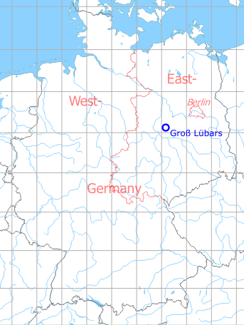
Germany during the Cold War Map
The history of the Cold War airfields: Groß Lübars
During the Cold War
Use
Soviet auxiliary airfield.
In the 1960s
Situation
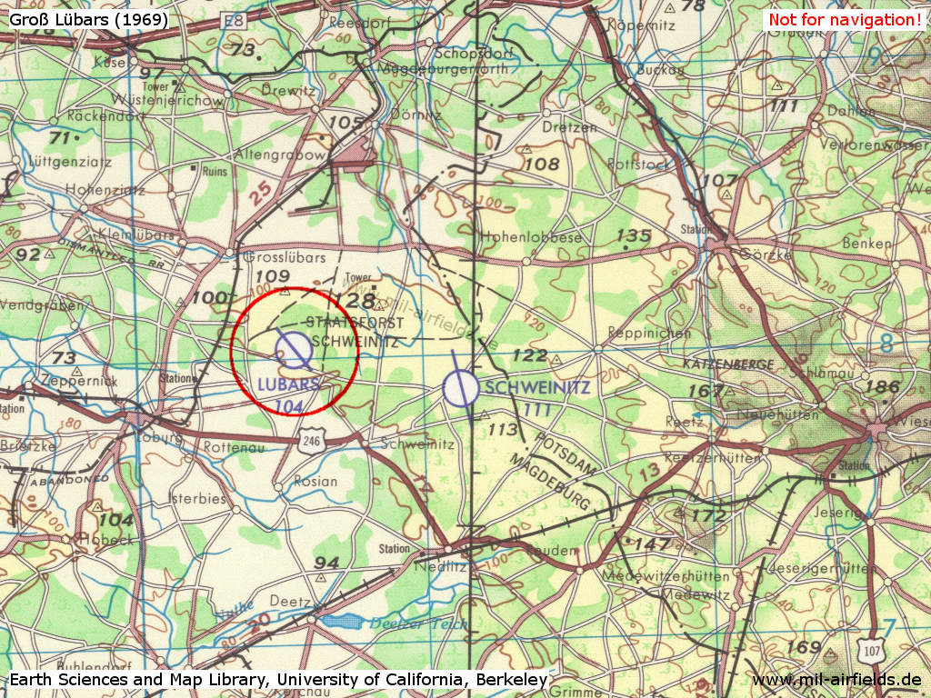
Groß Lübars Airfield on a US map from 1969
Source: Earth Sciences and Map Library, University of California, Berkeley
In the 1970s
Overview

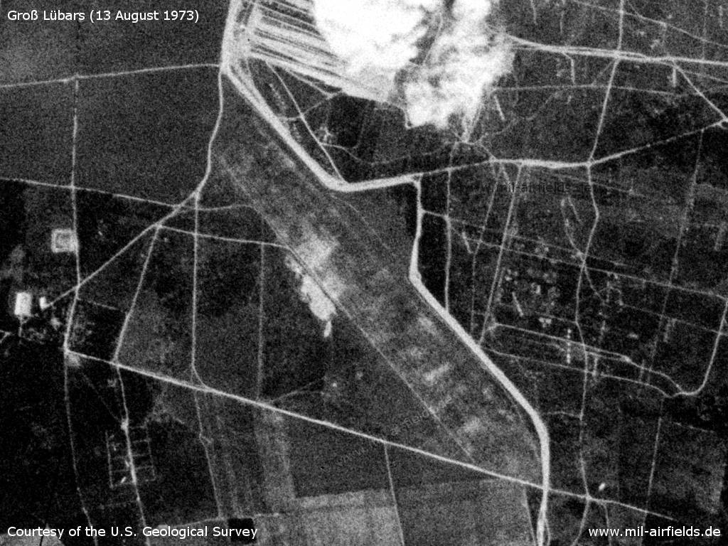
Altengrabow military training area on a US satellite image from 13 August 1973 - 1: training area; 2: Groß Lübars airfield; 3: Schweinitz airfield. Places: Altengrabow, Dörnitz, Drewitz, Loburg, Lübars, Reppinichen
Source: U.S. Geological Survey
Groß Lübars Airfield
Source: U.S. Geological Survey
Runways
- 14/32: 2100 m Grass
Radio beacons
- LOM 32: 790 "BN"
- LMM 32: 388 "B"
Radio communication
Call sign: KAVKAS
Today
Use
Closed
Overview
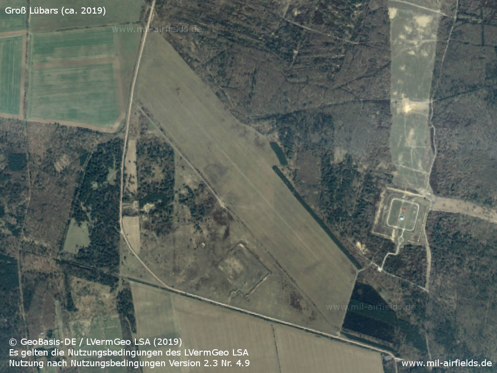
Luftbild 2019 - Aerial image (ca. 2019)
Source: © GeoBasis-DE / LVermGeo LSA (2019).
Es gelten die Nutzungsbedingungen des LVermGeo LSA. Nutzung nach Nutzungsbedingungen Version 2.3 Nr. 4.9
Bibliography
- Freundt, Lutz (Hrsg.), Büttner, Stefan: "Rote Plätze - Russische Militärflugplätze in Deutschland 1945 - 1994" AeroLit Verlag, 2007 - Short description and list of deployments
Airfields in the vicinity
- 106°/6km Schweinitz: Airfield
- 182°/16km Zerbst: Air Base (Аэродром Цербст)
- 221°/23km Flötz: Agricultural Airfield (Gödnitz, Zerbst)
- 299°/23km Burg: Airfield
Categories
Military Airfields GermanyMilitary Airfields in former East GermanyAirfields of the Soviet Forces in GermanyRecommended
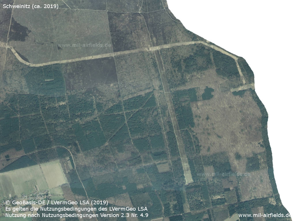
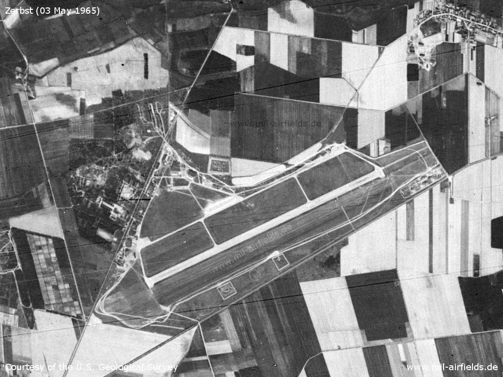
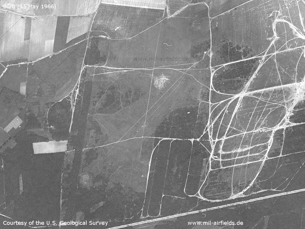
Image credits are shown on the respective target page, click on the preview to open it.
 Follow mil-airfields on Facebook