Amberg: Army Airfield AAF
For historical information only, do not use for navigation or aviation purposes!
| Coordinates | N492514 E0115023 (WGS84) Google Maps |
| Elevation | 1350 ft |
| Federal state | Bayern (Bavaria) |
| Location indicator | EDEA |
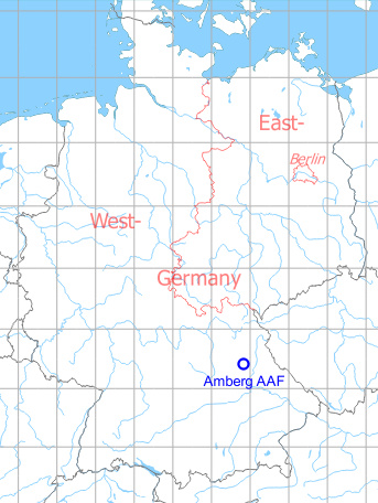
Germany during the Cold War Map
The history of the Cold War airfields: Amberg
General
South of Amberg, there was a small US Army airfield. It was listed as usable until the 1980s. The site was finally abandoned with the withdrawal of troops at the beginning of the 1990s.
Location of airfield
The airfield was located 3 km southwest of Amberg.
During the Cold War
Use
US Army airfield.
In the 1950s
Overview
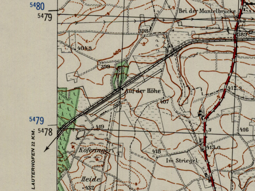
Amberg airfield on a US map from 1952 - The railway line to Lauterhofen north of the field has been dismantled in the meantime (AMS M841 GSGS 4414, Courtesy Harold B. Lee Library, Brigham Young University /BYU/)
Source: US DoD
In the 1960s
Runways
- 06/24: 520 m (approx.)
Radio communication
Radio 31.8
Telephone
Amberg Mil 837, after duty hours 801
Hours of operations
Monday-Friday 0700-1600Z, Saturday 0700-1000Z
Fuel equipment
115/145
In the 1970s
Situation
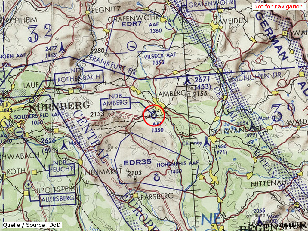
Amberg Army Airfield on a map of the US Department of Defense from 1972
Source: ONC E-2 (1972), Perry-Castañeda Library Map Collection, University of Texas at Austin
Overview
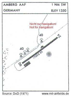
Map of the Department of Defence from 1971 - Length and width of the runway are stated in Feet. The triangular symbols are obstacles. The dotted circle area south of the runway is a Nondirectional Radio Beacon (NDB).
Source: US DoD
Runways
- 06/24: 518 m x 20 m
Radio beacons
For the year 1971, a NDB on frequency 212 kHz with ident AMG is listed. In 1983, it worked on frequency 301 kHz.
In the 1980s and early 1990s
Real property
The BICC Report 4 "Restructuring the US Military Bases in Germany: Scope, Impacts, and Opportunities" lists an area of 16,605 ha.
Today
Use
Closed. Aviation activities probably ended already during the 1980s, as Amberg was not mentioned as airfield anymore in 1990. According to the list "Base Closures", the final close-down of the airfield as a US base was planned for September 30th, 1993.
Overview
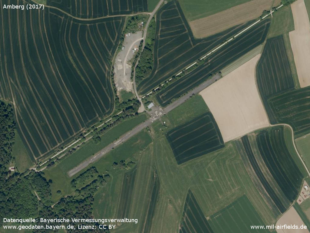
Aerial image (2017)
Source: Datenquelle: Bayerische Vermessungsverwaltung www.geodaten.bayern.de, License: Creative Commons Namensnennung 3.0 Deutschland (CC BY 3.0 DE)
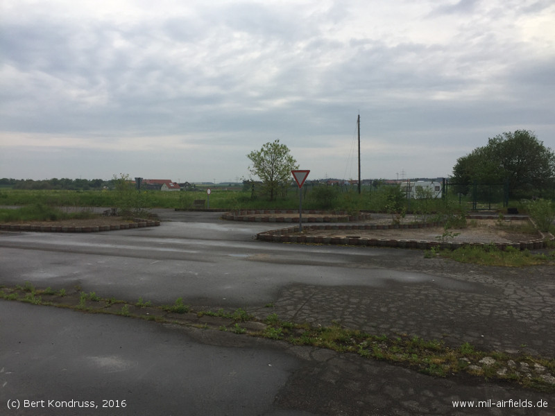
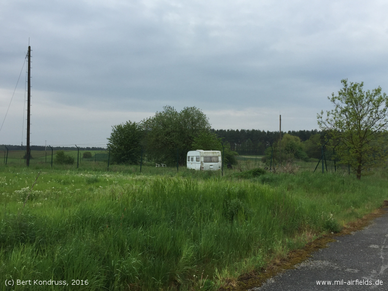
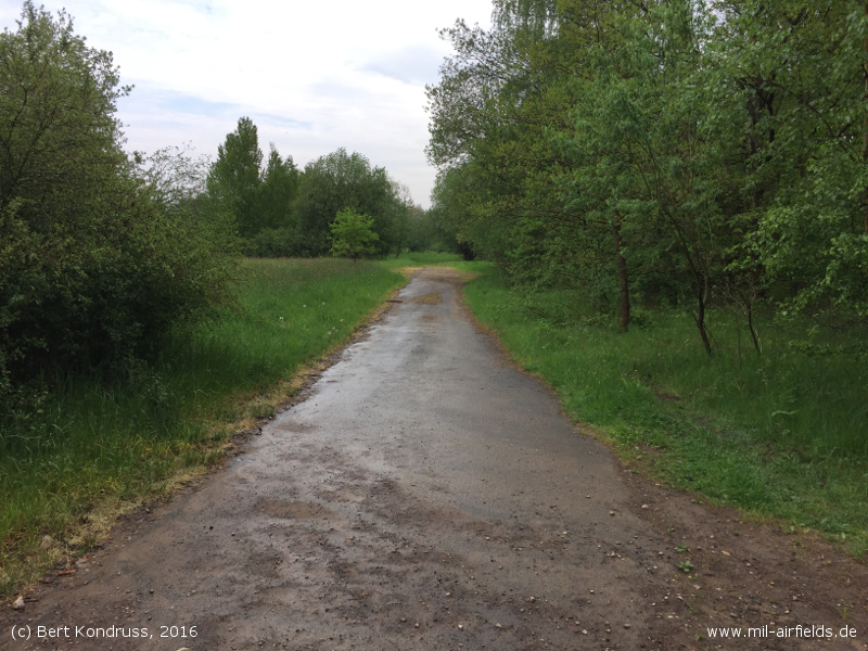
Images
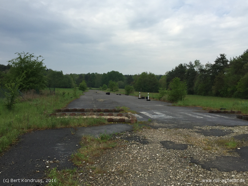
The following pictures were taken in 2016. Many thanks to Mr. B. for the possibility to visit the field.
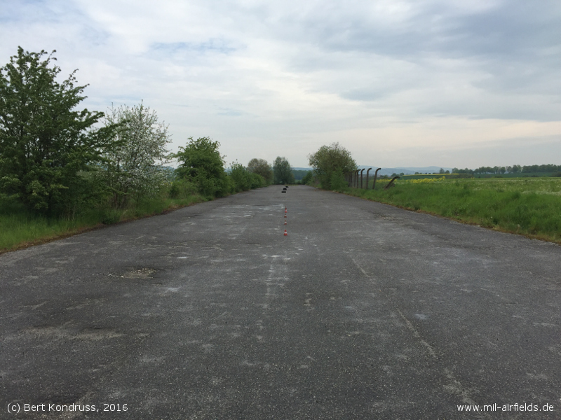
Runway, looking to the northeastern end.
Looking to the southwestern end.
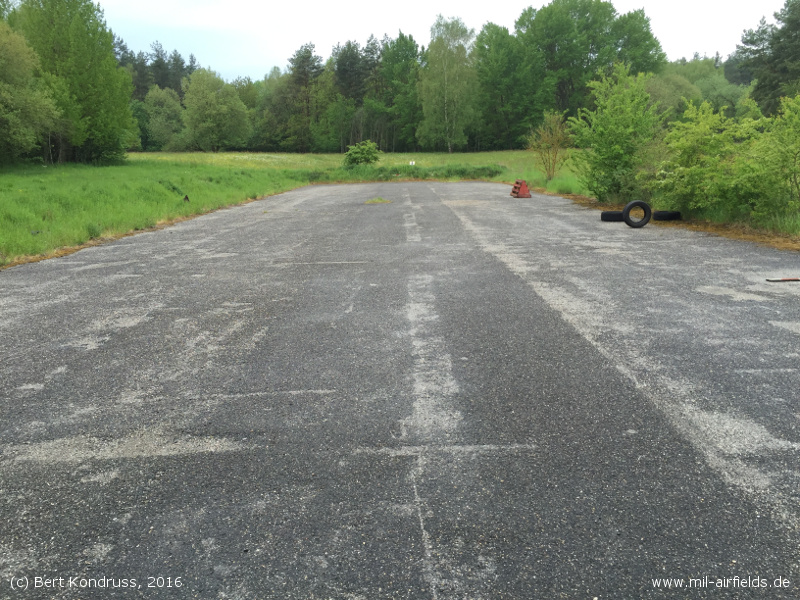
Remains of a centerline marking?
Ramp in front of the hangar
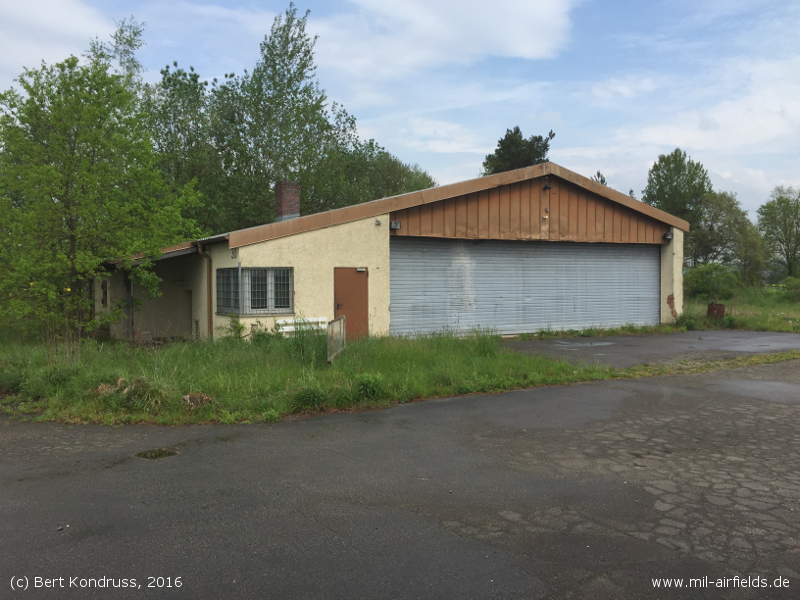
Hangar
Former radio beacon on the southeastern side.
Former storage area at the southwestern end, demolished.
Sources
- https://geoportal.bayern.de/ - Geoportal Bayern
Bibliography
- Ries, Karl; Dierich, Wolfgang: "Fliegerhorste und Einsatzhäfen der Luftwaffe" Motorbuch Verlag Stuttgart, 1993 - Lists an emergency landing field
Airfields in the vicinity
- 181°/23km Hohenfels: Army Airfield
- 013°/32km Grafenwöhr: Army Air Field (Grafenwöhr AAF)
- 266°/48km Feucht: Army Airfield AAF (Feucht Army Airfield AAF)
Categories
Military Airfields GermanyMilitary Airfields in former West GermanyUS Army Airfields and Heliports in GermanyRecommended
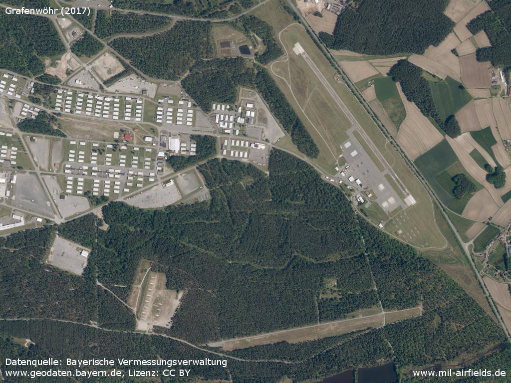
Image credits are shown on the respective target page, click on the preview to open it.
 Follow mil-airfields on Facebook