For historical information only, do not use for navigation or aviation purposes!
| Coordinates | N534500 E0141338 ca. (WGS84) Google Maps |
| Former East Germany (GDR) | District of Neubrandenburg |
| Federal state | Mecklenburg-Vorpommern (Mecklenburg-Western Pomerania) |
| Airfield Id | 3332 |
Germany during the Cold War Map
The history of the Cold War airfields: Altwarp
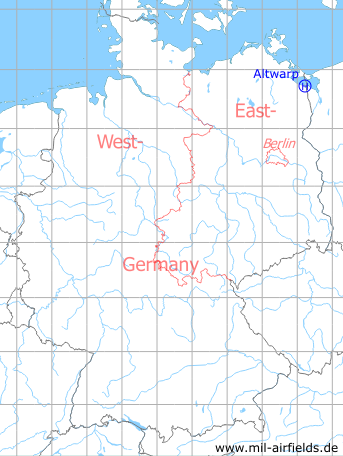
Location of airfield
The helipad was located about 2.4 km north-notheast of Altwarp.
Usage during the Cold War
Helipad 3332 for Anti-aircraft missile unit 231 (FRA-231) and for Support units of 3rd Air defence division (3. LVD) of former East German Air Force (NVA LSK/LV).
Use today
Closed.
Runways, taxiways, aprons
Dimensions: 100 m x 80 m,
Main takeoff and landing direction: 310°,
Surface: grass,
Capacity: 2 helicopters.
Main takeoff and landing direction: 310°,
Surface: grass,
Capacity: 2 helicopters.
Telephone
Stabsnetz S1 47335-831
Airspace and procedures
Usable at day during good weather conditions,
alert time: 60 minutes.
alert time: 60 minutes.
Obstacles
Trees: direction 310°, height 20 m
Airfields in the vicinity
- 341°/15km Garz: Airfield (Heringsdorf Airport)
- 209°/22km Stallberg: Helipad 3330 (HSLP / HLP 3330)