For historical information only, do not use for navigation or aviation purposes!
| Coordinates | N525754 E0131322 (WGS84) Google Maps |

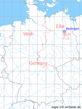
Germany during the Cold War Map
The history of the Cold War airfields: Badingen
Location of airfield
4 km south-southwest of Badingen.
Usage during the Cold War
Helipad 3109 of Anti-aircraft Missile Unit Group 411 (FRAG-411) of former East German Air Force (NVA LSK/LV).
Use today
Closed
Runways, taxiways, aprons
Dimensions: 15 m x 15 m,
main takeoff and landing direction: 135°,
surface: concrete,
usable without crop damage,
capacity: 2 helicopters.
main takeoff and landing direction: 135°,
surface: concrete,
usable without crop damage,
capacity: 2 helicopters.
Communication
Stabsnetz S1 5336-88
Airspace and procedures
Usable at day during good weather conditions.
Alert time: 60 minutes.
Alert time: 60 minutes.
Obstacles
Fence: distance 15 m, height 2 m,
pole: distance 30 m, height 5 m.
pole: distance 30 m, height 5 m.
Links
- http://www.untergrund-brandenburg.de/Sub_Sites/NVA... - Fla-Raketenabteilungsgruppe 411 Badingen Description of the former missle site.
 Follow mil-airfields on Facebook