For historical information only, do not use for navigation or aviation purposes!
| Coordinates | N525953 E0130546 (WGS84) Google Maps |

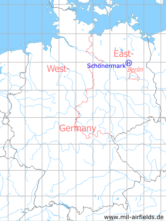
Germany during the Cold War Map
The history of the Cold War airfields: Schönermark
Location of airfield
4,3 km west-southwest of Gransee; 1,8 km southwest of Schönermark.
Usage during the Cold War
Helipad 3117 for Anti-aircraft Missile Unit 4131 (Fla-Raketenabteilung 4131, FRA-4131) of former East German Air Force (NVA LSK/LV).
Use today
Closed.
Runways, taxiways, aprons
Dimensions: 12 m x 12 m,
main takeoff and landing direction: 300°,
surface: clay soil with grass,
usable without crop damage,
capacity: 1 helicopter.
main takeoff and landing direction: 300°,
surface: clay soil with grass,
usable without crop damage,
capacity: 1 helicopter.
Telephone
Stabsnetz S1 59 809 p
Airspace and procedures
Usable at day and good weather conditions.
Alert time: 60 minutes.
Alert time: 60 minutes.
Obstacles
Technical equipment: distance 50 m;
fence: distance 25 m, height 2 m;
3 poles: height 50 m.
fence: distance 25 m, height 2 m;
3 poles: height 50 m.
Links
- http://www.untergrund-brandenburg.de/Sub_Sites/NVA... - Feuerstellung der Fla-Raketenabteilung 4131 (FRA 4131) Schönermark
 Follow mil-airfields on Facebook