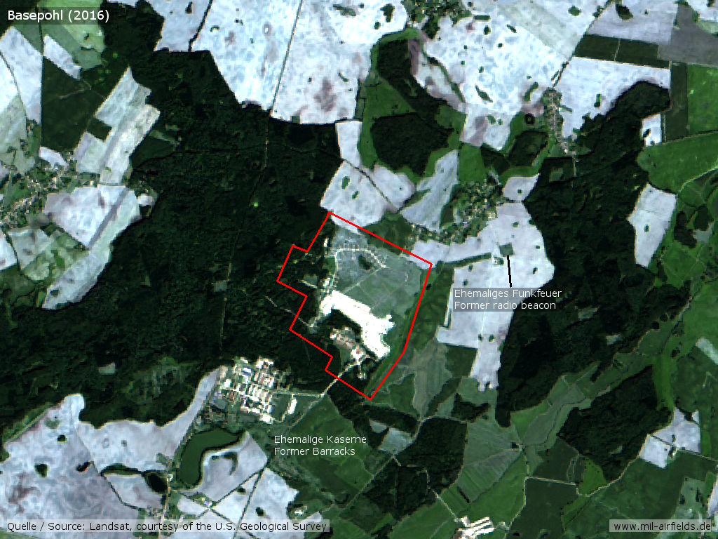
Basepohl: Heliport
For historical information only, do not use for navigation or aviation purposes!
| Coordinates | N534452 E0125709 (WGS84) Google Maps |
| Elevation | 53m |
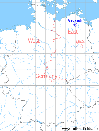
Germany during the Cold War Map
The history of the Cold War airfields: Basepohl
During the Cold War
Use
Opened 1975. Heliport of former East German National People's Army (NVA).
1980s
Runways
- 07/25: 600m x 60m Grass
- 12/30: 400m x 50m Grass
Radio beacons
- Locator: 344.5 "QT", 255°/1000m to threshold 25
Radio communication
Tower: "QUARZGUT-START" 126.0
Telephone
Stabsnetz S1: 48528, code name "Landschaftsgärtner"
Units
Combat Helicopter Wing 5 (KHG-5): Mi-8TB, Mi-24D, Mi-24P;
Helicopter Command and Reconnaissance Squadron 105 (HSFA-105): Mi-2, Mi-9
Helicopter Command and Reconnaissance Squadron 105 (HSFA-105): Mi-2, Mi-9
Real property
The National People's Army installation id of the airfield was 03/180.
Installations
Railway siding from Stavenhagen station to the airfield.
Today
Use
Closed.
Overview
Links
- http://quarzgut.info/ - Basepohl Airfield
Airfields in the vicinity
- 034°/20km Sanzkow: Helipad 3040 (HSLP / HLP 3040)
- 011°/22km Wotenick: Agricultural Airfield (Demmin)
- 042°/26km Tutow: Air Base (Demmin)
- 125°/28km Neubrandenburg: Air Base (Trollenhagen)
- 224°/28km Waren (Müritz): Vielist Airfield
 Follow mil-airfields on Facebook