For historical information only, do not use for navigation or aviation purposes!
| Coordinates | N542049 E0123521 (WGS84) Google Maps (approximate location) |
| Former East Germany (GDR) | District of Rostock |
| Federal state | Mecklenburg-Vorpommern (Mecklenburg-Western Pomerania) |
| Region | Baltic Sea, Darß peninsula |

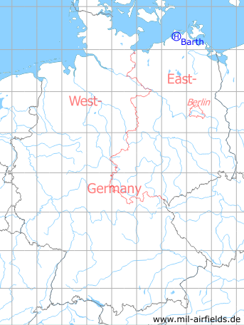
Germany during the Cold War Map
The history of the Cold War airfields: Barth
Location of airfield
Near Hermannshagen Heide.
Usage during the Cold War
Helipad 3312 for anti-aircraft missile unit 4322 (FRA-4322) of former East German Air Force (NVA LSK/LV).
Use today
Closed.
Runways, taxiways, aprons
Dimensions: 200 m x 500 m,
main takeoff and landing direction: 0° - 360°,
surface: meadow,
usable without crop damage,
capacity: 2 helicopters
main takeoff and landing direction: 0° - 360°,
surface: meadow,
usable without crop damage,
capacity: 2 helicopters
Telephone
Stabsnetz S1 6428-532
Airspace and procedures
Usable at day during good weather conditions.
Alert time: 60 minutes.
Alert time: 60 minutes.
Obstacles
None.
Airfields in the vicinity
- 247°/7km Saal: Helipad 3365 (FuTK-332)
- 097°/8km Barth: Airport (Stralsund-Barth Airport)
- 225°/13km Damgarten: Air Base (Puetnitz, Putnitz)
 Follow mil-airfields on Facebook