For historical information only, do not use for navigation or aviation purposes!
| Coordinates | N541913 E0122903 (WGS84) Google Maps |
| Former East Germany (GDR) | District of Rostock |
| Federal state | Mecklenburg-Vorpommern (Mecklenburg-Western Pomerania) |
| Region | Ostsee |
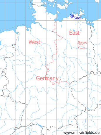
Germany during the Cold War Map
The history of the Cold War airfields: Saal
Location of airfield
1.3 km northwest of Saal.
During the Cold War
Use
Helipad 3365 for Radar Company 332 (FuTK-332) of former East German Air Force (NVA LSK/LV). The unit was located approx. 10 km northeast of Ribnitz-Damgarten near Saal and operated a radar site for air defence.
In earlier years the unit was called Radio Technical Company 287 (FuTK-287).
Overview
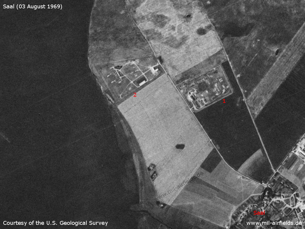
The Radio Technical Company 287 (FuTK-287) northwest of Saal on a US satellite image from 03 August 1969 - 1: East German radar site of the FuTK-287; 2: Soviet surface-to-air missle (SAM) site with four launchers S-125 Newa (NATO designation SA-3 Goa) for the protection of the Damgarten Air Base.
Source: U.S. Geological Survey
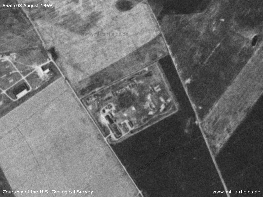
Enlargement
Source: U.S. Geological Survey
Runways, taxiways, aprons
Dimensions: 100 m x 60 m,
main takeoff and landing direction: 060°,
surface: grass, loamy base,
capacity: 1 helicopter.
main takeoff and landing direction: 060°,
surface: grass, loamy base,
capacity: 1 helicopter.
Telephone
Stabsnetz S1 6428-528
Airspace and procedures
Usable at day during good weather conditions.
Alert time: 30 minutes.
Alert time: 30 minutes.
Obstacles
Antenna P-15: direction 60°, height 30 m,
buildings: direction 120°-230°, height 8 m.
buildings: direction 120°-230°, height 8 m.
Today
Use
Closed.
Airfields in the vicinity
- 066°/7km Barth: Helipad 3312 (HSLP / HLP 3312)
- 202°/7km Damgarten: Air Base (Puetnitz, Putnitz)
- 082°/15km Barth: Airport (Stralsund-Barth Airport)
Categories
Military Airfields GermanyMilitary Airfields in former East GermanyHelipads of former National People's ArmyRecommended
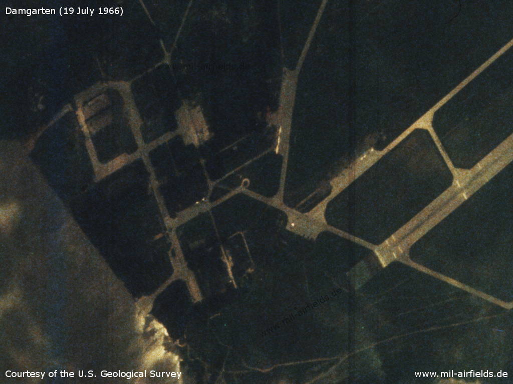
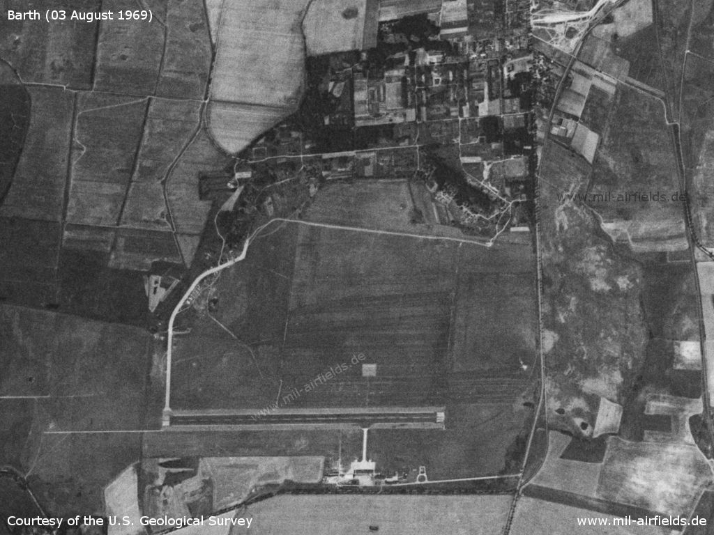
Image credits are shown on the respective target page, click on the preview to open it.
 Follow mil-airfields on Facebook