For historical information only, do not use for navigation or aviation purposes!
| Coordinates | N535339 E0130713 (WGS84) Google Maps |
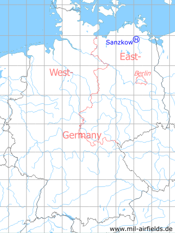
Germany during the Cold War Map
The history of the Cold War airfields: Sanzkow
Location of airfield
This is the position according to the coordinates, converted from S42/83 to WGS84. But this area does not look very likely to have served as helipad. Instead the athletic field southeast in the village is more probable.
Usage during the Cold War
Helipad 3040 for Fuel depot 34 (TSL-34) Utzedel of East German Airforce (NVA LSK/LV).
Use today
Closed.
Runways, taxiways, aprons
Dimensions: 100 m x 80 m
Main takeoff and landing direction: 120°
Surface: Grass (Athletic field)
Capacity: 1 helicopter
Main takeoff and landing direction: 120°
Surface: Grass (Athletic field)
Capacity: 1 helicopter
Telephone
Sondernetz/Stabsnetz S1 43628-88
Airspace and procedures
Usable at day during good weather conditions
Alert time: 60 minutes.
Alert time: 60 minutes.
Obstacles
none
Airfields in the vicinity
- 065°/7km Tutow: Air Base (Demmin)
- 307°/9km Wotenick: Agricultural Airfield (Demmin)
- 214°/20km Basepohl: Heliport
 Follow mil-airfields on Facebook