For historical information only, do not use for navigation or aviation purposes!
| Coordinates | N505011 E0112228 (WGS84) Google Maps |
| Elevation | 1444 ft |
| Federal state | Thüringen (Thuringia) |
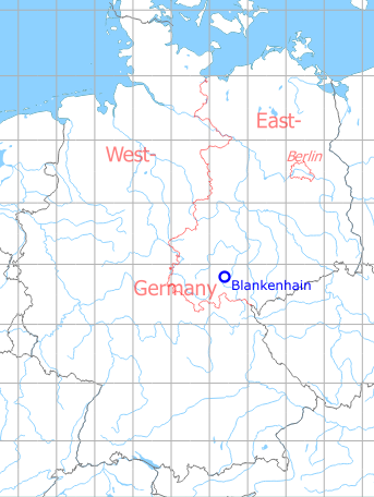
Germany during the Cold War Map
The history of the Cold War airfields: Blankenhain
Contents
General
The Blankenhain/Kottenhain airfield was located in Thüringen (Thuringia), 29 km southeast of Erfurt. Until 1945, the field was used by the Luftwaffe. In East Germany, it became a Soviet reserve airfield with a 3000 m long unpaved runway and two undirected radio beacons for the approach from the east. No information is available on concrete uses. Unlike most other Soviet airfields, Blankenhain was also listed on some confidential topographical maps of the GDR. The airfield is closed since the fall of the Berlin Wall.
Location of airfield
4 km southeast of Blankenhain.
During World War II
Use
Luftwaffe airfield.
During the Cold War
Use
Soviet reserve airfield.
Runways
- 09/27: 3000m Grass
1970s
Situation
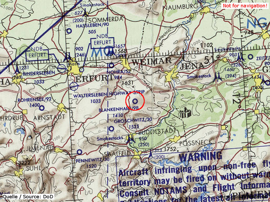
Blankenhain Airfield on a map of the US Department of Defense from 1972 - (ONC E-2 (1972), Perry-Castañeda Library Map Collection, University of Texas at Austin /PCL MC/)
Radio beacons
- LOM 27: 433 "AR"
- LMM 27: 878 "A"
Radio communication
The radio call sign was BULLETIN.
Today
Use
Closed.
Overview
Airfields in the vicinity
- 243°/14km Remda: Helipad 3150 (HSLP / HLP 3150)
- 091°/15km Schöps: Agricultural Helipad
- 083°/16km Rothenstein: Helipad
- 330°/18km Nohra: Airfield (Weimar-Nohra)
Categories
Military Airfields GermanyMilitary Airfields in former East GermanyAirfields of the Soviet Forces in GermanyRecommended
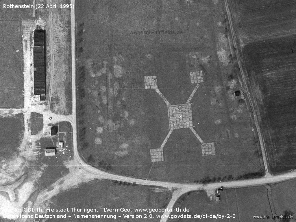
Image credits are shown on the respective target page, click on the preview to open it.
Contents
 Follow mil-airfields on Facebook