For historical information only, do not use for navigation or aviation purposes!
| Coordinates | N543736 E0092628 (WGS84) Google Maps |
| Elevation | 69' |
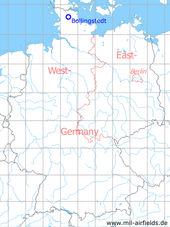
Germany during the Cold War Map
The history of the Cold War airfields: Bollingstedt
Location of airfield
Autobahn A7, between junctions Schleswig-Schuby and Tarp.
During the Cold War
Runways
- 17/35: 2100m
Today
Use
Closed.
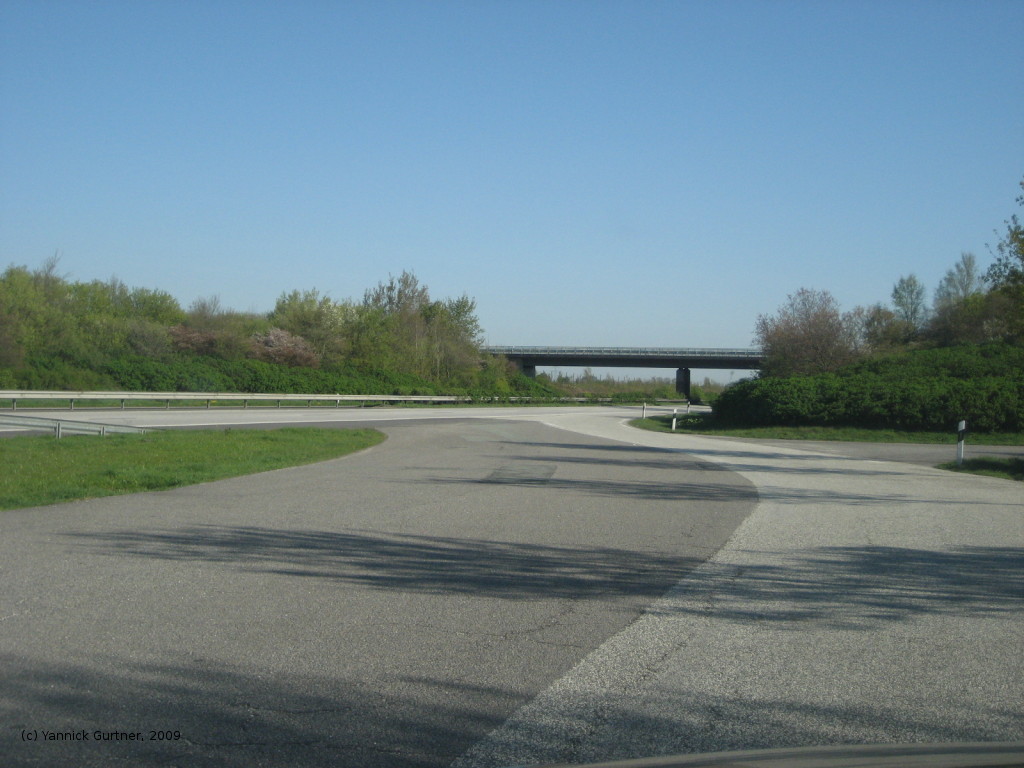
Images
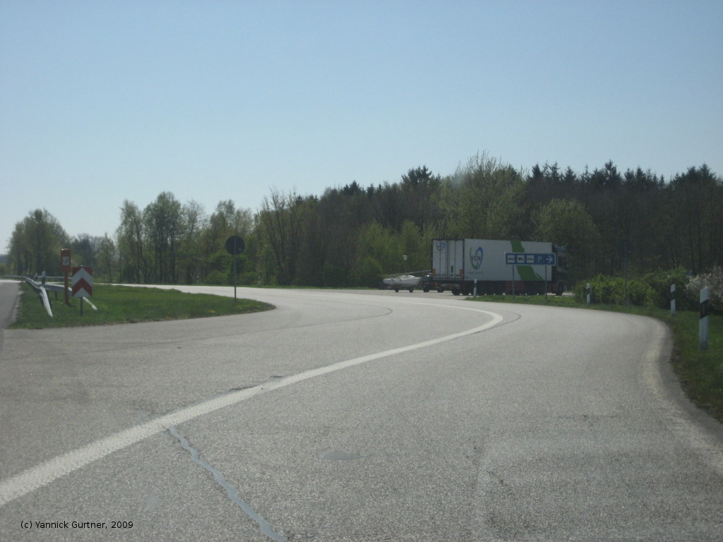
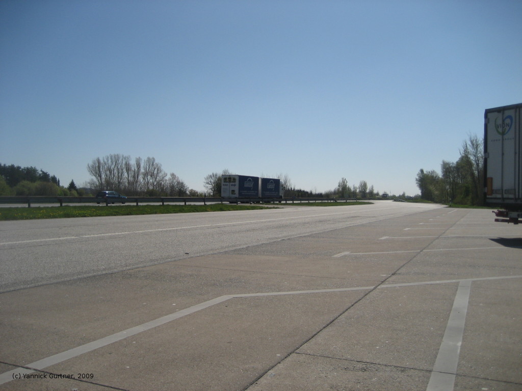
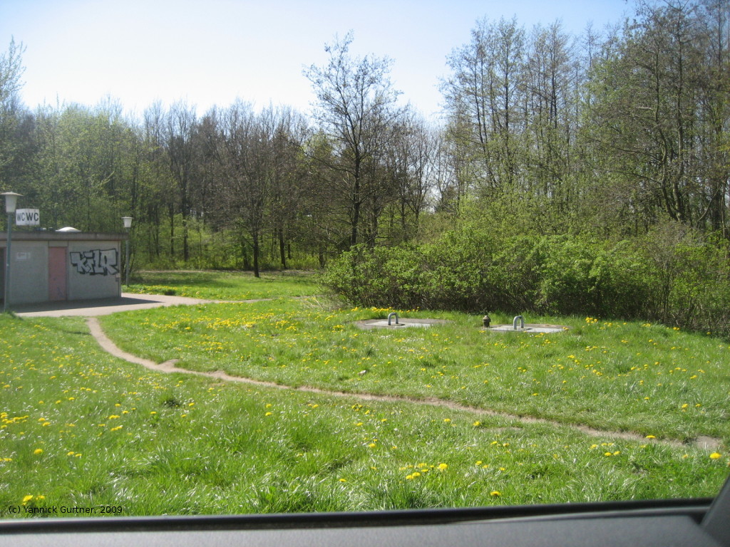
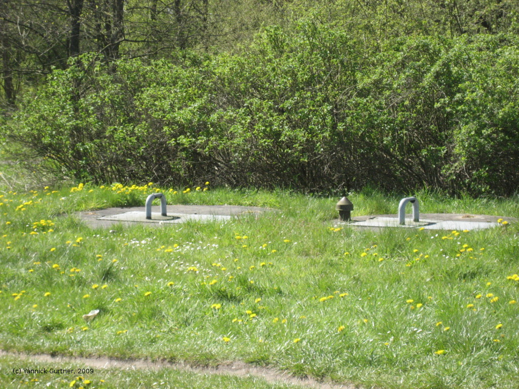
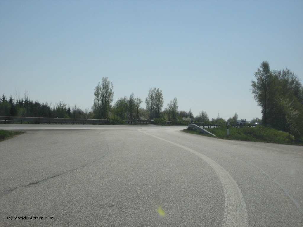
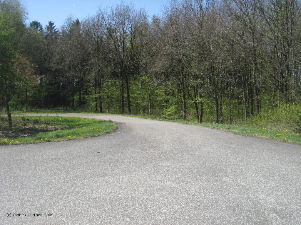
The following pictures were taken in april 2009, courtesy of Yannick Gurtner.
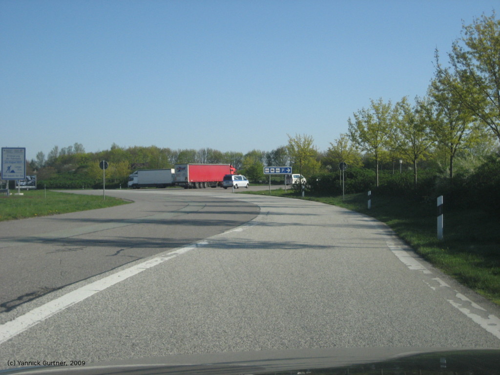
Parking in direction Flensburg
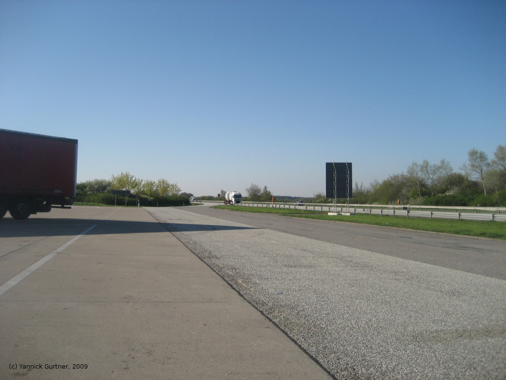
Parking in direction Hamburg
Airfields in the vicinity
- 268°/6km Eggebek: Air Base (Langstedt)
- 165°/19km Schleswig: Air Base (Jagel, RAF Schleswigland)
 Follow mil-airfields on Facebook