For historical information only, do not use for navigation or aviation purposes!
| Coordinates | N481920 E0115655 (WGS84) Google Maps |
| Elevation | 1514 ft |
| Federal state | Bayern (Bavaria) |
| Location indicator | DBED (USAF); DEED, EDSE, ETSE (Luftwaffe) |
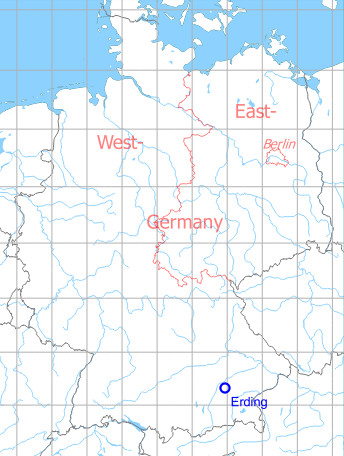
Germany during the Cold War Map
The history of the Cold War airfields: Erding
During World War II
Situation
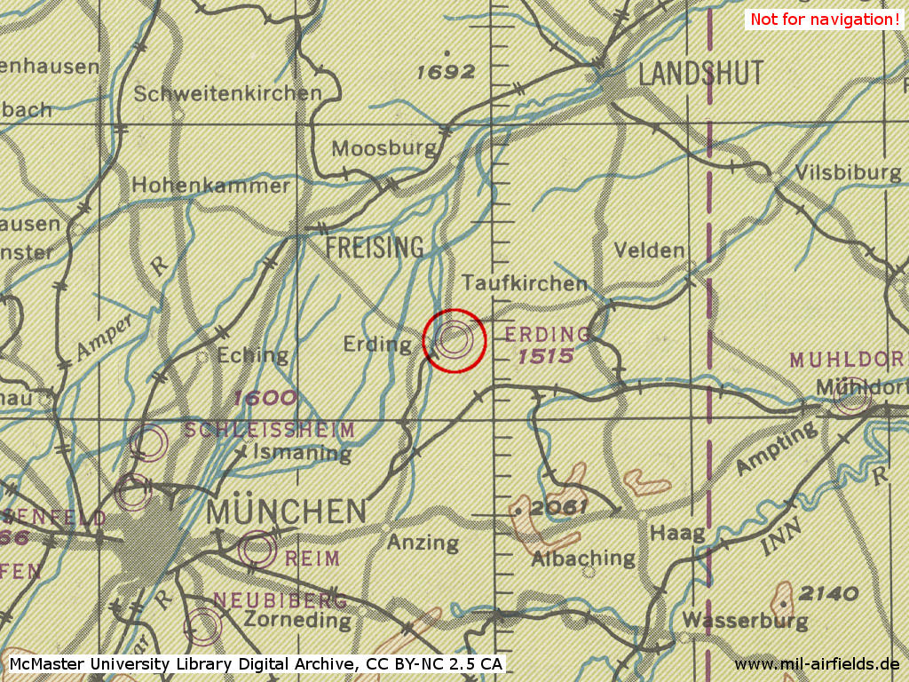
The old Erding Air Base in World War II on a US map from 194x
Source: McMaster University Library Digital Archive, Lizenz: Creative Commons Attribution-NonCommercial 2.5 CC BY-NC 2.5 CA
During the Cold War
In the 1950s
Use
US Air Force base, later German Air Force.
Overview
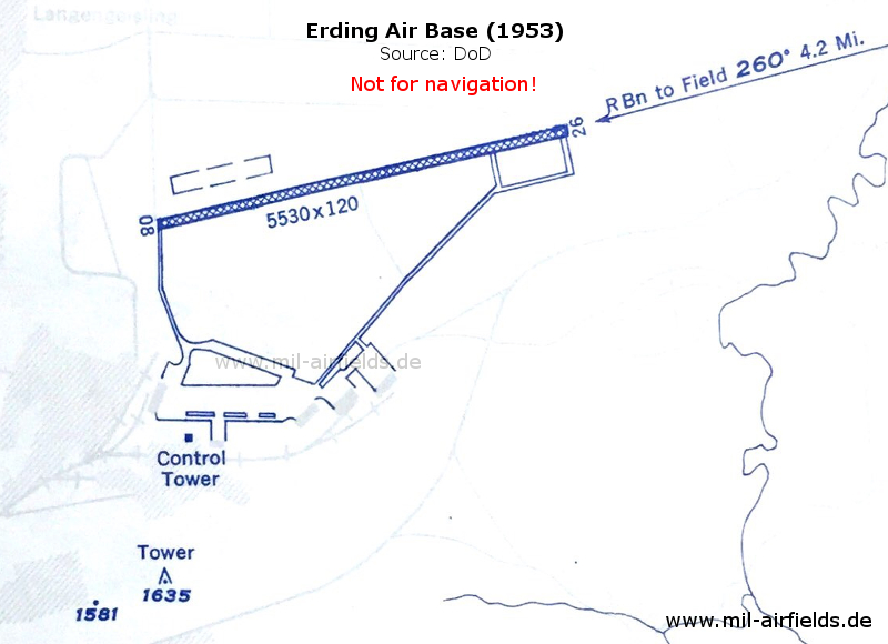
The Erding US Air Base on a map from 1953 - The runway is 1685 m (5530 ft) long and is made of steel planks (PSP). In the south, the airfield has a railway siding.
Source: US DoD
Runways
- 08/26: 1685 m ( 5530 ft) x 37 m (120 ft) PSP
Radio beacons
- NDB: 338 "RD", 260°/4.2 NM to field
Radio communication
- Tower 3255 kcs, 118.1 Mcs
Additional information
On October 29th, 1952, sighting of an unidentified flying object by a US airman at Erding Air Depot. At about 07:20 local time, a circular silver-colored object was visible for about 20 seconds. It moved at an estimated height of 7000 ft and with a speed of 400 mph in northwestern direction. No target was seen on the radar, no air traffic was reported at this time (Source: Air Intelligence Information Report 38-52, 85th Air Depot Wing, National Archives, Identifier 28951079)
In the 1970s
Situation
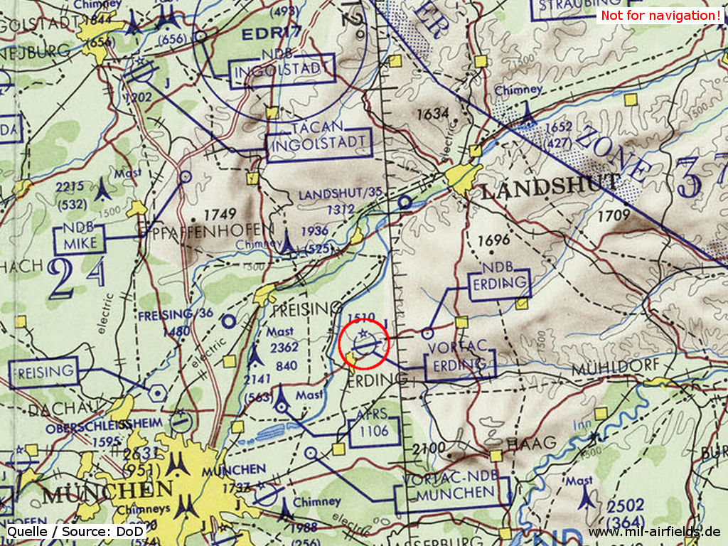
Erding Air Base on a map of the US Department of Defense from 1972
Source: ONC E-2 (1972), Perry-Castañeda Library Map Collection, University of Texas at Austin
In the 1980s
Use
German Air Force base.
Overview
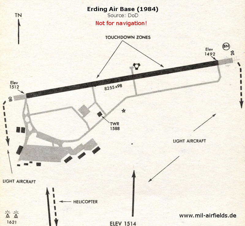
Erding 1984
Source: US DoD
Runways
- 08/26: 2517 m x 30 m Concrete
Radio beacons
- NDB: 338 "ERD", 258°/4 NM to field
- VORTAC: 113.6 / CH83 "ERD", at field
Today
Use
Closed.
Overview
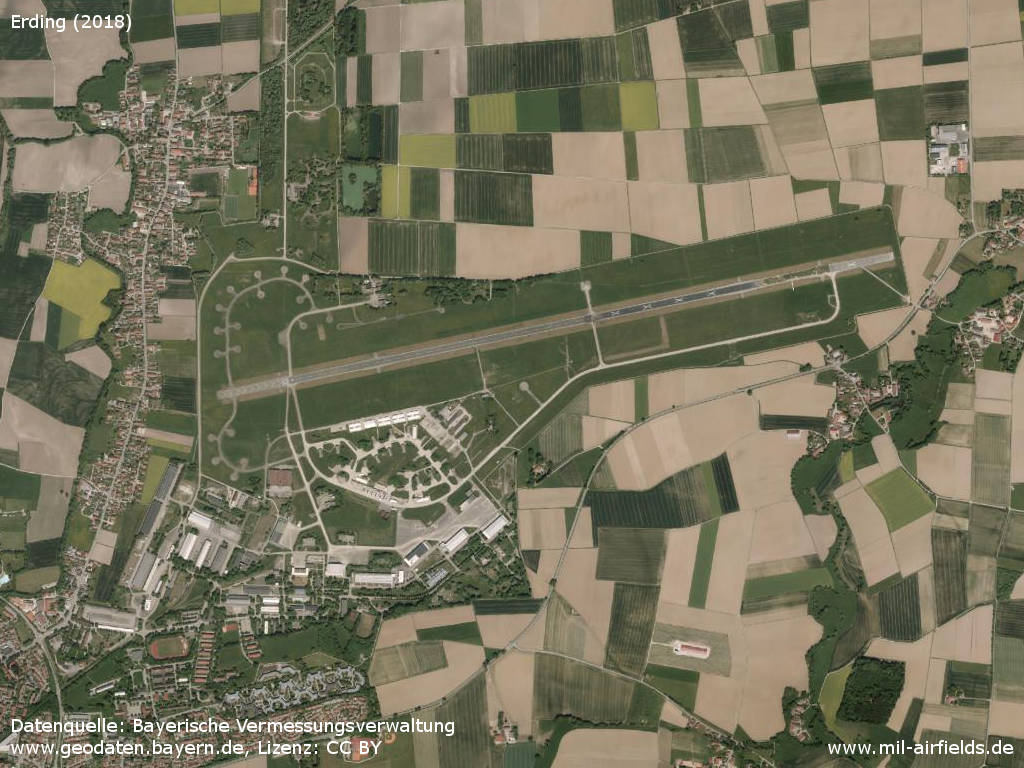
Aerial picture
Source: Datenquelle: Bayerische Vermessungsverwaltung www.geodaten.bayern.de, License: Creative Commons Namensnennung 3.0 Deutschland (CC BY 3.0 DE)
Sources
- https://geoportal.bayern.de/ - Geoportal Bayern
Airfields in the vicinity
Categories
Military Airfields GermanyMilitary Airfields in former West GermanyGerman Air Force Air BasesAir Bases of the United States Air Force (USAF) in GermanyRecommended

Image credits are shown on the respective target page, click on the preview to open it.
 Follow mil-airfields on Facebook