For historical information only, do not use for navigation or aviation purposes!
| Coordinates | N521343 E0124943 (WGS84) Google Maps |
| Former East Germany (GDR) | District of Potsdam |
| Federal state | Brandenburg |
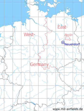
Germany during the Cold War Map
The history of the Cold War airfields: Neuendorf Helipad
Location
Today Neuendorf belongs to the city of Brück.
Location of airfield
3 km north of Neuendorf
Usage during the Cold War
Helipad 1030 for Missile Support Base 2 (Raketentechniche Basis 2, RTeB-2) of former East German Ministry of National Defense (MfNV/NVA).
Use today
Closed.
Runways, taxiways, aprons
Dimensions: 200 m x 400 m,
main takeoff and landing direction: 45°,
surface: sand with light grass vegetation,
capacity: 4 helicopters.
main takeoff and landing direction: 45°,
surface: sand with light grass vegetation,
capacity: 4 helicopters.
Telephone
Drahtverbindung mit LFK möglich.
Airspace and procedures
Usable at day and night during good weather conditions.
Alert time: 2 hours.
Alert time: 2 hours.
Obstacles
None.
Units
The Missile Support Base2 "Robert Neddermeyer" was stationed in Brück. It was directly subordinated to the East German Ministry of National Defense (MfNV).
- Address: Post box 21568
- National People's Army installation ID: 04/036
- Address: Post box 21568
- National People's Army installation ID: 04/036
 Follow mil-airfields on Facebook