For historical information only, do not use for navigation or aviation purposes!
| Coordinates | N520833 E0124009 (WGS84) Google Maps |
| Elevation | 215 ft |
| Former East Germany (GDR) | District of Potsdam |
| Federal state | Brandenburg |
| Location indicator | EDOJ |
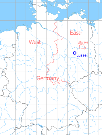
Germany during the Cold War Map
The history of the Cold War airfields: Lüsse
Location of airfield
5 km east of Belzig
During the Cold War
Use
Lüsse was located in East Germany. The field was a Soviet reserve airfield, reported to be used by helicopters. In addition, glider pilots were once observed.
Situation
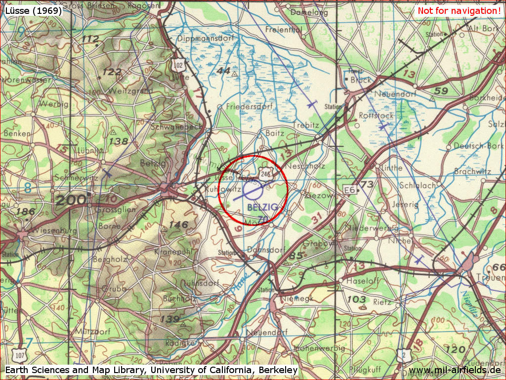
Lüsse airfield on a US map from 1969
Source: Earth Sciences and Map Library, University of California, Berkeley
Runways
- 09/27: 3000 m Grass
The grass was mowed by the local Agricultural Production Cooperative (LPG).
Today
Use
General aviation (EDOJ).
Overview
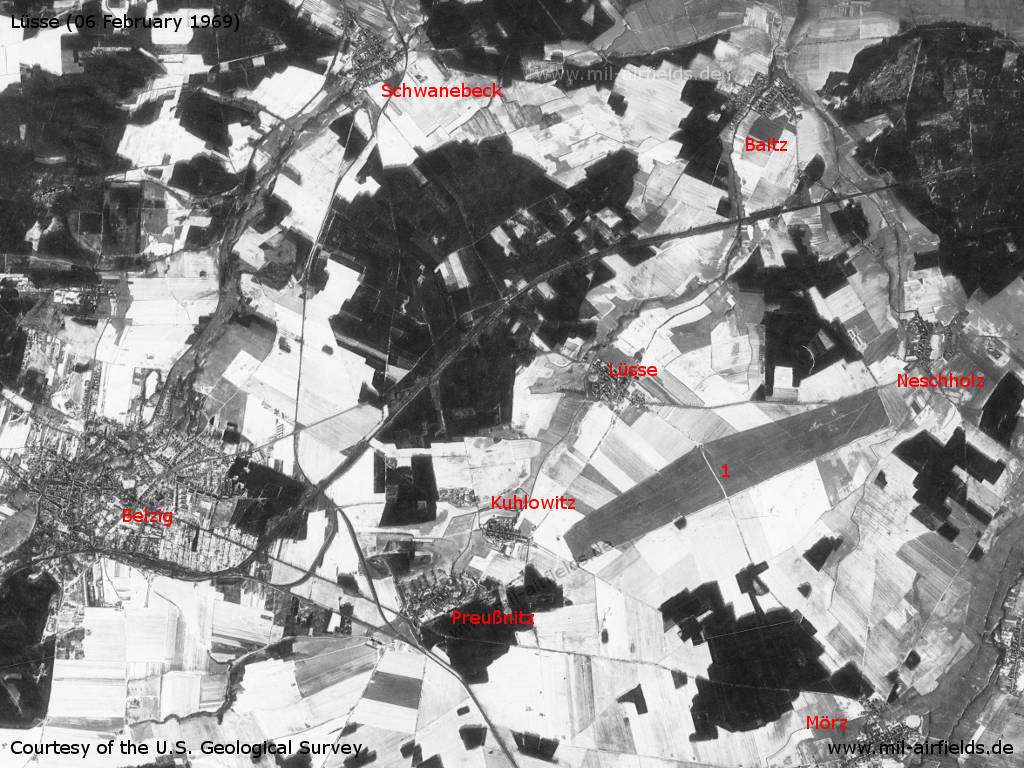
Belzig and Lüsse airfield east of it on a US satellite picture from Thursday 06 February 1969 - The landscape is mostly snow-covered, but the airfield (1) is free. Other places: Baitz, Kuhlowitz, Mörz, Neschholz, Preußnitz, Schwanebeck.
Source: U.S. Geological Survey
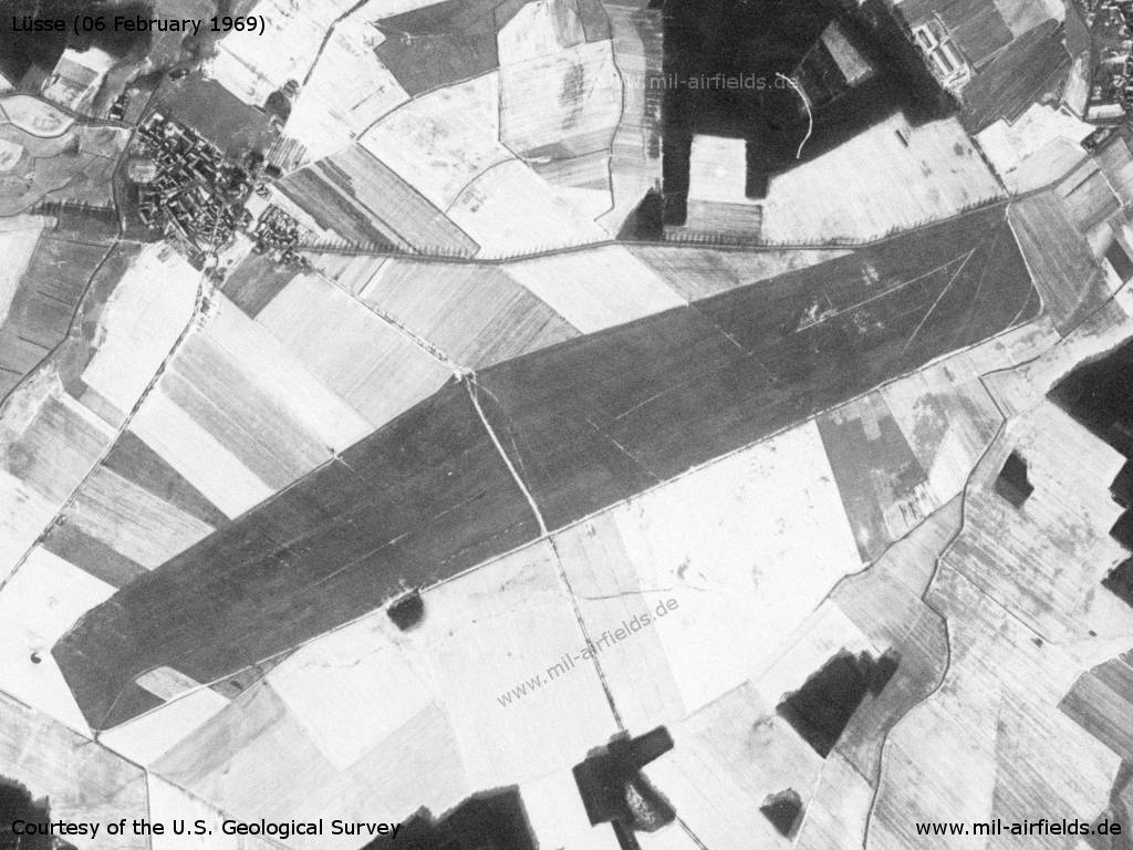
The airfield
Source: U.S. Geological Survey
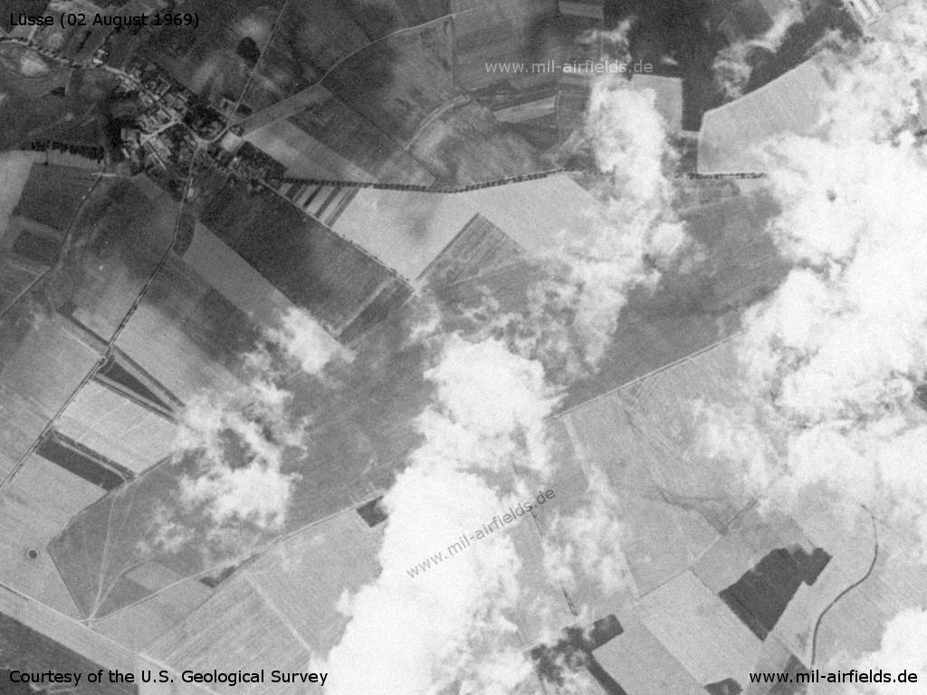
Satellite image from Saturday 02 August 1969 - Some clouds are obstructing the view.
Source: U.S. Geological Survey
Links
- http://www.fcc-berlin.de/ - FCC Berlin
Bibliography
- Freundt, Lutz: "Sowjetische Fliegerkräfte in Deutschland 1945-1994, Band 1" Freundt Eigenverlag, Diepholz 1998 - Short description
Airfields in the vicinity
Recommended
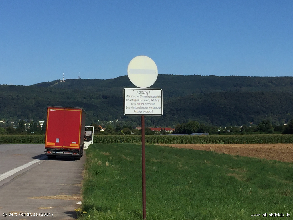
Image credits are shown on the respective target page, click on the preview to open it.
 Follow mil-airfields on Facebook