Mahlwinkel: Air Base
For historical information only, do not use for navigation or aviation purposes!
| Coordinates | N522318 E0114935 (WGS84) Google Maps |
| Former East Germany (GDR) | District of Magdeburg |
| Federal state | Sachsen-Anhalt (Saxony-Anhalt) |
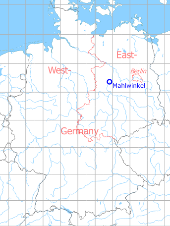
Germany during the Cold War Map
The history of the Cold War airfields: Mahlwinkel
During the Cold War
Use
Soviet airfield / helicopter base.
In the 1960s
Overview
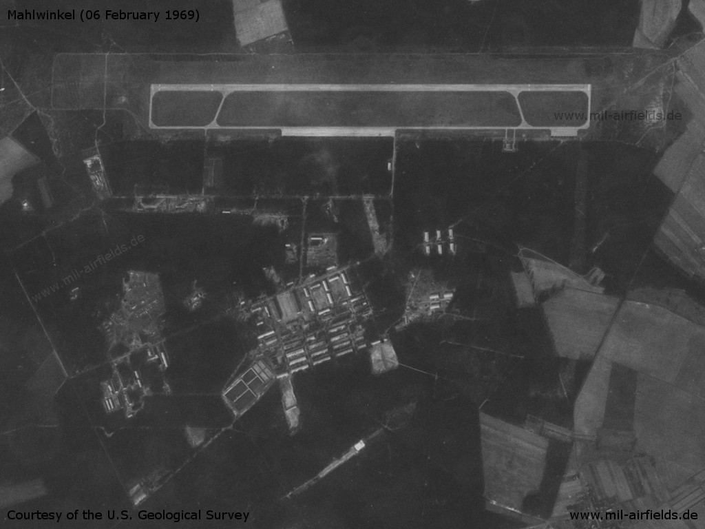
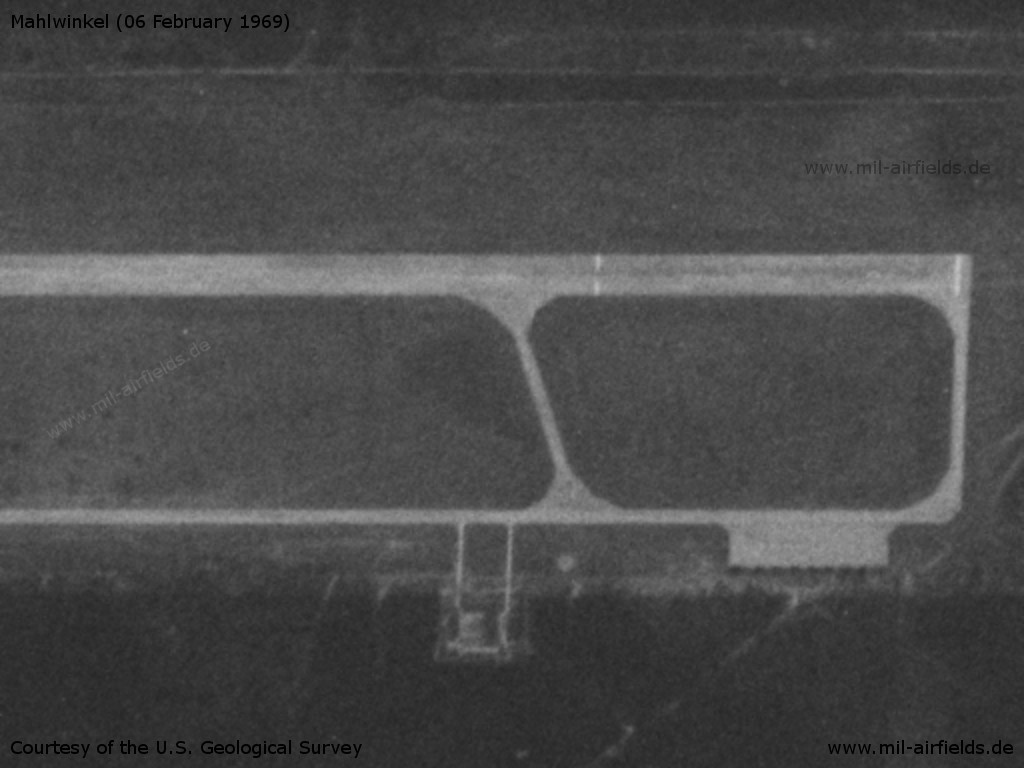
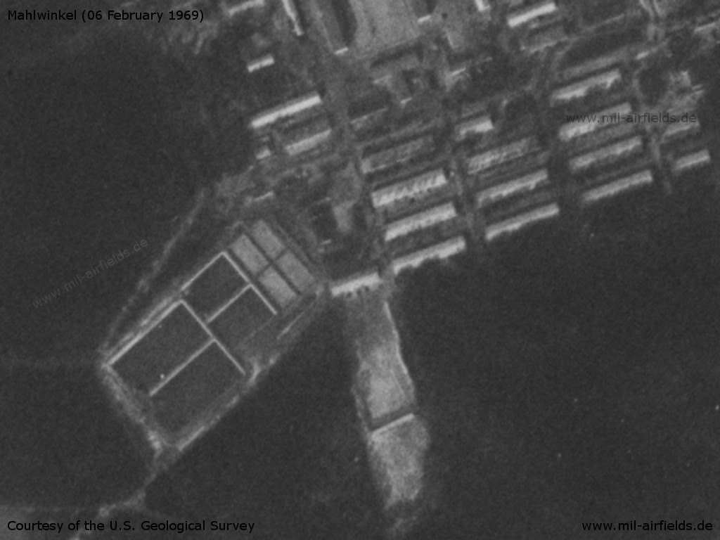
Mahlwinkel Air Base on a US satellite image from 06 February 1969 - The airfield has a simple layout. In the south are the barracks.
Source: U.S. Geological Survey
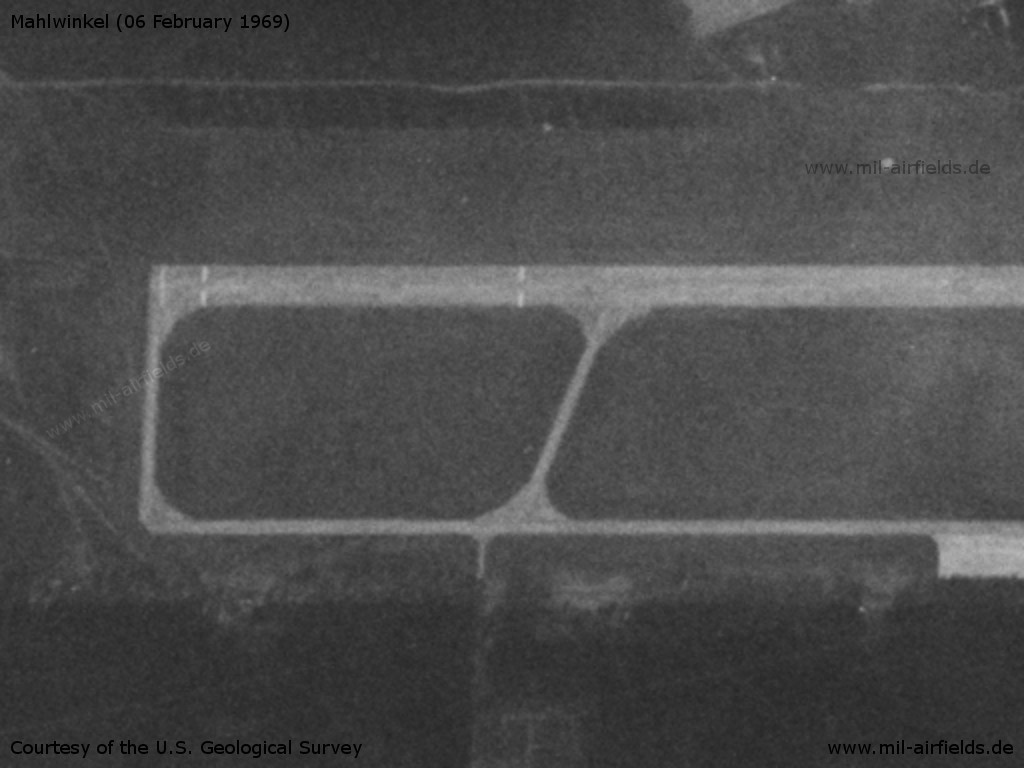
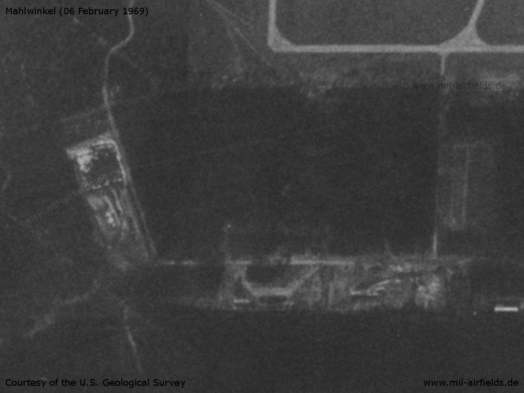
Western end of the runway
Source: U.S. Geological Survey
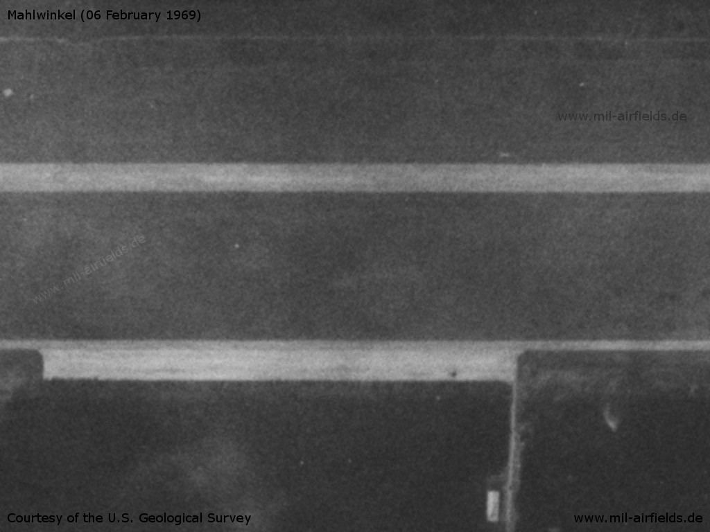
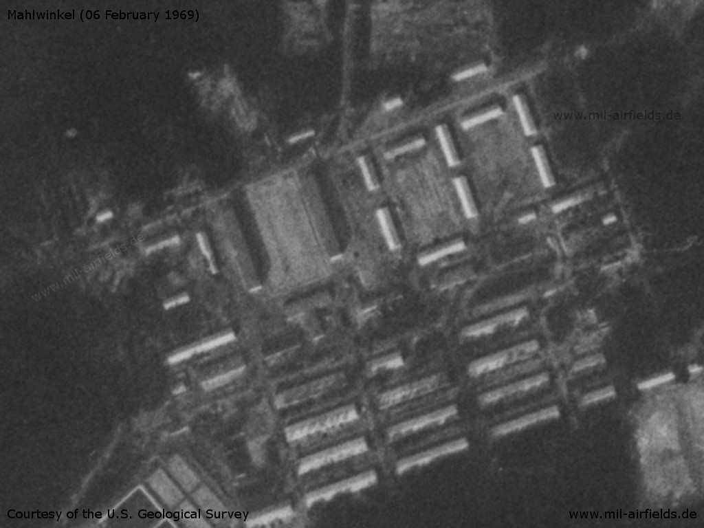
Flight line
Source: U.S. Geological Survey
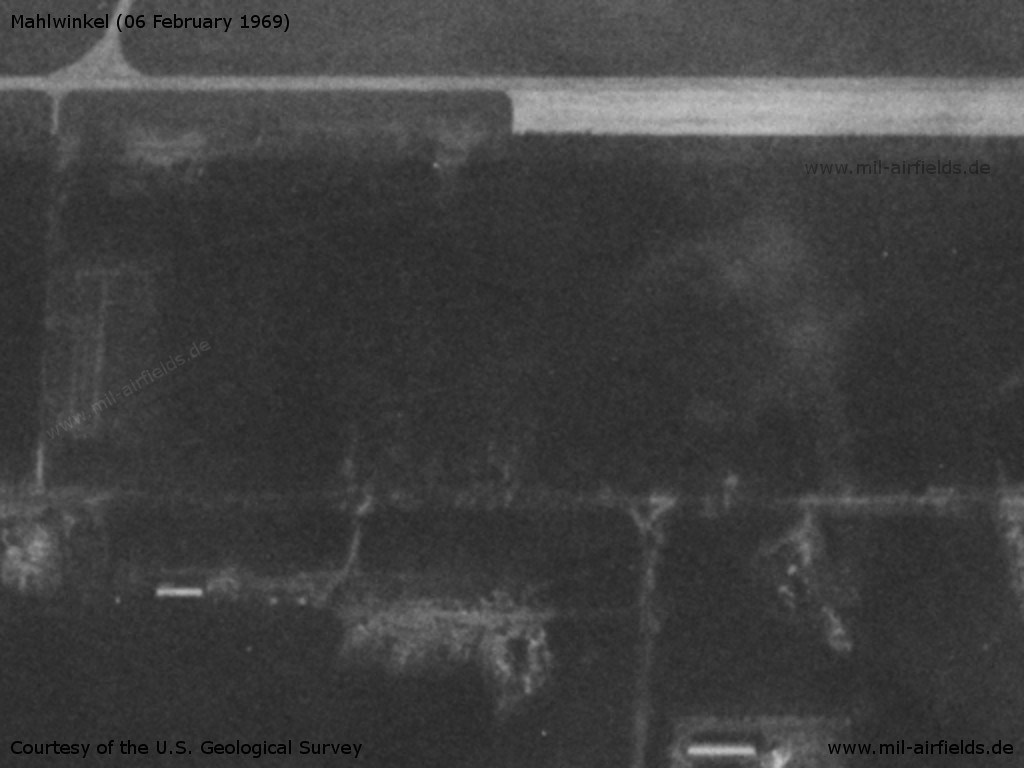
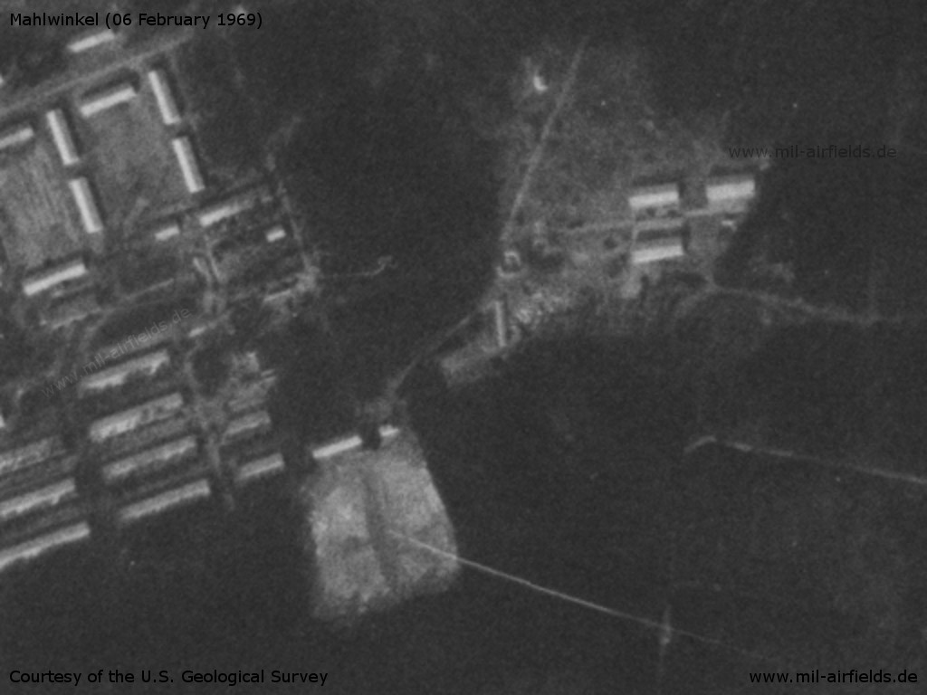
Eastern end of the runway
Source: U.S. Geological Survey
Source: U.S. Geological Survey
Source: U.S. Geological Survey
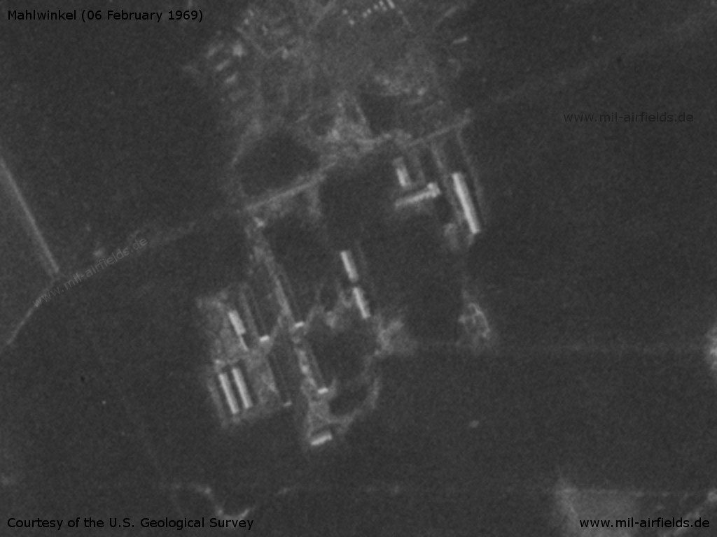
Buildings
Source: U.S. Geological Survey
Barracks, southwestern part
Source: U.S. Geological Survey
Soviet barracks
Source: U.S. Geological Survey
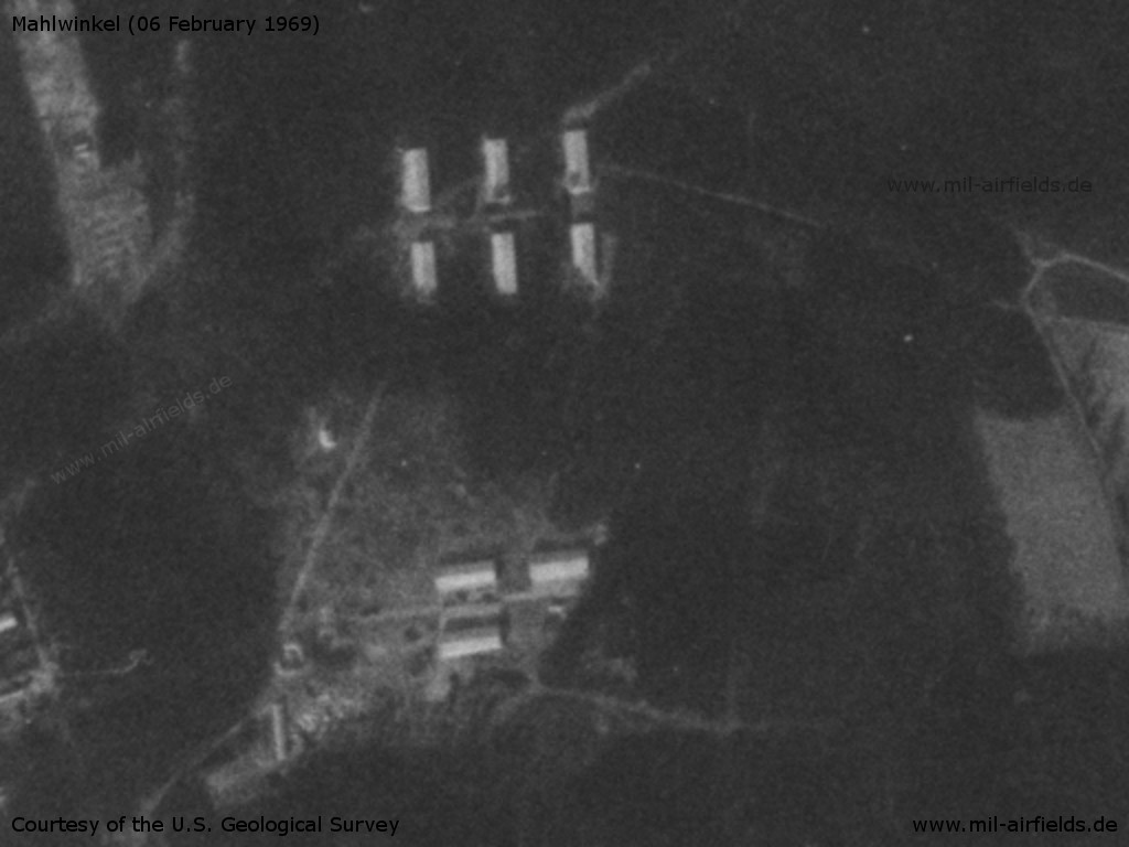
Installations
Source: U.S. Geological Survey
Installations
Source: U.S. Geological Survey
In the 1970s
Situation
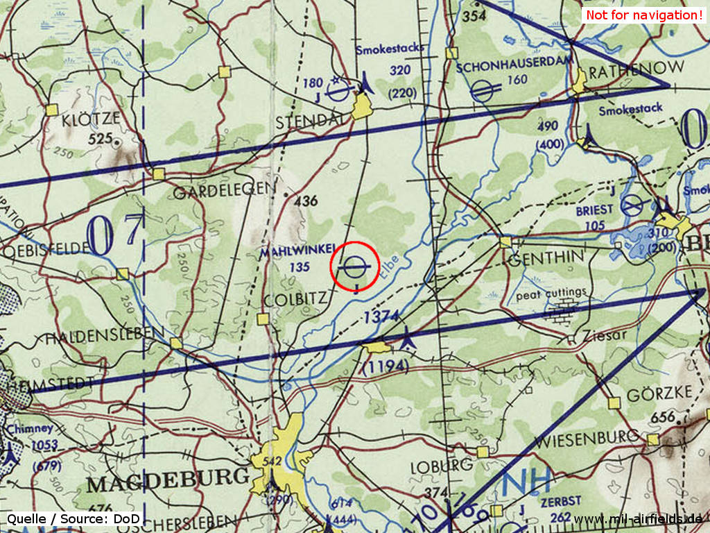
Mahlwinkel Air Base on a map of the US Department of Defense from 1972
Source: ONC E-2 (1972), Perry-Castañeda Library Map Collection, University of Texas at Austin
In the 1980s and early 1990s
Runways
Data for the year 1990:
- 09/27: 2500 m Concrete
Radio beacons
Data for the year 1990:
- LOM 27: 300 "ZW"
- LMM 27: 620 "Z"
- LMM 09: 620 "NU"
Radio communication
Call sign: OSENNIJ (1990)
Units
1990: 296 OVE (Mi-2, Mi-6, Mi-8, Mi-9, Mi-24); 337 OBVP (Mi-8, Mi-24)
Installations
Railway siding from Mahlwinkel station to the southern part of the airfield.
Today
Use
Closed.
Airfields in the vicinity
- 172°/17km Burg: Airfield
- 359°/27km Stendal: Air Base (Borstel)
- 040°/33km Schönhauser Damm: Airfield (Schönhausen, Schonhauserdamm)
- 141°/35km Groß Lübars: Airfield (Altengrabow)
 Follow mil-airfields on Facebook