For historical information only, do not use for navigation or aviation purposes!
| Coordinates | N492336 E0083907 (WGS84) Google Maps |
| Federal state | Baden-Württemberg |
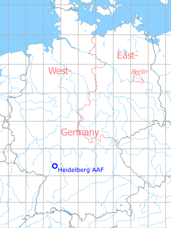
Germany during the Cold War Map
The history of the Cold War airfields: Heidelberg
During the Cold War
General
Airfield for US Army utility aircraft and helicopters. The airfield had a difficult obstacle situation.
In the 1960s
Overview
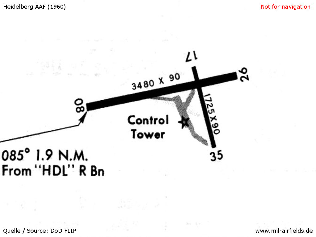
Map from the year 1960. At this time there was also a runway in roughly north-south direction 17/35.
Source: US DoD
Maps
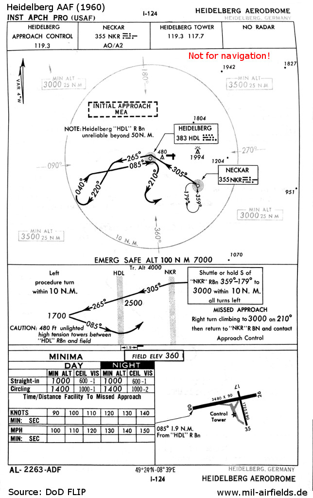
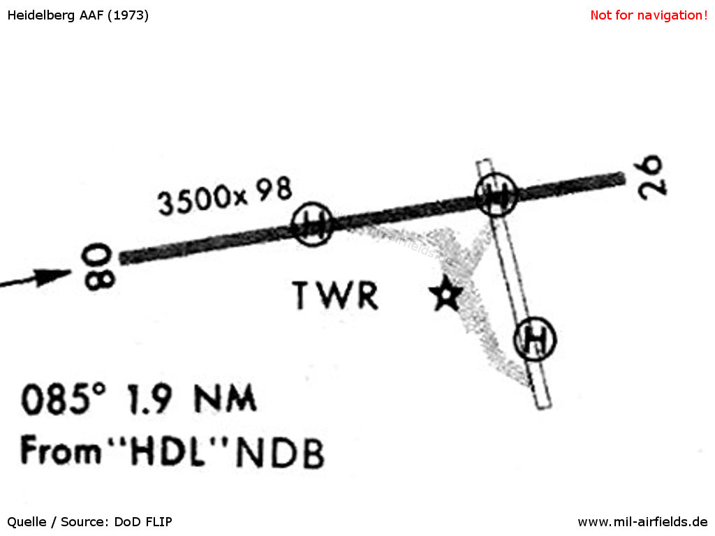
NDB approach in 1960 - Due to the difficult obstacle situation in the east, an instrument approach is only possible from the west. Also the missed approach procedure must be already initiated at the HDL beacon. In addition, between the HDL and the field there is a unlighted high-voltage power supply line.
Source: US DoD
Images from April 1961
Source: Radio-TV tour, Germany. US National Archives. National Archives Identifier: 28518, Local Identifier: 111-LC-45092
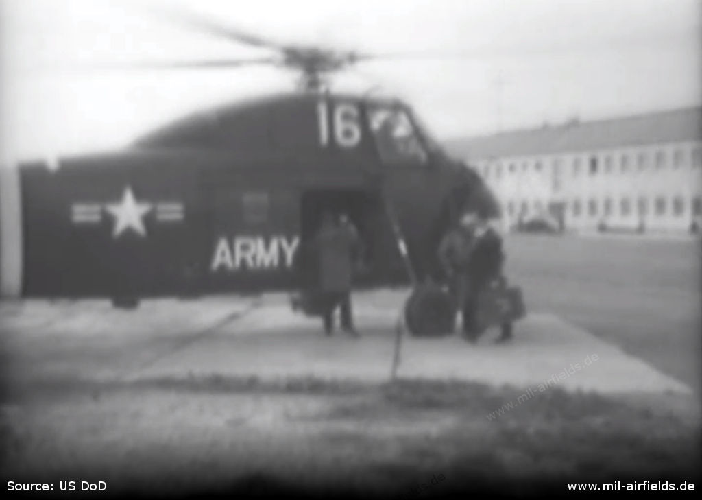
A US Army helicopter Sikorsky S-58 / H-34 at Heidelberg Army Airfield
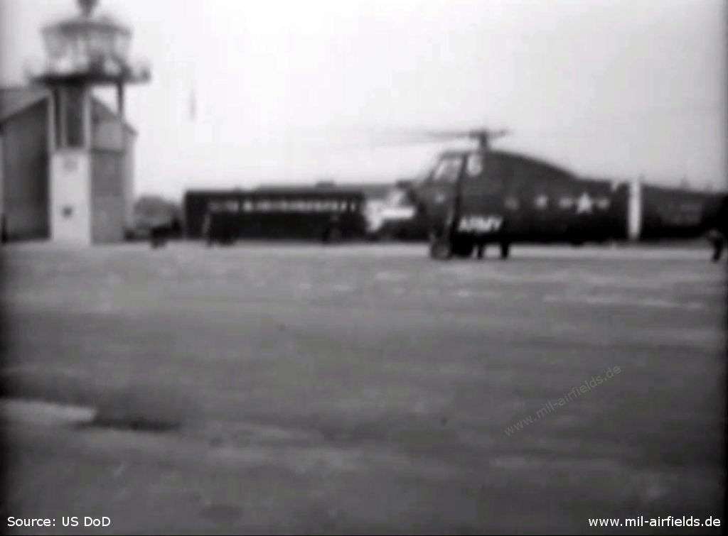
Control tower, bus and helicopter
In the 1970s
Situation
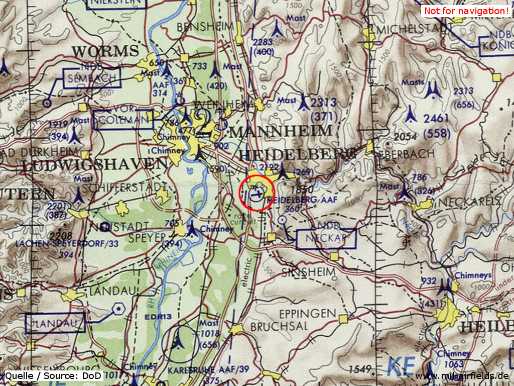
Heidelberg Army Air Field AAF on a map of the US Department of Defense from 1972
Source: ONC E-2 (1972), Perry-Castañeda Library Map Collection, University of Texas at Austin
Overview
In 1973, the north-south runway was already closed.
Source: US DoD
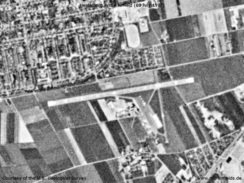
Heidelberg Army Air Field AAF on a US satellite image from 03 July 1977
Source: U.S. Geological Survey
Runways
- 08/26: 1067 m x 30 m Asphalt
- 17/35: 401 m x 12 m
In the 1980s
Situation
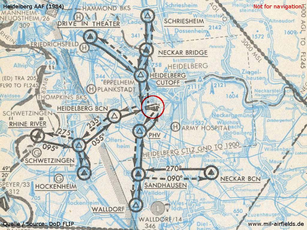
VFR arrival and departure routes in 1984 - The black triangles are compulsory reporting points, the unfilled ones are non-compulsory reporting points. The dashed rectangle is the Heidelberg control zone ("HEIDELBERG CTLZ").
Source: US DoD
Overview
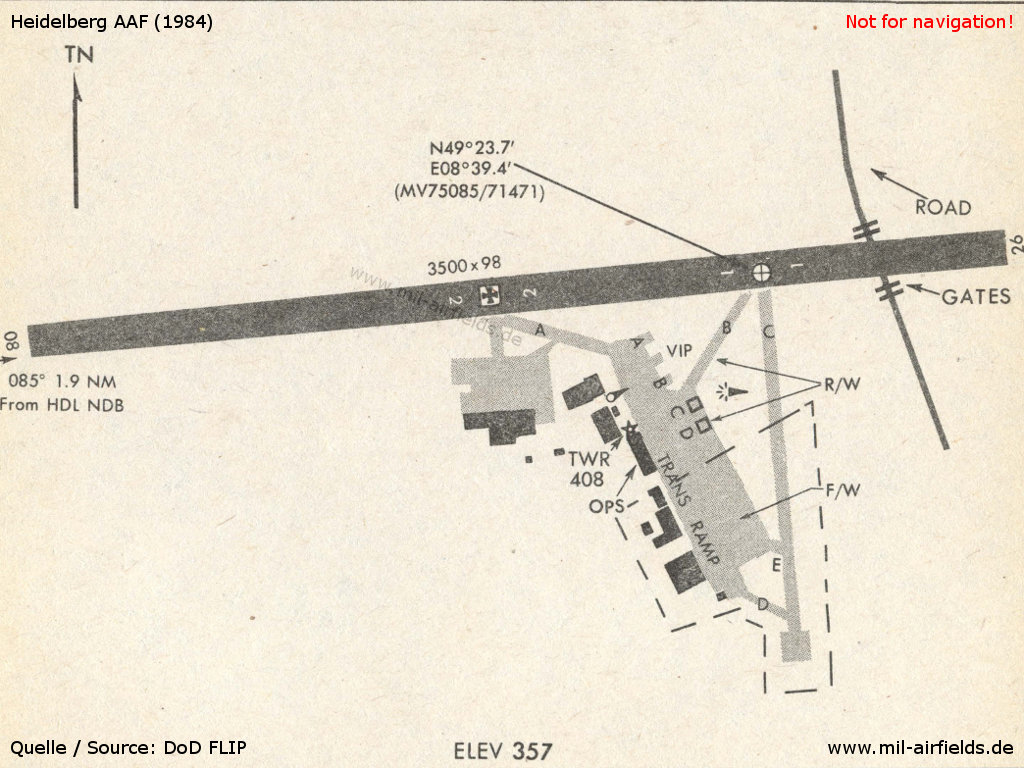
This map from 1984 shows the airfield with runway, taxiways, ramps and buildings. - In the east, a road leads over the runway. The former north-south runway is now being used as a taxiway C. On its northern end (not shown here) is the approach radar.
Source: US DoD
Runways
- 08/26: 1067 m x 30 m Concrete
Radio beacons
- NDB: 417 "HDL", 080°/1.9NM to field
Maps
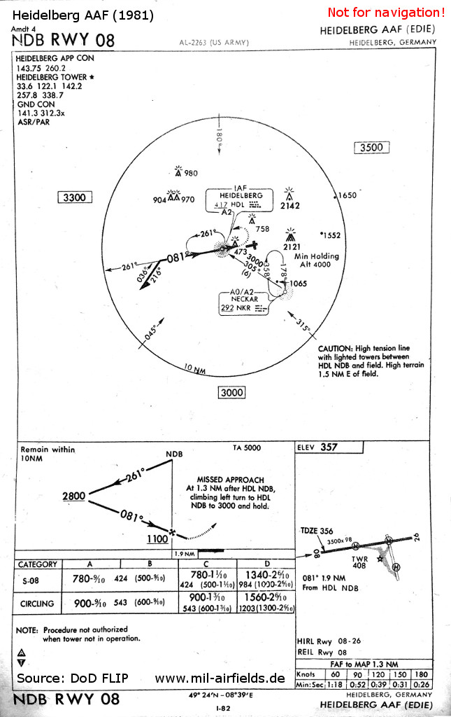
NDB approach in 1981 - Heidelberg had its own "Heidelberg Approach Control" (APP CON) and was equipped with an aerodrome surveillance radar (ASR) and a precision approach radar (PAR). The missed approach procedure is now heading north.
Source: US DoD
Today
Use
Closed.
Images
Pictures from 2016:
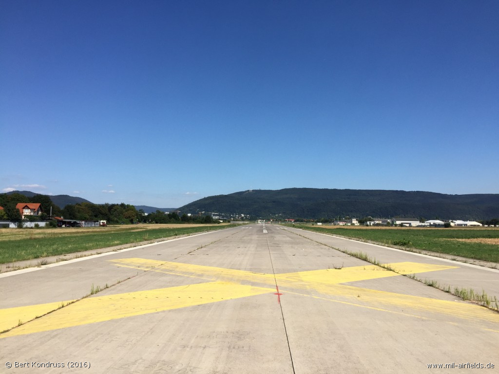
Runway: Looking from the western end to the east - The hill in the background is the Königstuhl, which limited operations from and to the east.
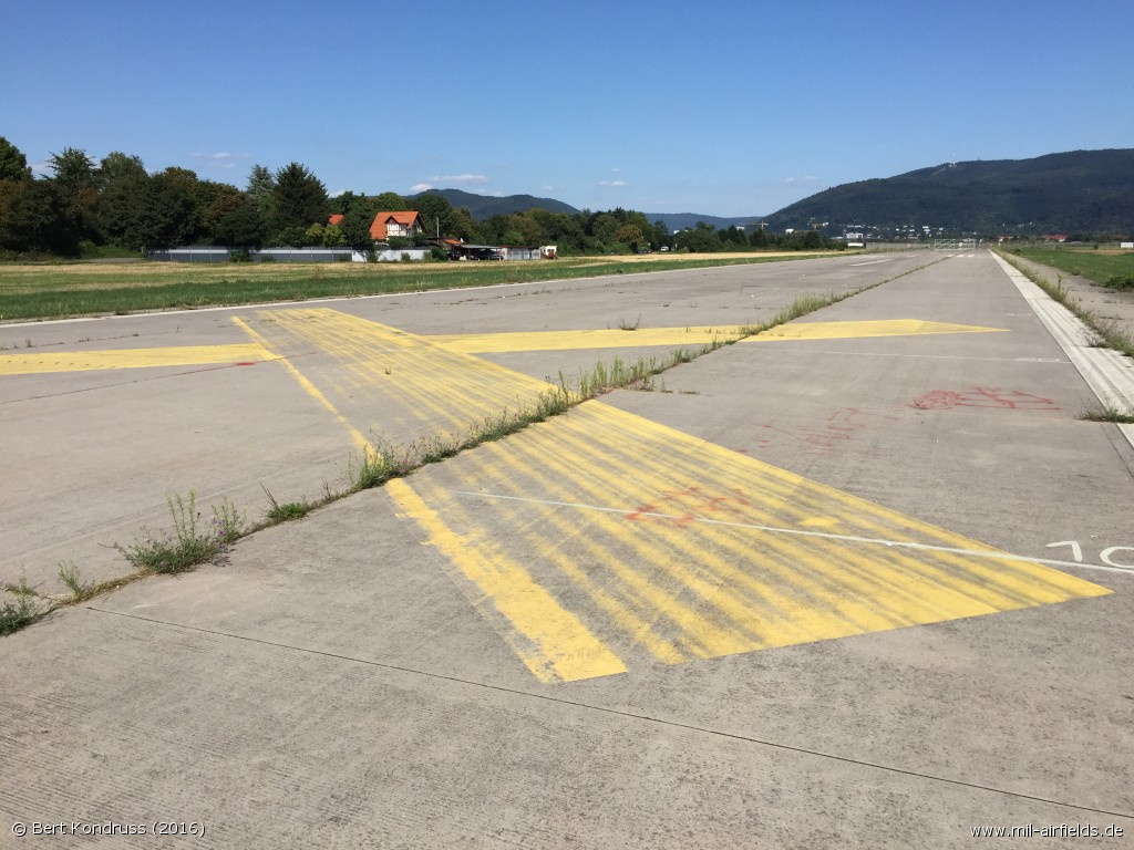
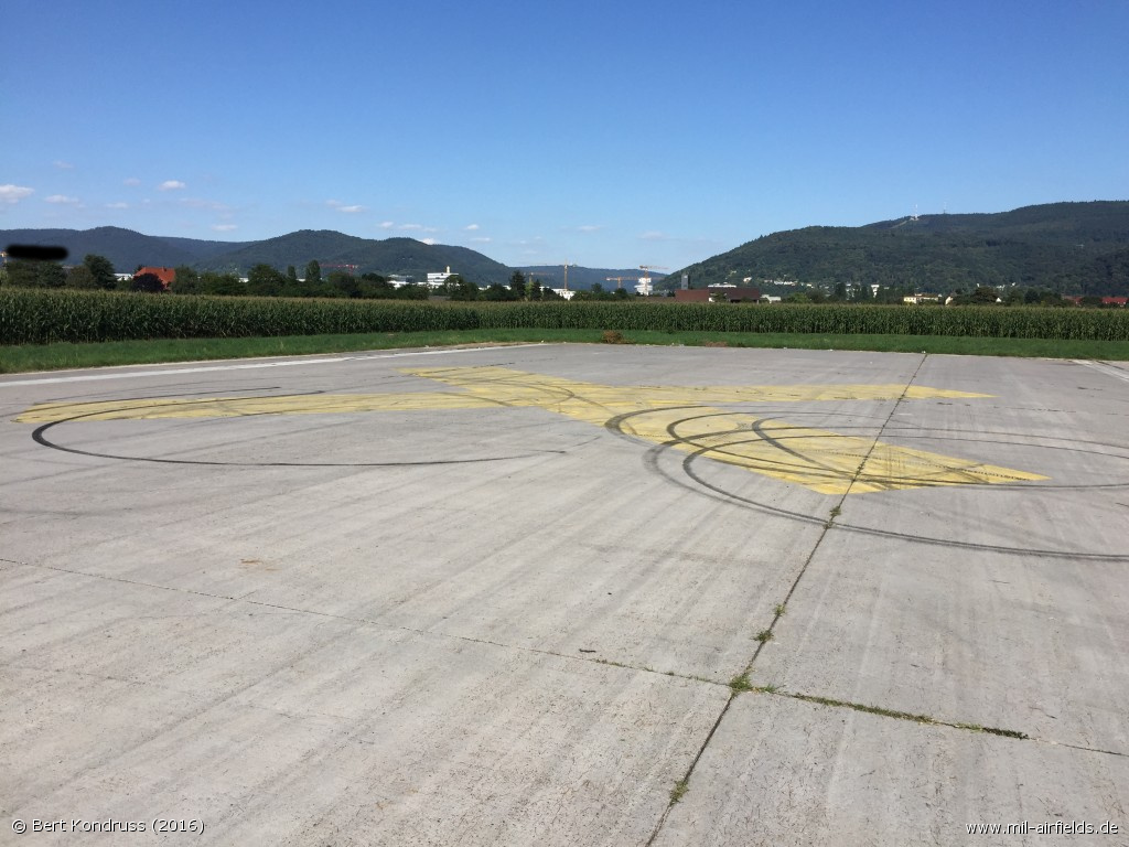
The closed runway is marked with yellow crosses
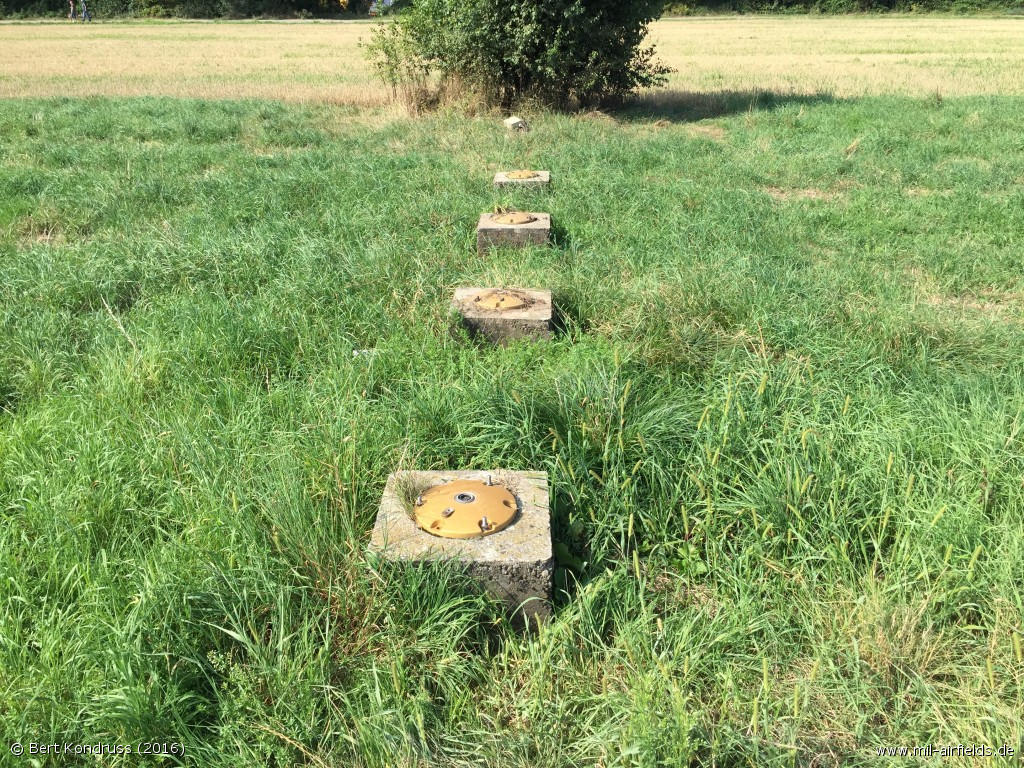
Remains of the lighting
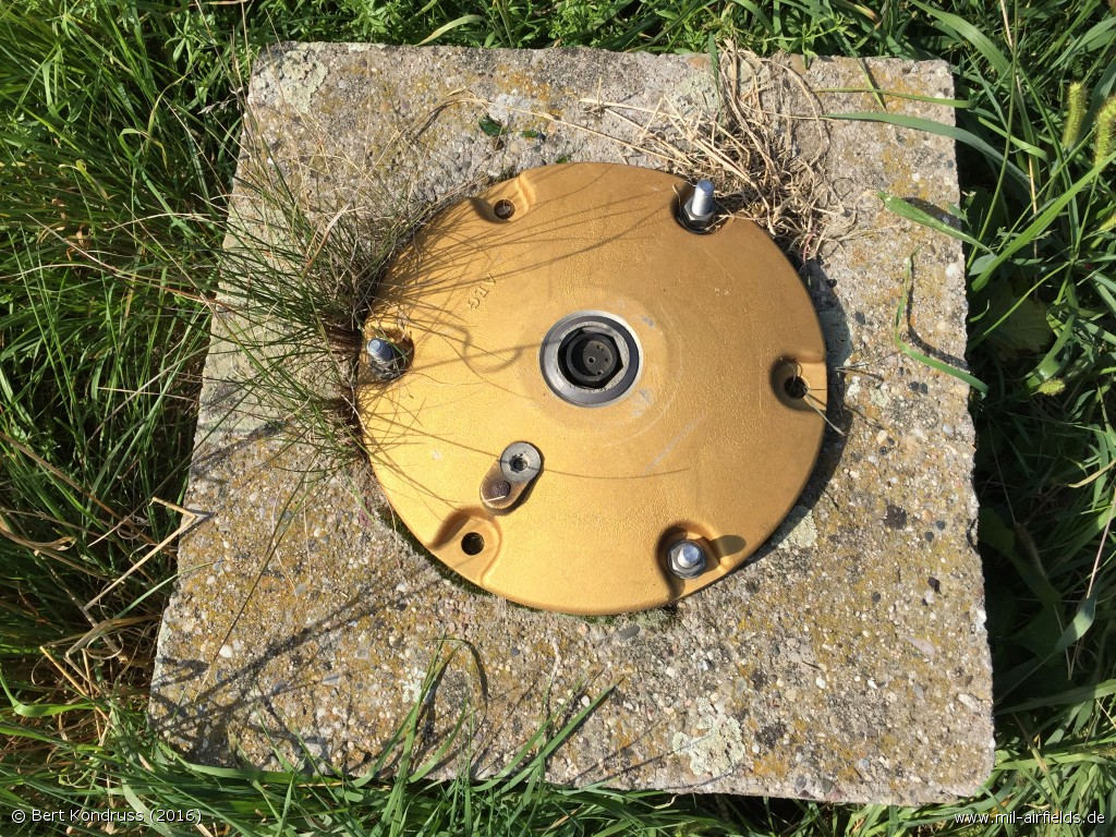
Foundation of the former lighting system
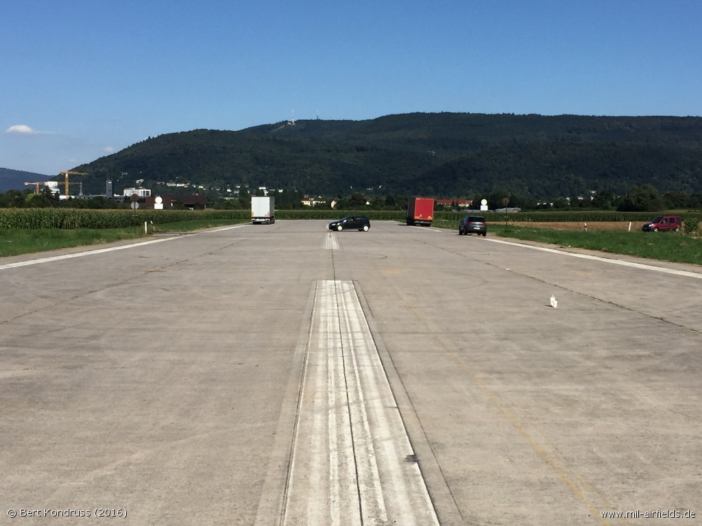
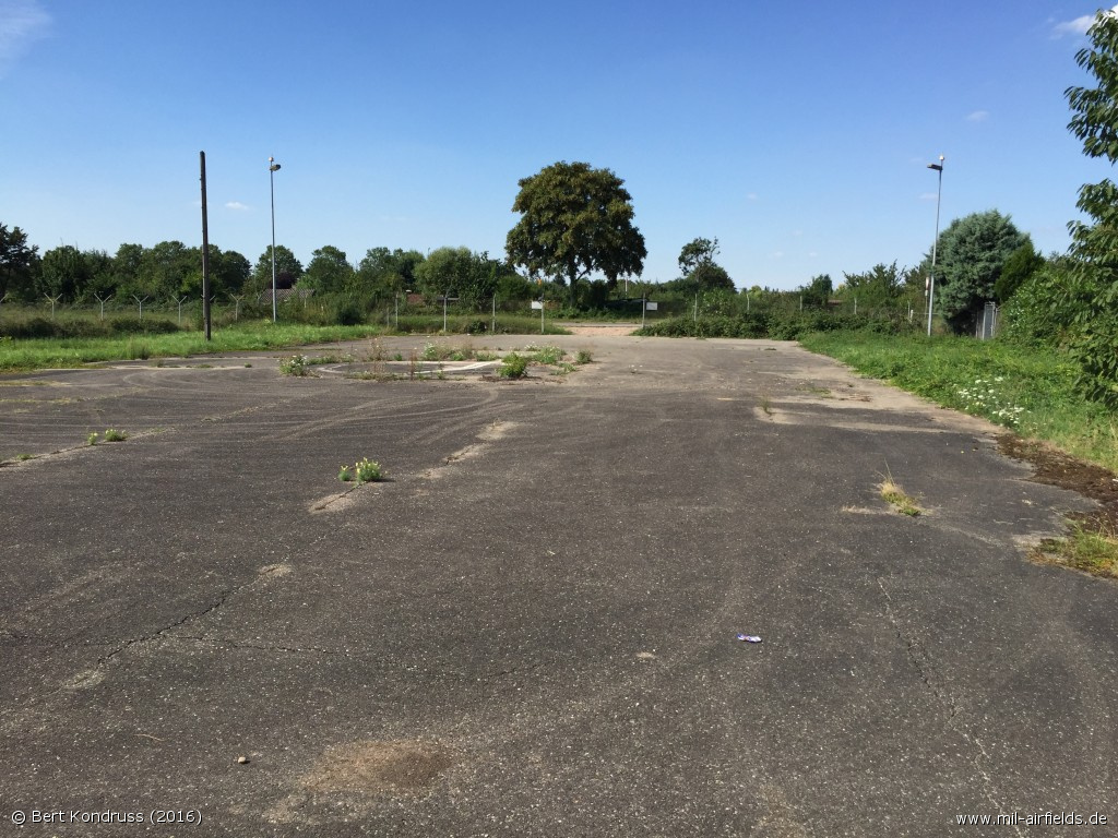
At the eastern end, a road is leading across the former runway - The telecommunication equipment in the background is located on the Königstuhl.
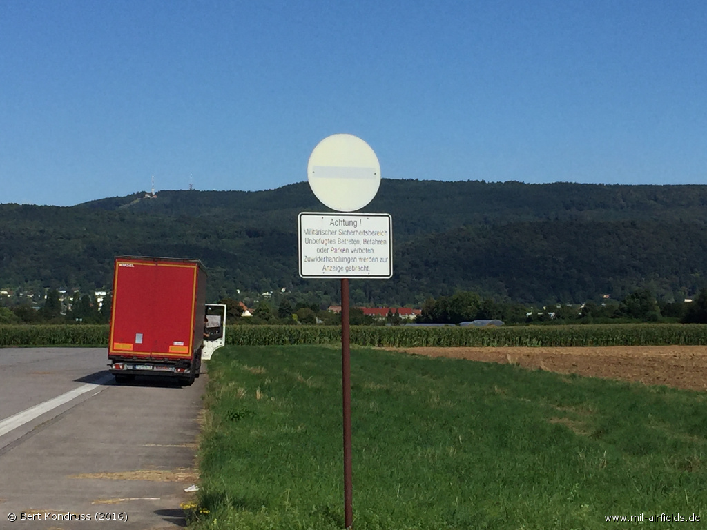
The eastern end is still signposted as a military security area.
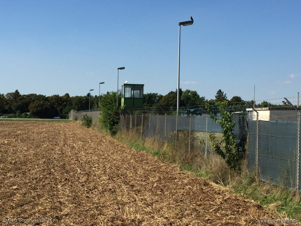
At the eastern side
Former position of the approach radar on the northern end of the old north-south runway

Foundation
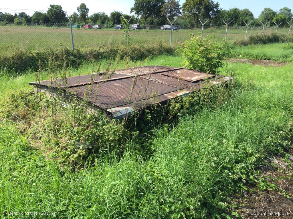
Shaft
Tower
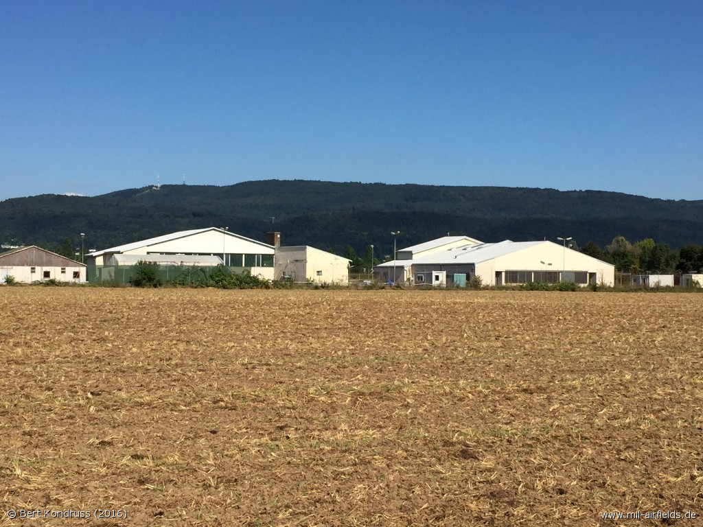
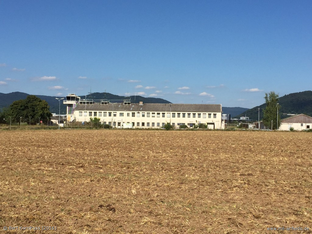
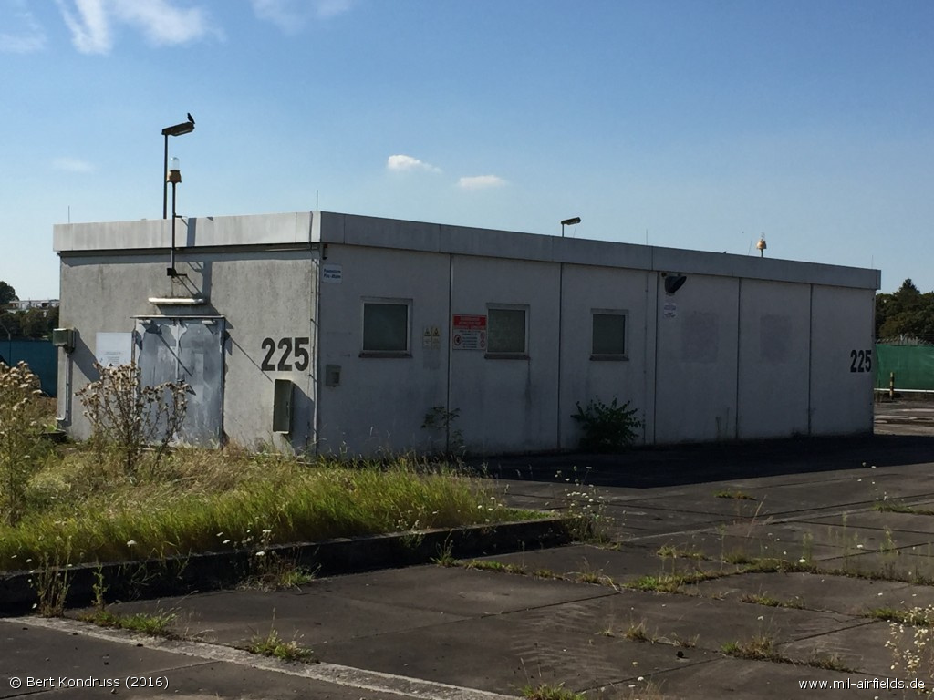
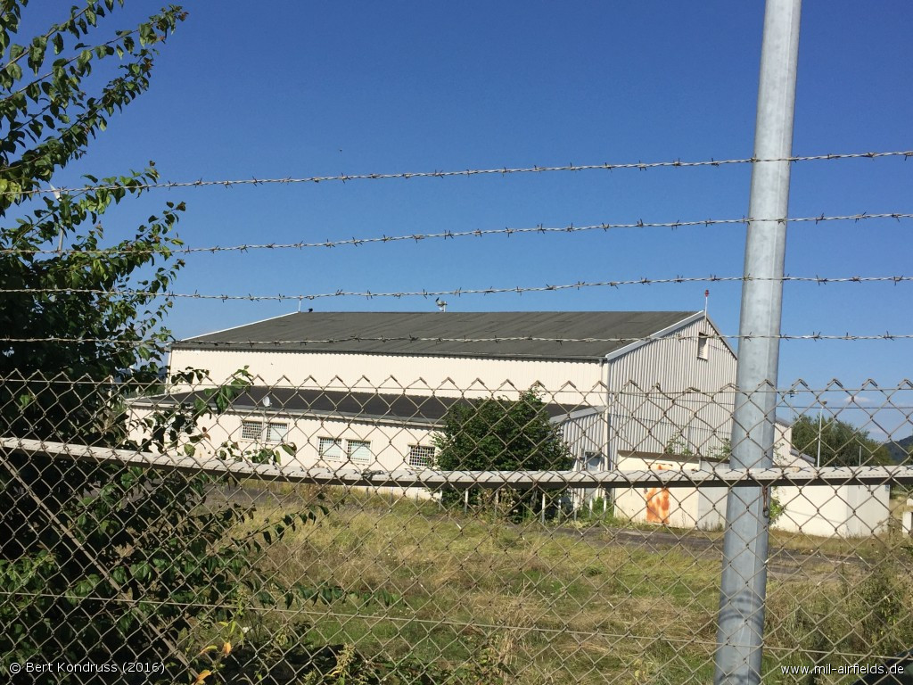
Buildings
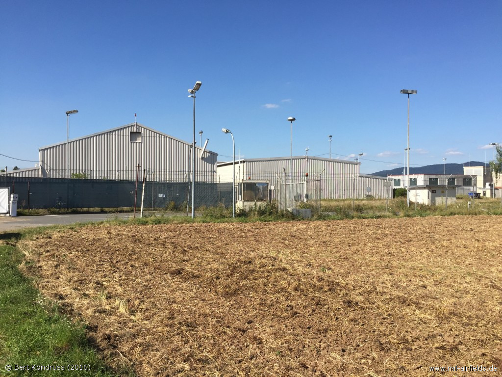
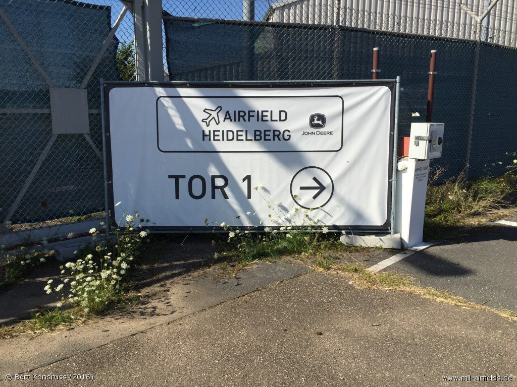
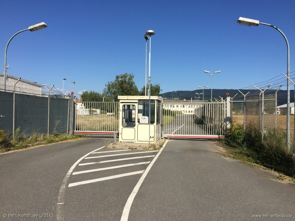
Gate
Picture from 2017:
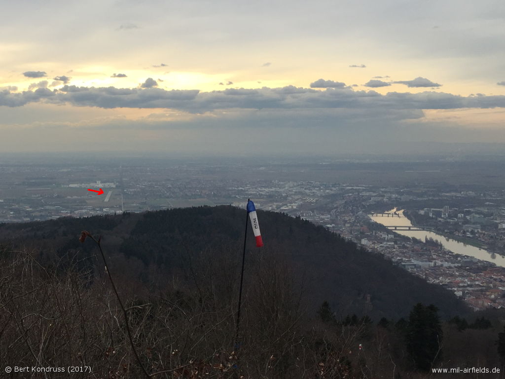
The former Army Airfield seen from the Königstuhl in March 2017 - The red arrow points to the airfield. On the right the city of Heidelberg.
Sources
- https://www.archives.gov - National Archives
Airfields in the vicinity
Categories
Military Airfields GermanyMilitary Airfields in former West GermanyUS Army Airfields and Heliports in GermanyRecommended
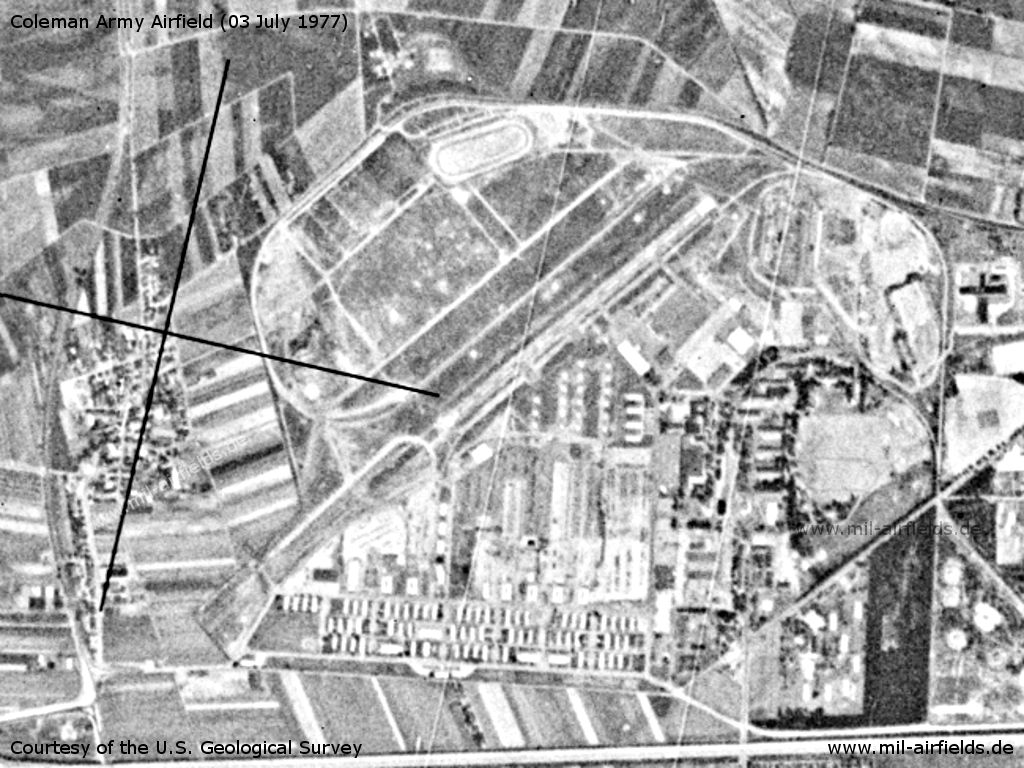
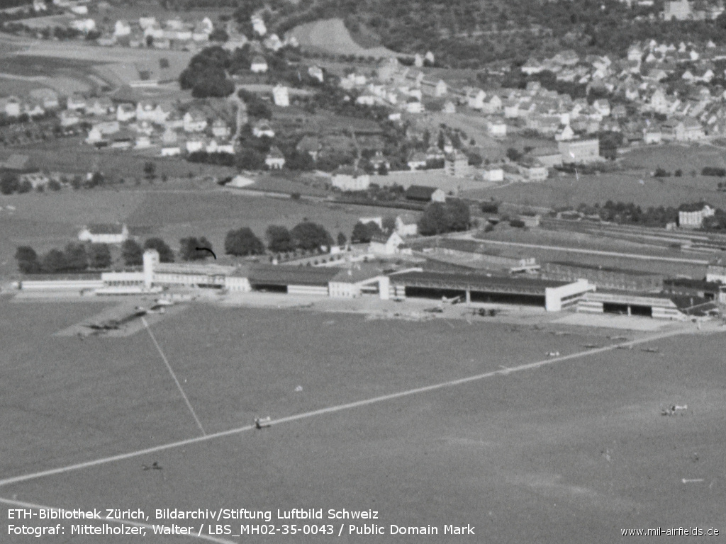
Image credits are shown on the respective target page, click on the preview to open it.
 Follow mil-airfields on Facebook