Stuttgart: Bad Cannstatt Hospital AHP
For historical information only, do not use for navigation or aviation purposes!
| Coordinates | N484842 E0091405 (WGS84) Google Maps |
| Elevation | 800 ft |
| Location indicator | EDOG |
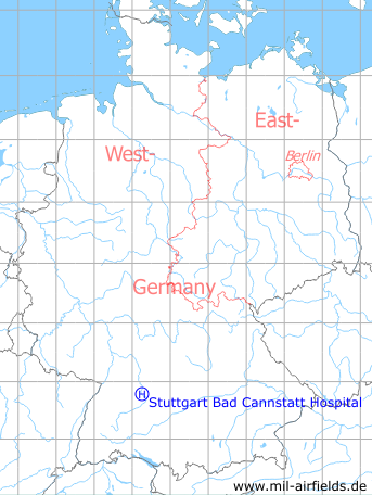
Germany during the Cold War Map
The history of the Cold War airfields: Stuttgart Bad Cannstatt Hospital Army Heliport
General
Helicopter landing ground at the US military hospital in Stuttgart Bad Cannstatt. At the beginning of the 1990s, the hospital was closed and the helipad dismantled.
During the Cold War
Use
US Army helipad at the 5th General Hospital.
In the 1960s
Runways, taxiways, aprons
The helipad is located on the athletic field.
Airspace and procedures
Operated from sunrise to sunset.
Approach from northwest and departure to the southeast. Traffic pattern northeast in 1500 ft MSL.
In the 1970s
Lights
The helipad is lighted.
Radio communication
Down and off times shall be given Monday till Friday from 06:30Z to 15:30Z to Nellingen Radio on frequencies 122.1, 33.6 or 31.8 mcs, at other times to Stuttgart Tower. Med Evac flights shall call the hospital on frequency 30.75 mcs prior to landing.
Telephone
Military 2722 extension 800, 806. After duty 2722 extension 807
Airspace and procedures
Operated from sunrise to sunset for routine flights and 24 hours for Med Evac flights. Prior permission required (PPR) for routine admin flights.
Recommended is the approach from and the departure to the north. Traffic pattern northeast in 1500 ft MSL.
Obstacles
Unmarked wires along the railroad.
In the 1980s and early 1990s
Situation
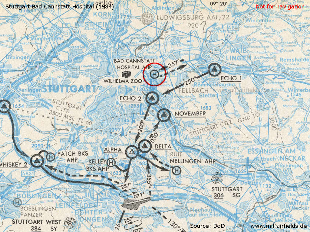
Map with visual approach to the military hospital from 1984
Radio communication
Arrival and departure times shall be be given to Nellingen Radio during normal duty hours, at other times to Stuttgart Base Ops. Prior to landing contact the hospital on frequency 30.75 mcs.
Telephone
During duty hours ETS 422-2825/2763, at other times -2807/2728
Airspace and procedures
For medical evacuation and flag officer flights only. Non medical evacuation flights require a prior permission 24 hours.
Recommended is the approach from and the departure to the northeast. Traffic pattern in the northeast in 1500 ft MSL.
Today
Use
Closed.
Images
Pictures from 2004
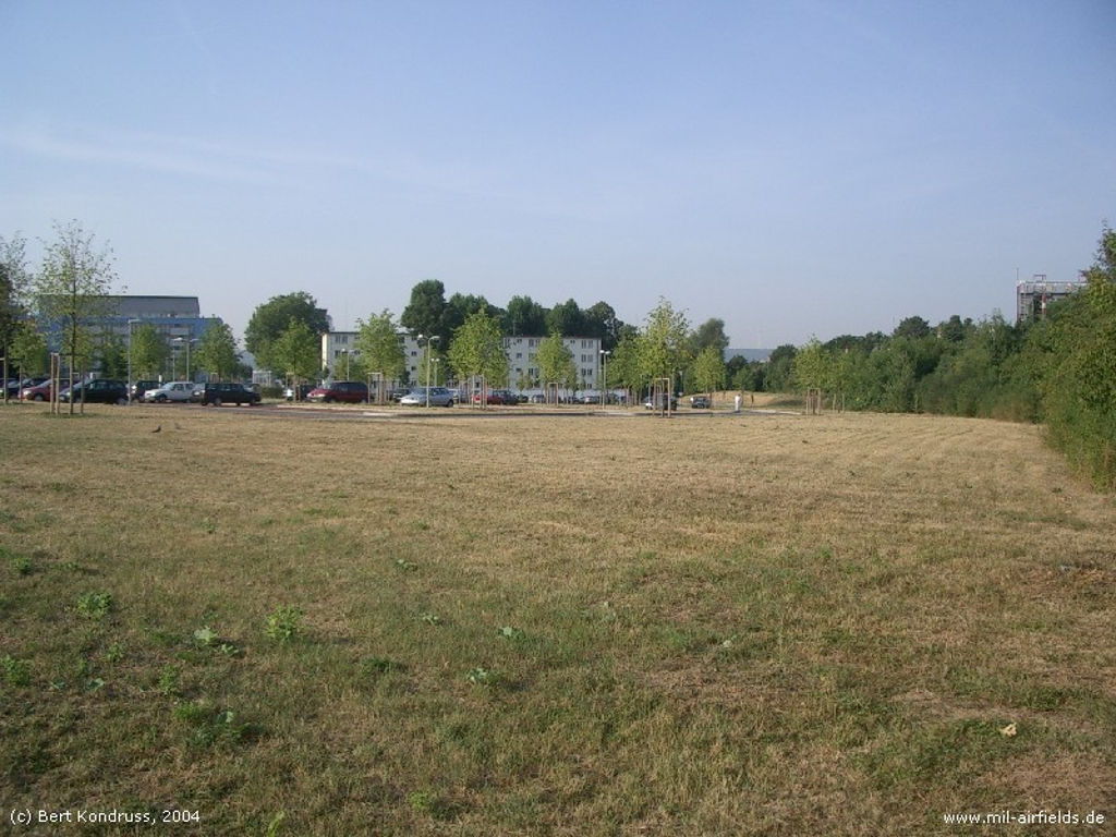
The area
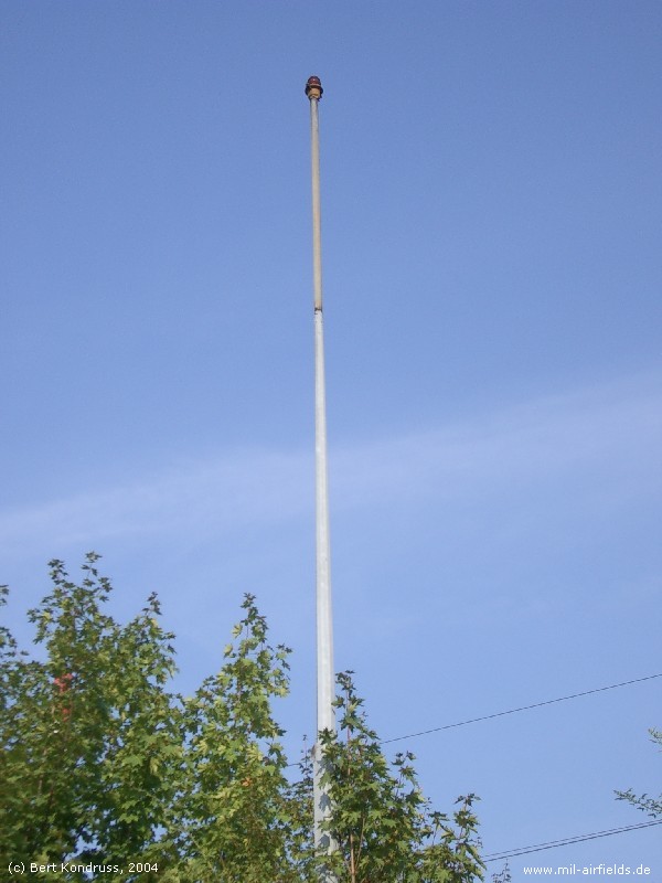
Red obstacle light
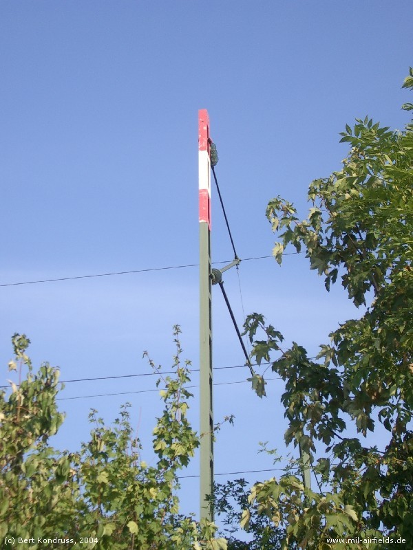
Red-white painted mast
at the nearby railway
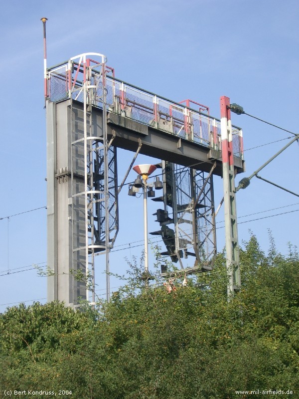
Former wind sock in front of the railway signal bridge?
 Follow mil-airfields on Facebook