For historical information only, do not use for navigation or aviation purposes!
| Coordinates | N485151 E0091329 (WGS84) Google Maps |
| Elevation | 920 ft |
| Federal state | Baden-Württemberg |
| Location indicator | DBLD (195x), EDIR (196x-199x), EDTQ |
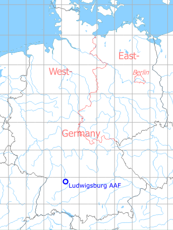
Germany during the Cold War Map
The history of the Cold War airfields: Ludwigsburg
Location of airfield
The airfield is located on the south side of the road between Kornwestheim and Aldingen, just south of Pattonville.
During World War II
Use
Landing ground
During the Cold War
Use
US Army airfield and missile site. During the 1960s a single US Army Cessna aircraft was based. Available for civil traffic since 1960. US Army helicopter stationed until 1979 (moved to Stuttgart: Airport, Army Airfield?), thereafter used for helicopter maintenance until about 1985.
Situation

Map from 1967 with Ludwigsburg Army Airfield - The helipads Ludendorff Kaserne and Flak Kaserne are probably in the wrong place.
Source: US DoD
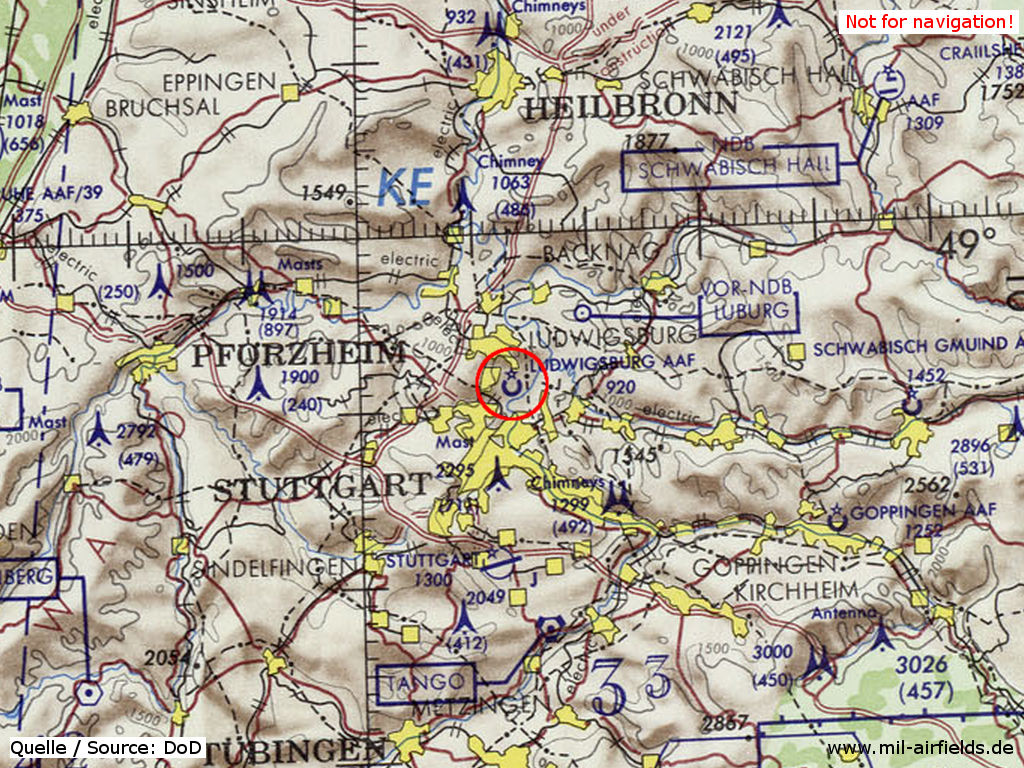
Ludwigsburg Army Airfield (AAF) on a map of the US Department of Defense from 1972
Source: US DoD
Overview
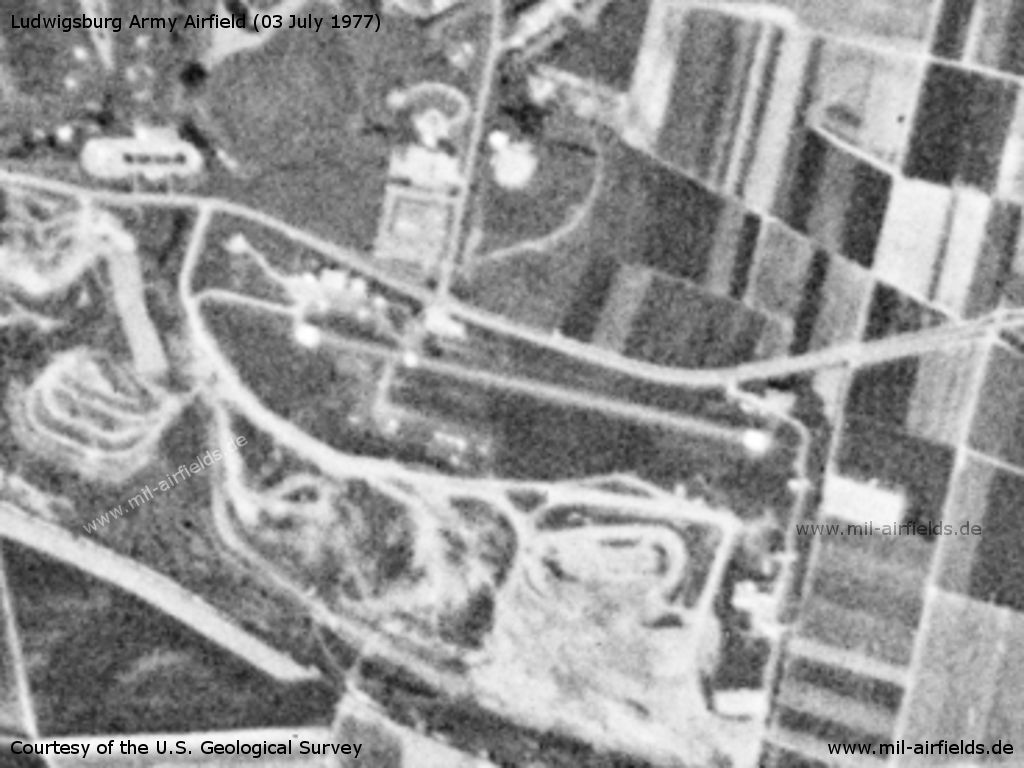
Ludwigsburg Army Airfield AAF on a US satellite image from 03 July 1977
Source: U.S. Geological Survey
Runways
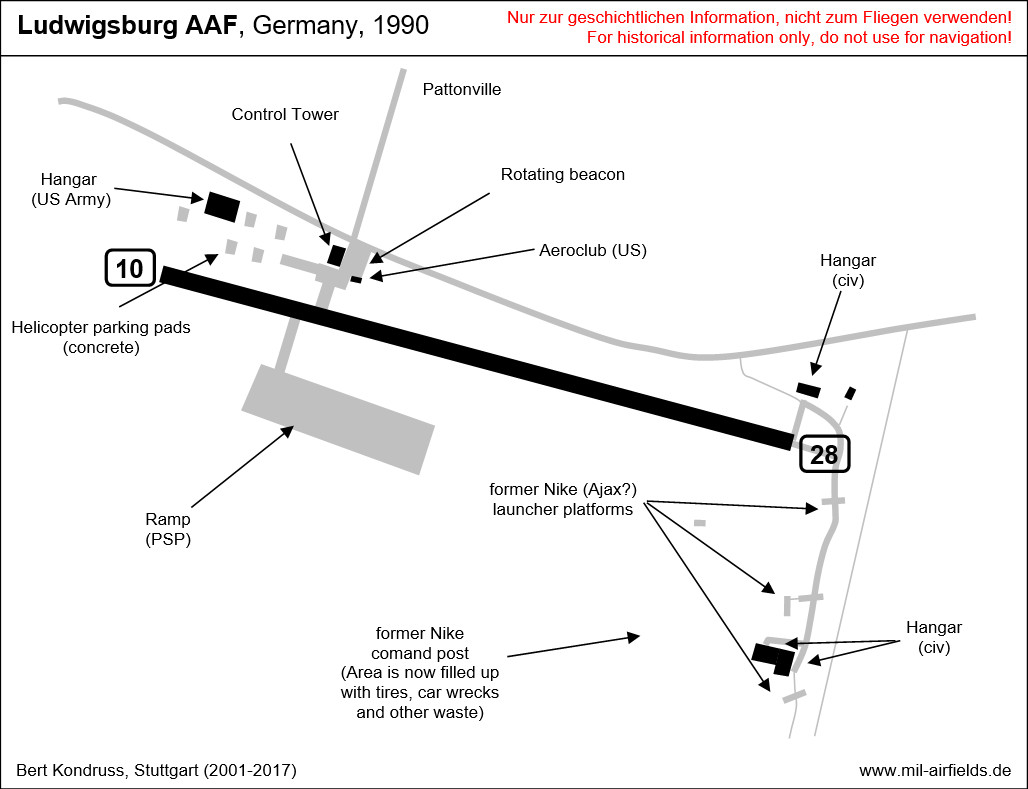
Data for the year 1990:
- 10/28: 671 m x 20 m Asphalt
Installations
Reconstructed by the US 1948/49. Nike (Ajax?) site on east side of airfield from about 1957 until 1960/61 (propably A Battery or HHB of 3rd Bn, 71st Arty) (concrete launcher platforms still exist - one is used today as compensation plate - and power cables can be found in the grass). The airfield and the adjacent training area had 84 ha.
Today
Use
General aviation since 1992.
Images
Images from 2001
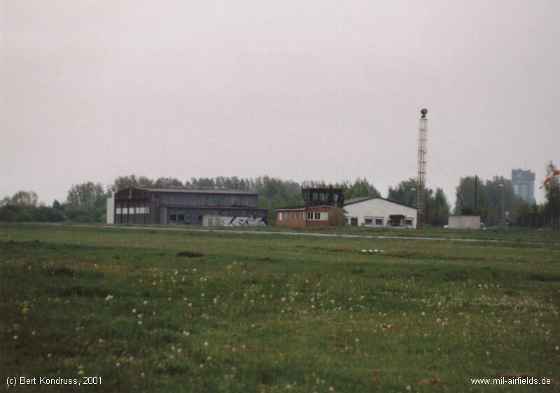
Airfield
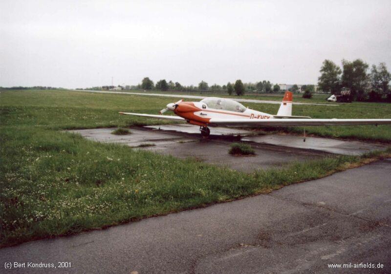
Platform
View from the tower, looking east to the former beacon
Links
- Bing - Aerial picture
Airfields in the vicinity
- 173°/6km Stuttgart: Bad Cannstatt Hospital AHP
- 169°/17km Nellingen: Army Heliport AHP (Nellingen Barracks)
- 181°/19km Stuttgart: Airport, Army Airfield (Echterdingen AAF)
- 248°/24km Malmsheim: Airfield
- 221°/26km Böblingen: Stuttgart-Böblingen Airport, Maintenance Facility (Flugfeld)
- 007°/30km Heilbronn: Army Airfield AAF (Fort Camp Redleg, Waldheide)
Categories
Military Airfields GermanyMilitary Airfields in former West GermanyUS Army Airfields and Heliports in GermanyAirfields in Baden-WürttembergRecommended
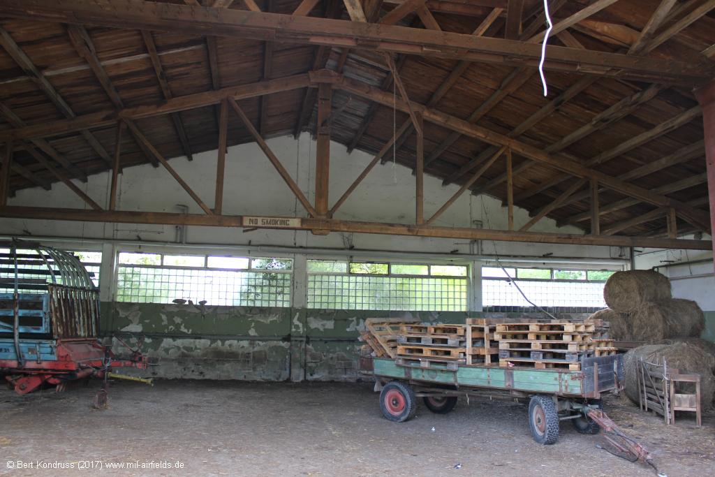
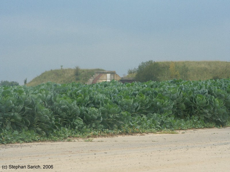
Image credits are shown on the respective target page, click on the preview to open it.
 Follow mil-airfields on Facebook