For historical information only, do not use for navigation or aviation purposes!
| Coordinates | N490748 E0091624 (WGS84) Google Maps |
| Elevation | 1054 ft |
| Location indicator | EDIF |
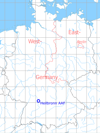
Germany during the Cold War Map
The history of the Cold War airfields: Heilbronn Waldheide Army Airfield
General
The Waldheide near Heilbronn was initially a parade ground, which was also used as an emergency landing site in the 1920s. After World War II, a US Army airfield was built on the site. In later years, the Waldheide was used as a base for Pershing I and Pershing II missiles. In the 1980s, the airfield had been reduced to a helicopter land area. The site gained special attention when a missile went up in flames on 11 January 1985, killing 3 soldiers and injuring several others. At the beginning of the 1990s the US troops left the field and the Waldheide was rewilded.
Location of airfield
4 km east of Heilbronn city center.
During World War II
Use
Emergency landing field
During the Cold War
Use
US Army airfield, later only heliport for the Pershing missile site at this location
Overview
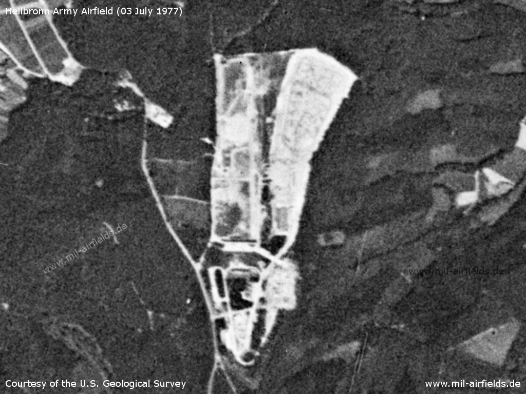
Heilbronn Army Airfield AAF on a US satellite image from 1977
Source: U.S. Geological Survey
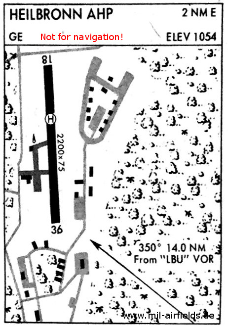
In 1981, the former Army Airfield is only a heliport (AHP = Army Heliport) - The landing area for helicopters is located on runway 18/36. The information 2200 x 75 is length x width, expressed in feet (671 m x 23 m). The structure in the northeast is the missile site.
Runways
Data for the year 1971:
- 18/36: 671 m x 23 m
Today
Use
Closed. Installation completely removed, except for a hangar and small memorial for the victims of the Pershing missile incident in 1985.
Images
Pictures from 2017
Southern Part
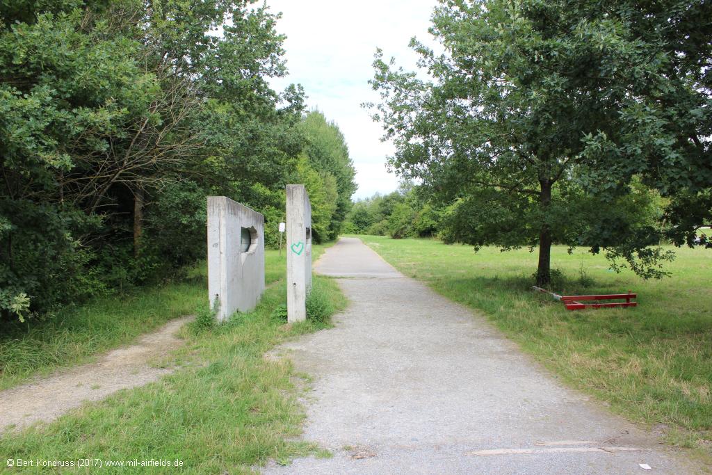
There are two information panels at the southern entrance to the Waldheide.
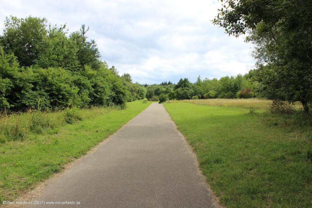
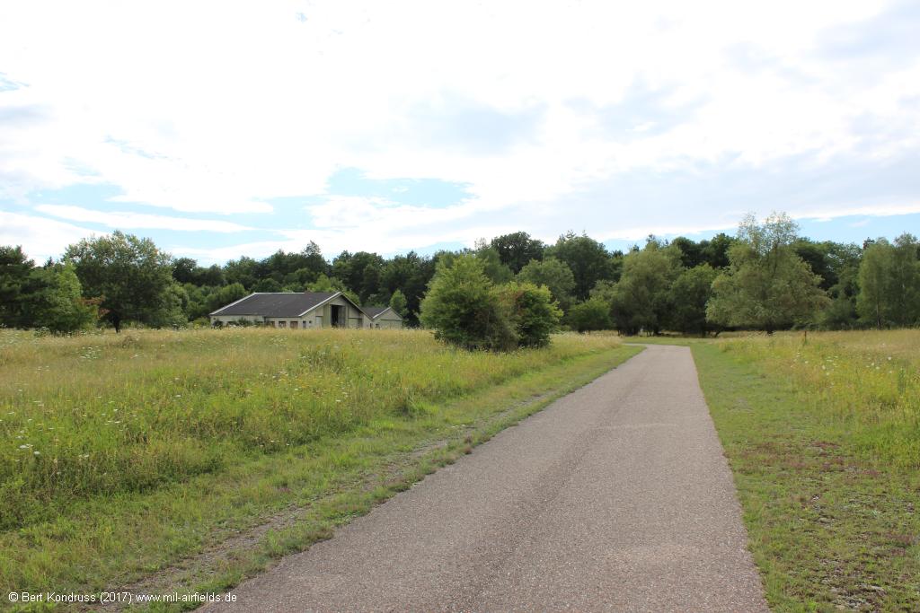
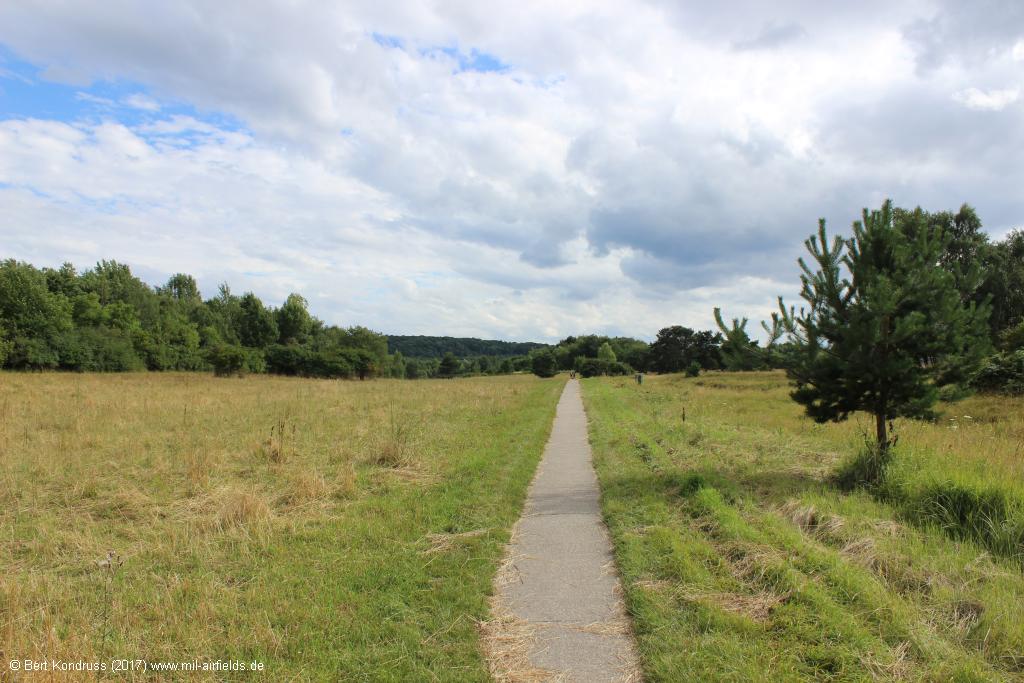
Path in the southern part
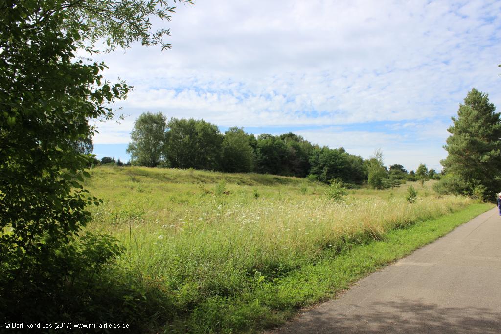
Southern part
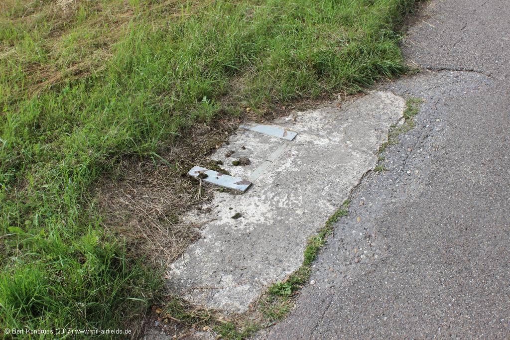
Relics of concrete
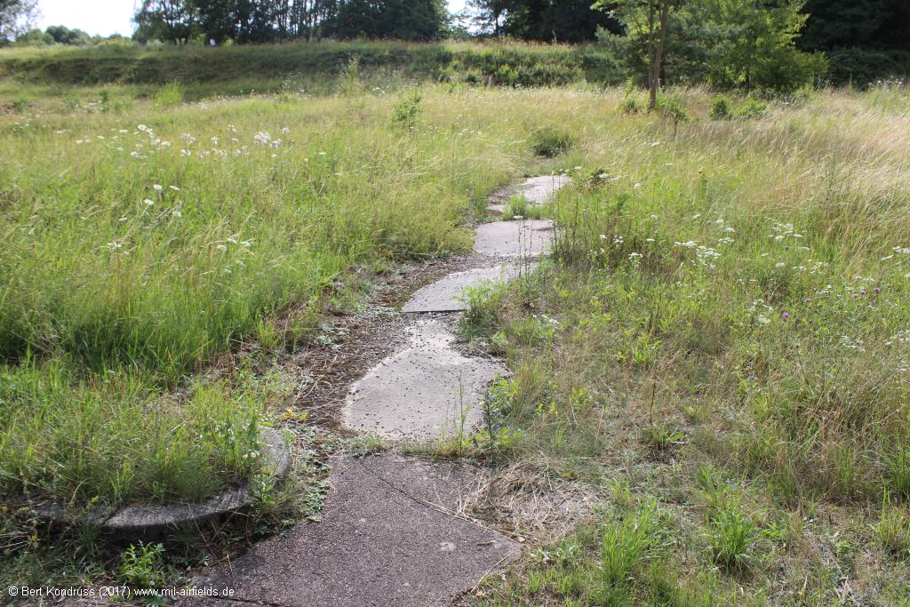
Relics
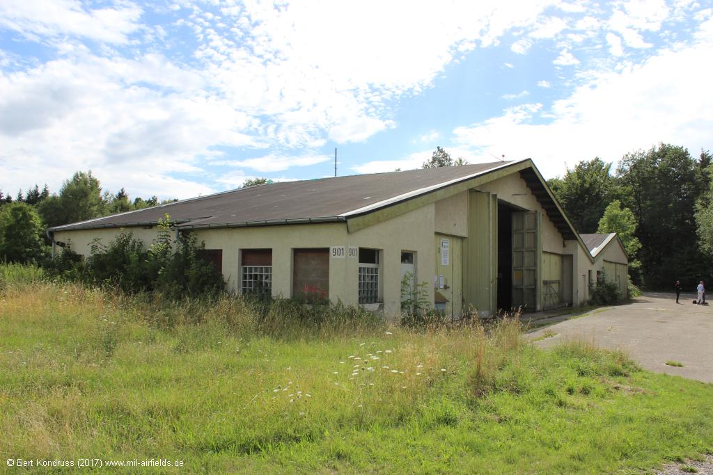
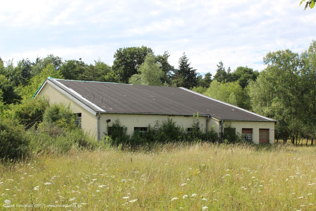
Old aircraft hangar
There is an old aircraft hangar at the western edge of the field. Today it is used for agriculture.
View from the east
View from the east
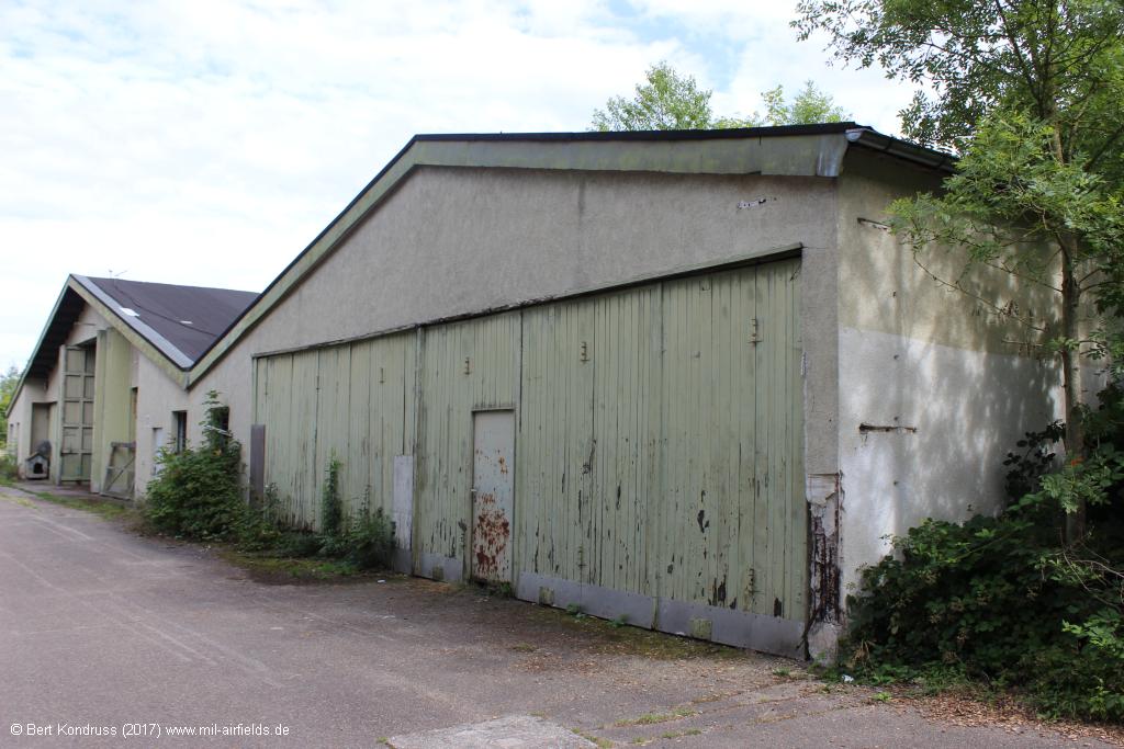
Western part of the building
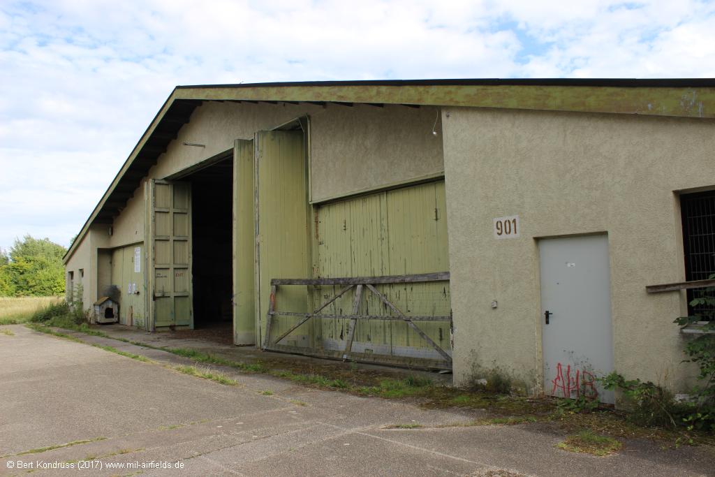
Gate
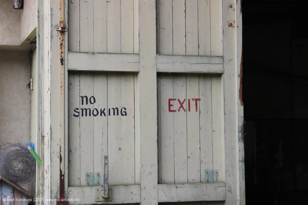
"No smoking" at the gate
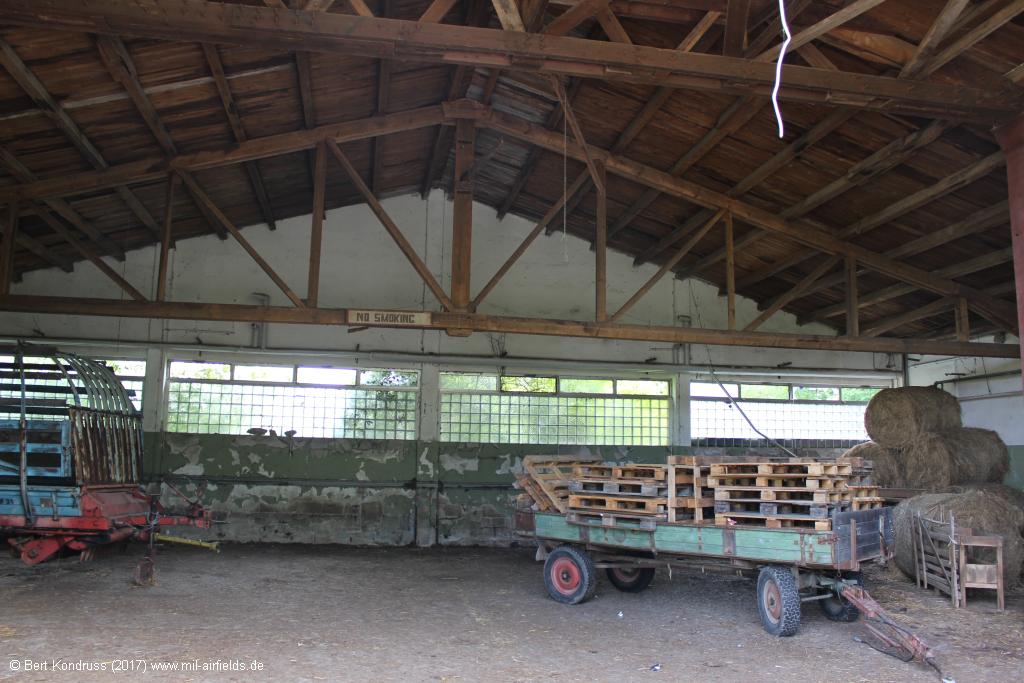
Inside view
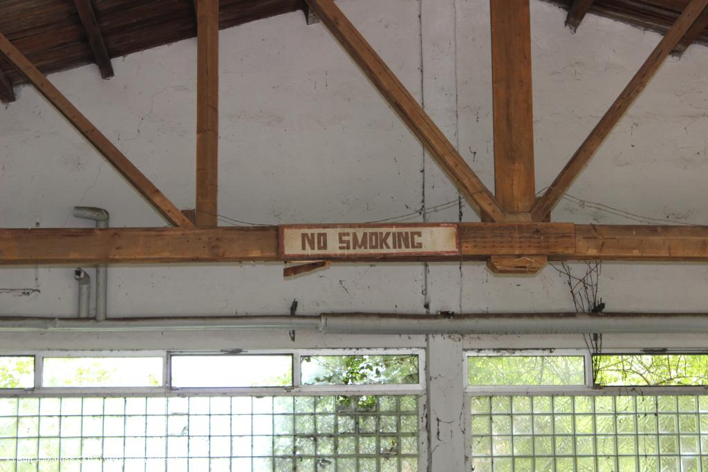
"No smoking"
Rear view
Memorial
On 11 January 1985, a Pershing II missile cought fire at the Waldheide. Three soldiers were killed. A small memorial reminds of it.
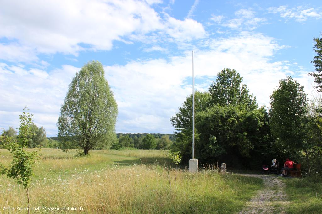
The memorial
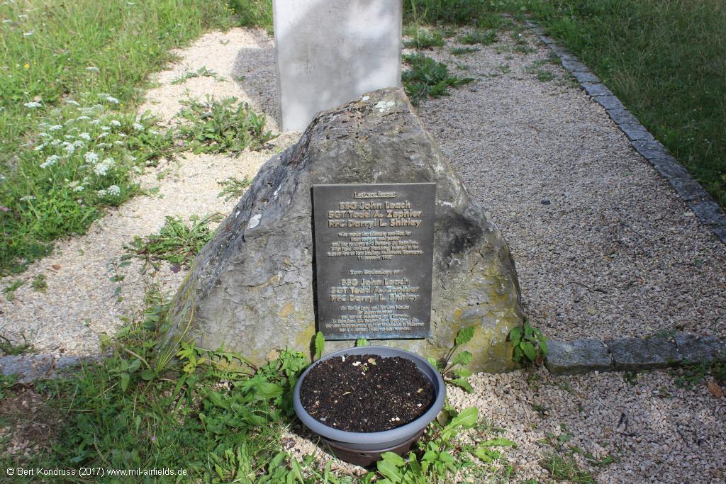
Memorial and flag pole
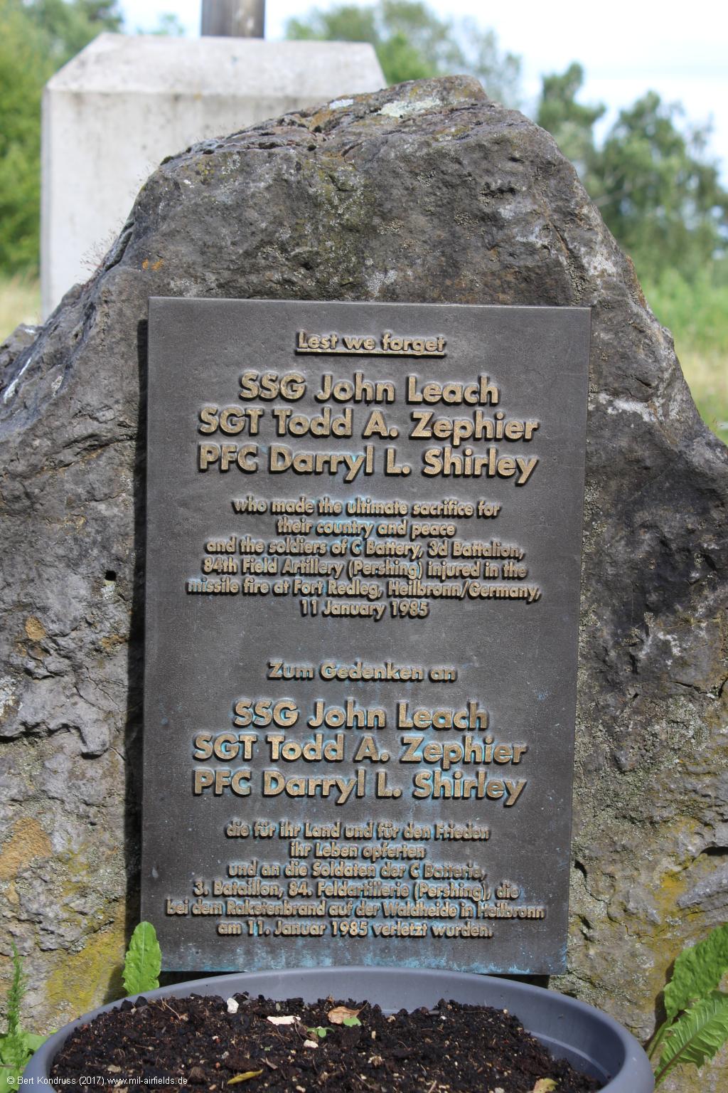
Memorial
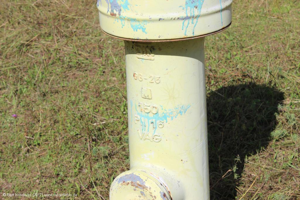
Hydrant
North of the hangar is still this hydrant.
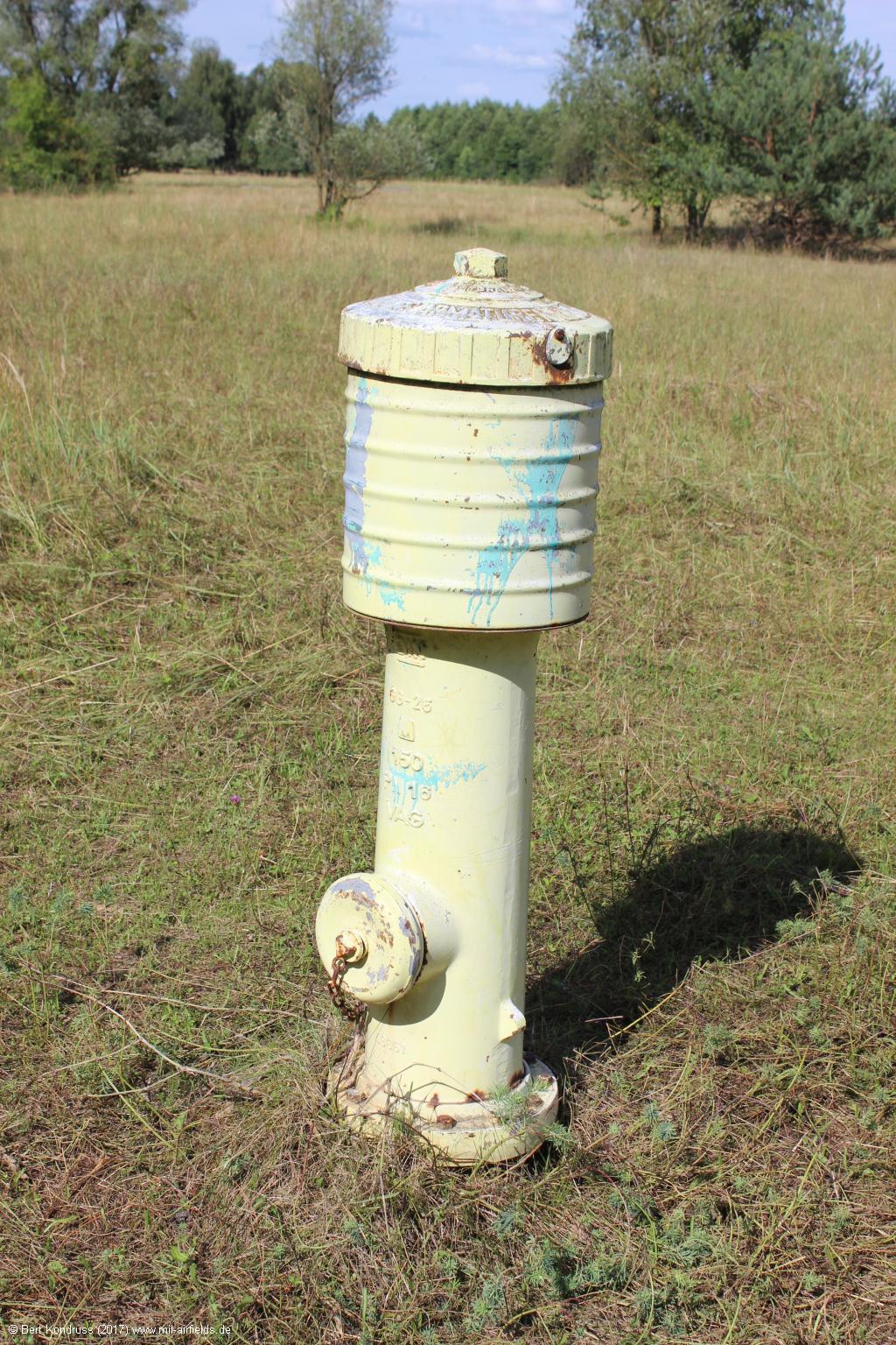
Hydrant on Waldheide, Heilbronn, Germany
Hydrant
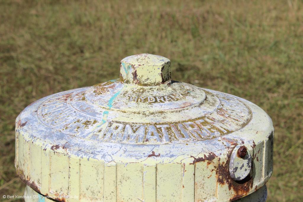
Hydrant
Northern part
Also the northern part has been completely rewilded.
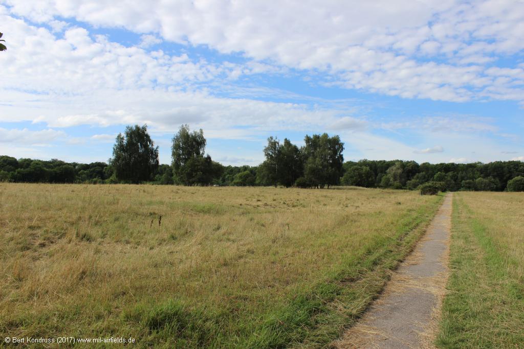
Look to the northern limit
Looking back to the south
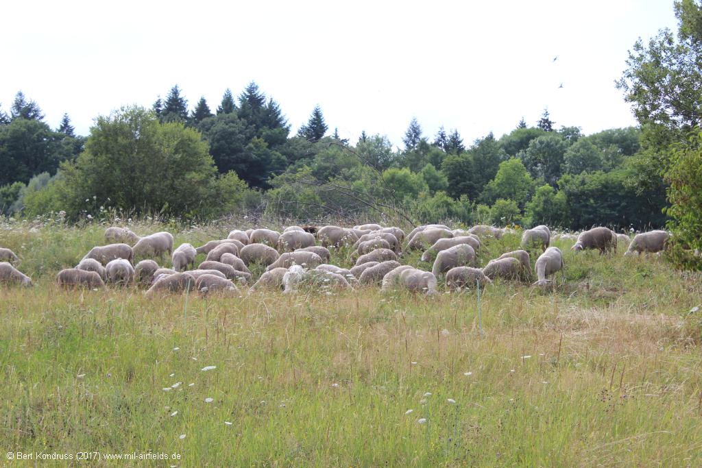
Sheeps on the Heilbronn Waldheide, Germany
Links
- https://de.wikipedia.org/wiki/Waldheide - Waldheide (German language)
- https://stadtarchiv.heilbronn.de/stadtgeschichte/u... - Pershing missile site Heilbronn Waldheide (German language)
I distance myself from what I believe to be unilaterally formulated content and the downplaying of of criminal offences. - https://web.archive.org/web/20140819143349/http://... - Aerial view of the QRA site
Airfields in the vicinity
Categories
Military Airfields GermanyMilitary Airfields in former West GermanyUS Army Airfields and Heliports in GermanyRecommended

Image credits are shown on the respective target page, click on the preview to open it.
 Follow mil-airfields on Facebook