For historical information only, do not use for navigation or aviation purposes!
| Coordinates | N491324 E0073647 (WGS84) Google Maps |
| Elevation | 1362 ft |
| Federal state | Rheinland-Pfalz (Rhineland-Palatinate) |
| Location indicator | EDIV |
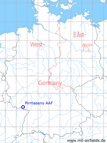
Germany during the Cold War Map
The history of the Cold War airfields: Pirmasens
Location of airfield
2,5 km north-northeast of Pirmasens.
During the Cold War
In the 1970s
Situation
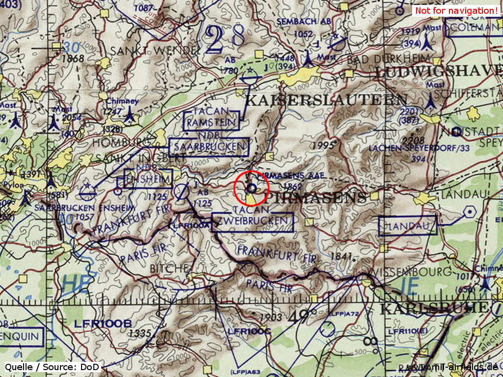
Pirmasens Army Airfield (AAF) on a map of the US Department of Defense from 1972
Source: ONC E-2 (1972), Perry-Castañeda Library Map Collection, University of Texas at Austin
In the 1980s and early 1990s
Runways
Data for the year 1990:
- 01/19: 675 m x 18 m Asphalt
Units
1990: 22nd Avn Det (7th USAR) (10 UH-1H)
Today
Use
Closed.
Overview
Source: Datenquelle: © GeoBasis-DE / LVermGeoRP (2019), http://www.lvermgeo.rlp.de, Datenlizenz Deutschland – Namensnennung – Version 2.0 https://www.govdata.de/dl-de/by-2-0. Es gelten folgende Regelungen zu Gewährleistung und Haftung: https://lvermgeo.rlp.de/de/geodaten/opendata/gewaehrleistung-haftung/
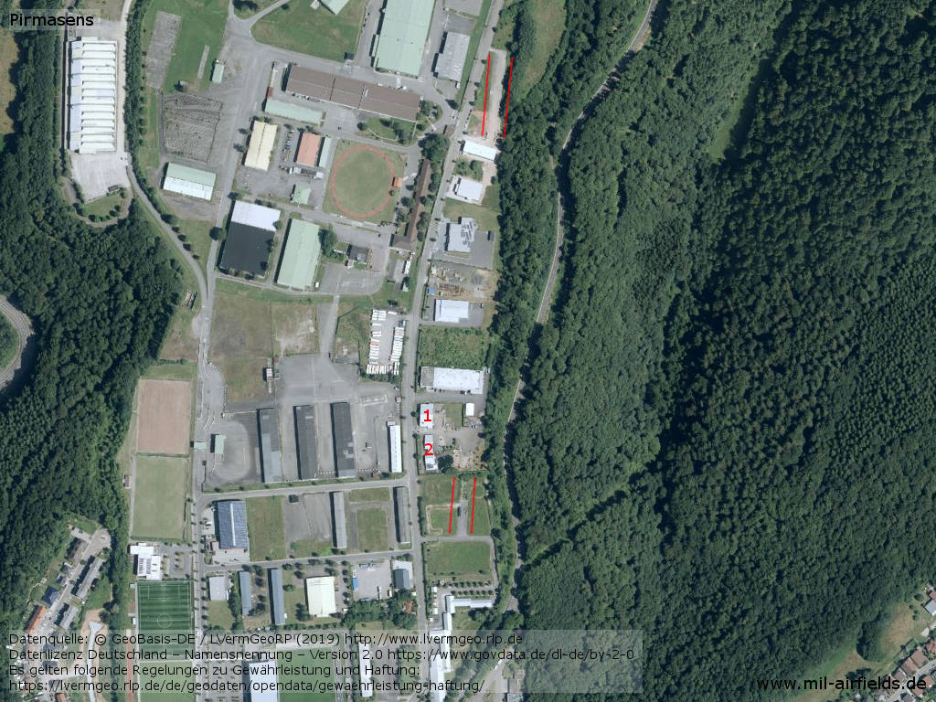
Aerial image - Parts of the runway are preserved - between the red lines; 1, 2: former aircraft or helicopter hangars
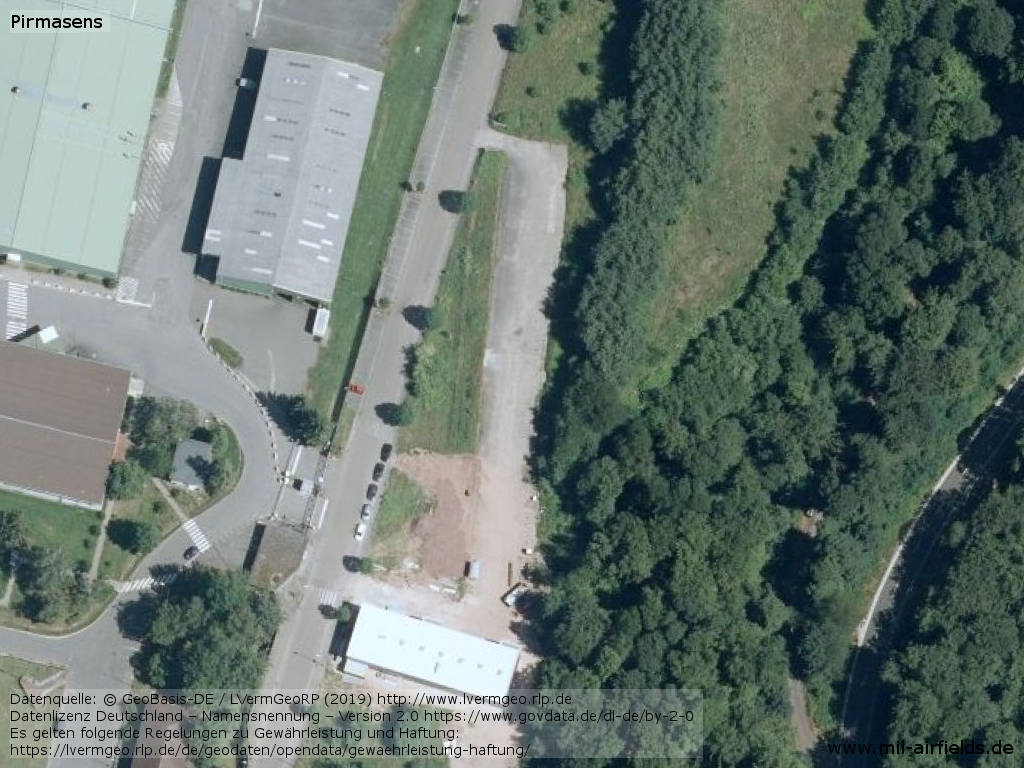
Northern end of the former runway
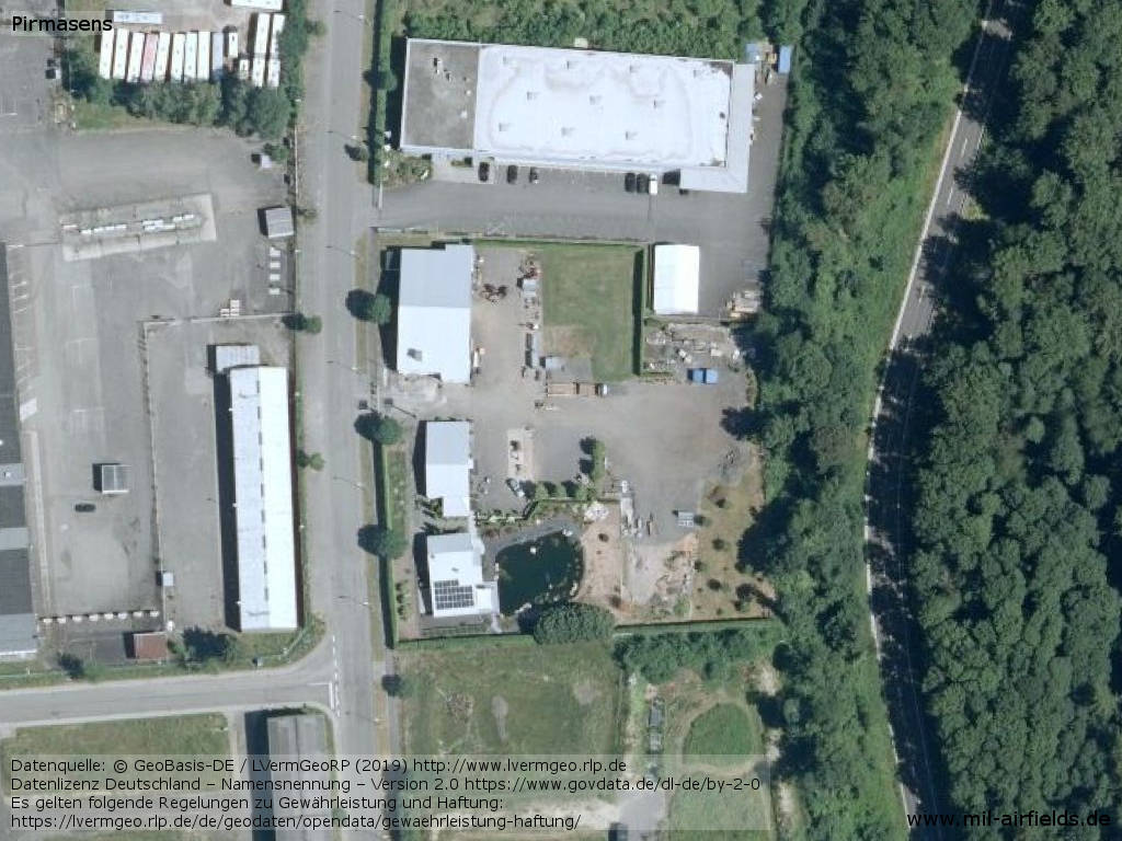
Former ramp and preserved hangars
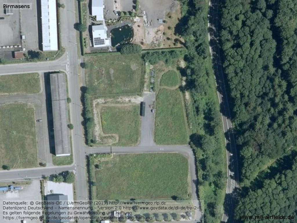
Southern end of the former runway
Sources
- http://www.lvermgeo.rlp.de - Geoportal Rheinland-Pfalz
Airfields in the vicinity
- 264°/16km Zweibrücken: Air Base
- 344°/21km Landstuhl: US Army Heliport AHP (Landstuhl Army Heliport AHP)
- 358°/24km Ramstein: Air Base (Landstuhl Air Base, Landstuhl-Ramstein)
- 314°/25km Miesau: West AHP
Categories
Military Airfields GermanyMilitary Airfields in former West GermanyUS Army Airfields and Heliports in GermanyRecommended
Image credits are shown on the respective target page, click on the preview to open it.
 Follow mil-airfields on Facebook