Miesau: West AHP
For historical information only, do not use for navigation or aviation purposes!
| Coordinates | N492237 E0072209 ? (WGS84) Google Maps |
| Elevation | 780 ft |
| Location indicator | EDEI |
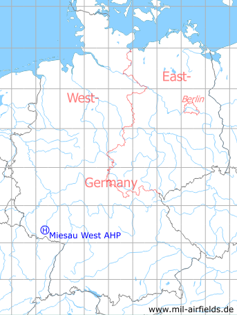
Germany during the Cold War Map
The history of the Cold War airfields: Miesau
Location of airfield
Exact location unclear. The helipad was probably located north of Autobahn intersection Waldmohr.
Usage during the Cold War
US Army heliport, probably until the early 1980s.
Use today
Closed.
 Follow mil-airfields on Facebook