For historical information only, do not use for navigation or aviation purposes!
| Coordinates | N521911 E0085119 (WGS84) Google Maps |
| Federal state | Nordrhein-Westfalen (North Rhine-Westphalia) |
Germany during the Cold War
The history of the Cold War airfields: Minden
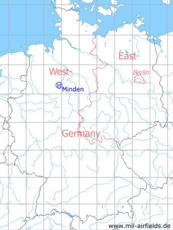
Location of airfield
Minderheide, 3 km northwest of Minden.
During World War II
Use
Airfield.
Situation
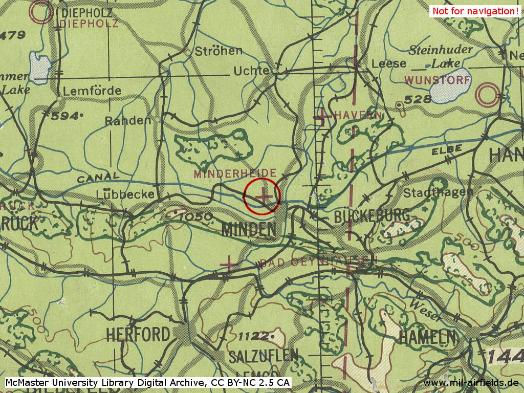
Minderheide Airfield in World War II on a US map from 1943
Source: McMaster University Library Digital Archive, License: Creative Commons Attribution-NonCommercial 2.5 CC BY-NC 2.5 CA
Overview
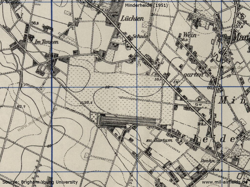
The area of Minderheide on a US map from 1951
Source: AMS M841 GSGS 4414, Courtesy Harold B. Lee Library, Brigham Young University
During the Cold War
Use
Helicopter base of the BAOR / Army Air Corps (AAC).
Situation
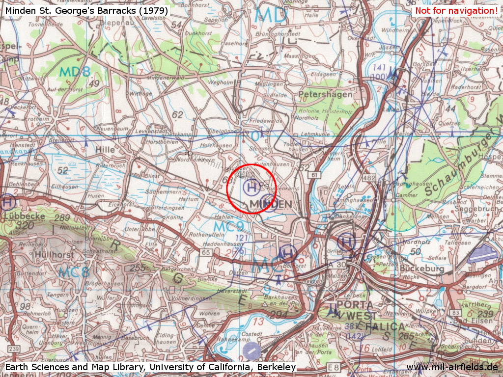
Minden Heliport on a US map from 1979 - Directly to the southeast, the helipad of the Kingsley Barracks is marked.
Source: Earth Sciences and Map Library, University of California, Berkeley
Overview
The aerial photos were taken between 1988 and 1994. The barracks have already been cleared.
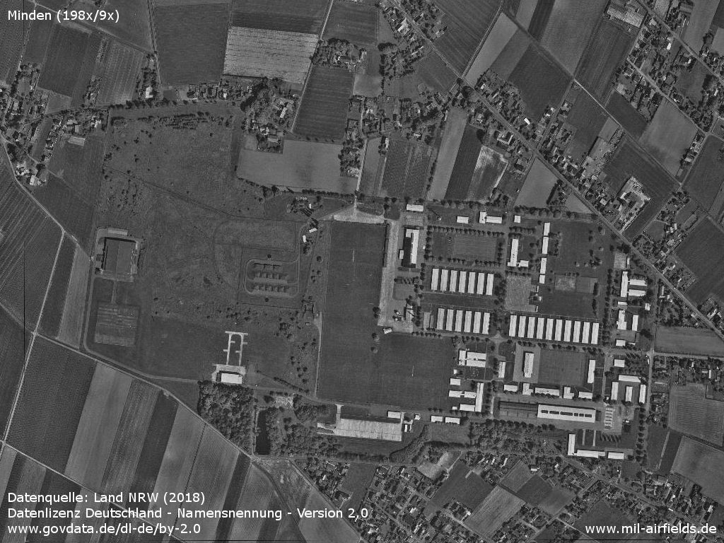
Overview St. George's Barracks
Source: Datenquelle: Land NRW (2018)
Datenlizenz Deutschland - Namensnennung - Version 2.0
www.govdata.de/dl-de/by-2.0
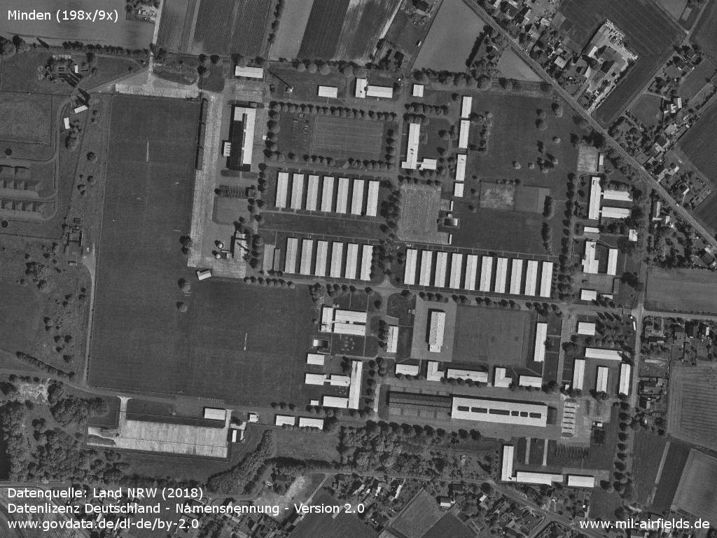
Eastern part of the barracks
Source: Datenquelle: Land NRW (2018)
Datenlizenz Deutschland - Namensnennung - Version 2.0
www.govdata.de/dl-de/by-2.0
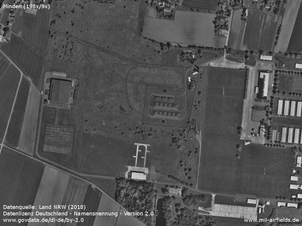
Western part with ammunition dump and heliport
Source: Datenquelle: Land NRW (2018)
Datenlizenz Deutschland - Namensnennung - Version 2.0
www.govdata.de/dl-de/by-2.0
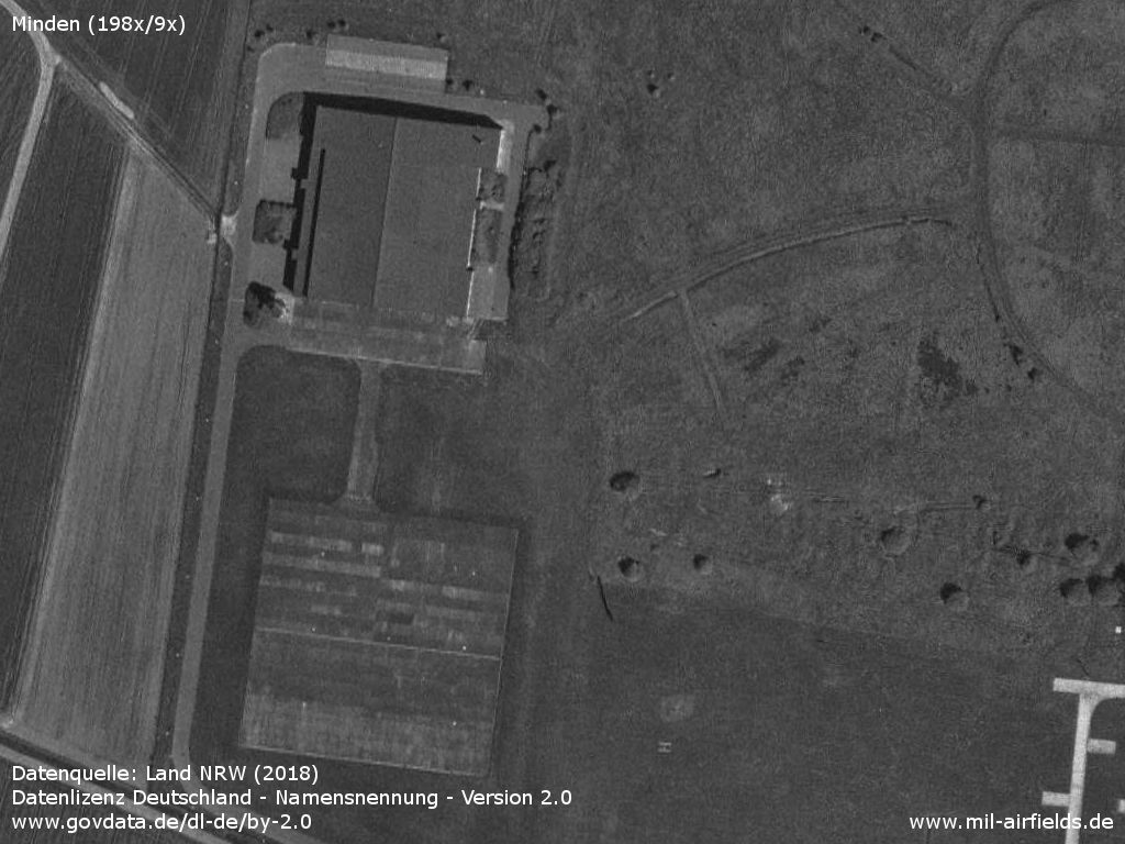
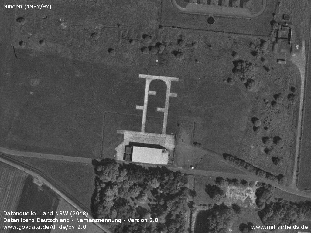
Helicopter hangar and ramp - To the east of the parking area an H marks the landing site.
Source: Datenquelle: Land NRW (2018)
Datenlizenz Deutschland - Namensnennung - Version 2.0
www.govdata.de/dl-de/by-2.0
Installation
Source: Datenquelle: Land NRW (2018)
Datenlizenz Deutschland - Namensnennung - Version 2.0
www.govdata.de/dl-de/by-2.0
Units
1990: 664 Sq (Gazelle AH 1)
Today
Use
Closed.
Images
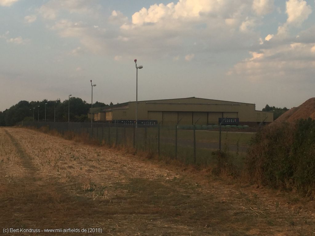
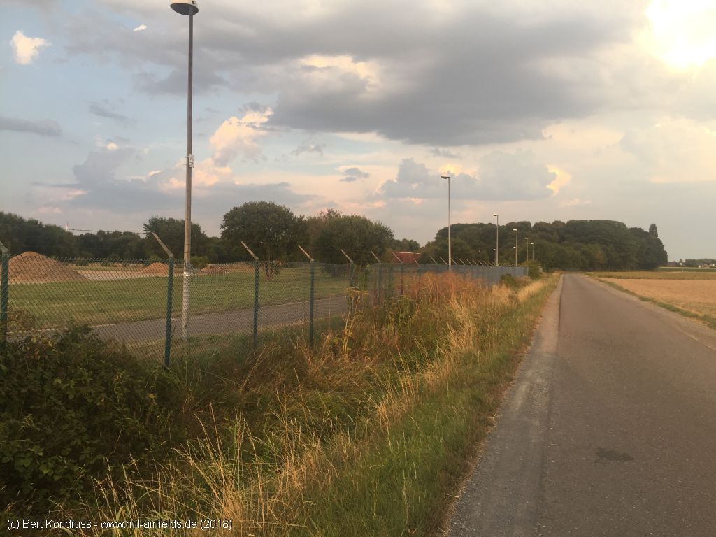
The following pictures were taken in August 2018.
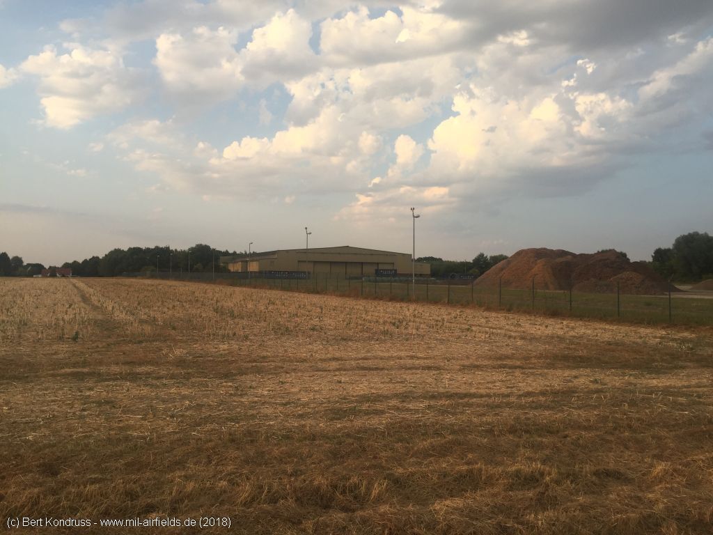
Heliport at the southwestern end of the barracks - Looking approximately northeast
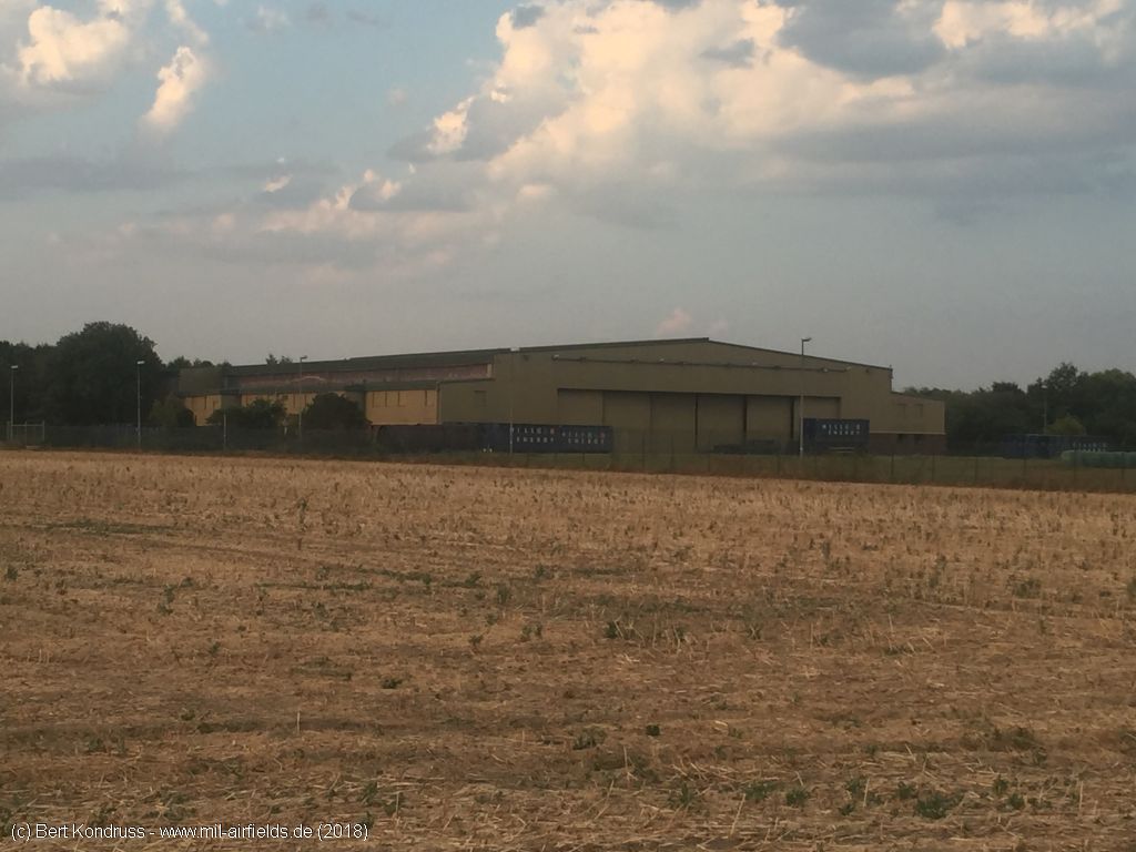
Hangar
Fence and lamps at the western edge
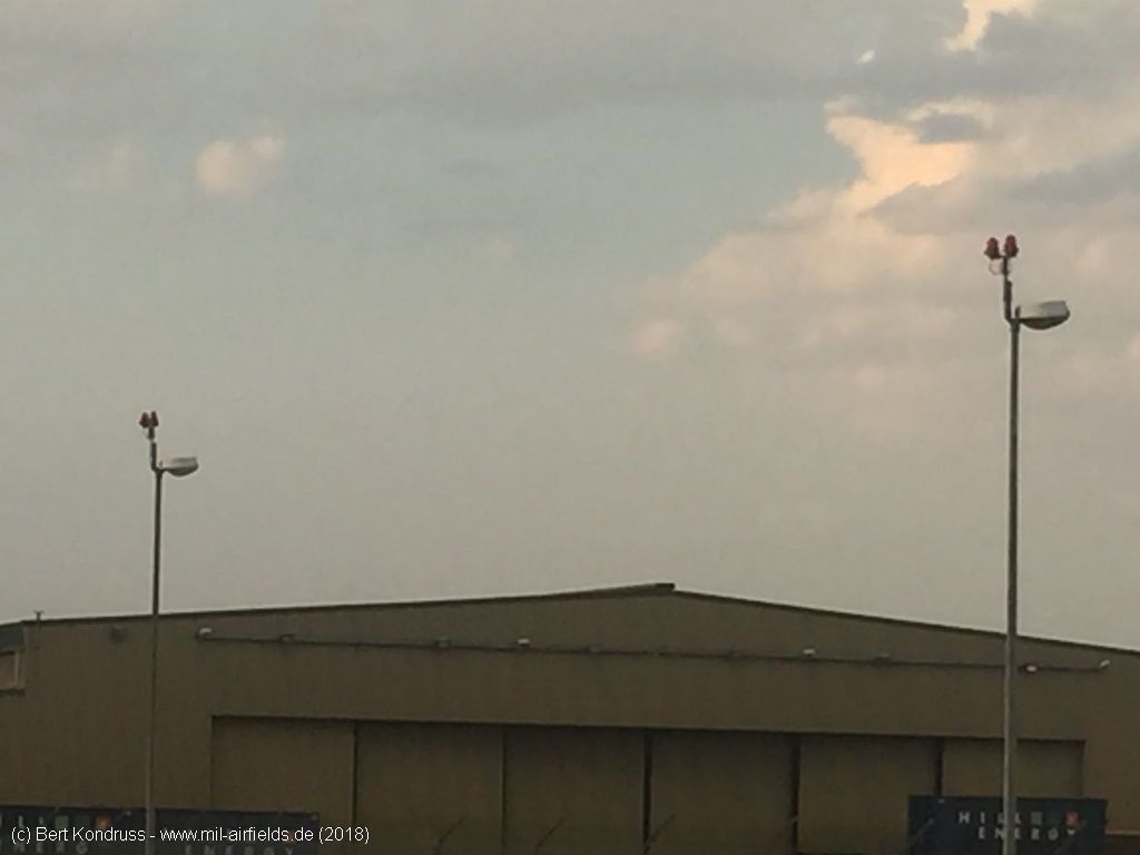
These lamps carry obstruction lights
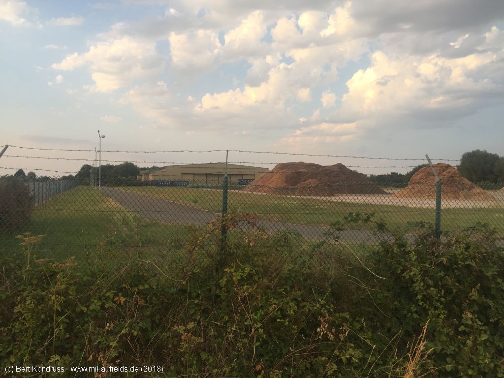
Viewing direction approximately north - In front of the helicopter hangar is the former apron, which is now partly covered with heaps of earth.
Southern edge of the area
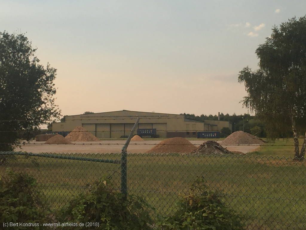
Hangar from the south
Airfields in the vicinity
- 107°/16km Bückeburg: Airbase (RAF Bückeburg)
- 068°/42km Wunstorf: Air Base (Kleinheidorn)
- 175°/42km Detmold: Airfield (Hobart Barracks)
- 310°/46km Diepholz: Airfield
Recommended
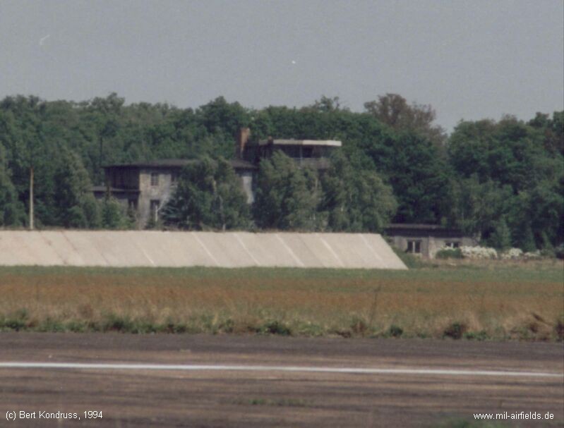
Image credits are shown on the respective target page, click on the preview to open it.
 Follow mil-airfields on Facebook