Zweibrücken: Air Base
For historical information only, do not use for navigation or aviation purposes!
| Coordinates | N491234 E0072402 (WGS84) Google Maps |
| Elevation | 1133 ft |
| Location indicator | EDAM (1990), EDRZ (2000) |
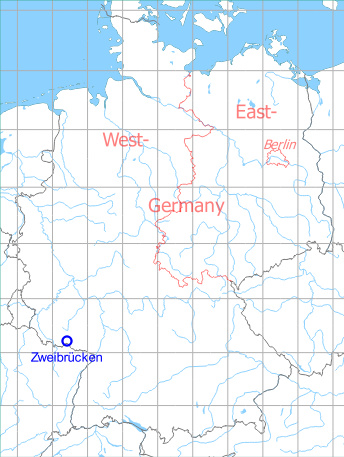
Germany during the Cold War Map
The history of the Cold War airfields: Zweibrücken
Location
Federal State of Rheinland-Pfalz (Rhineland-Palatinate).
During the Cold War
Use
Canadian Forces air base, later US Air Force.
Situation
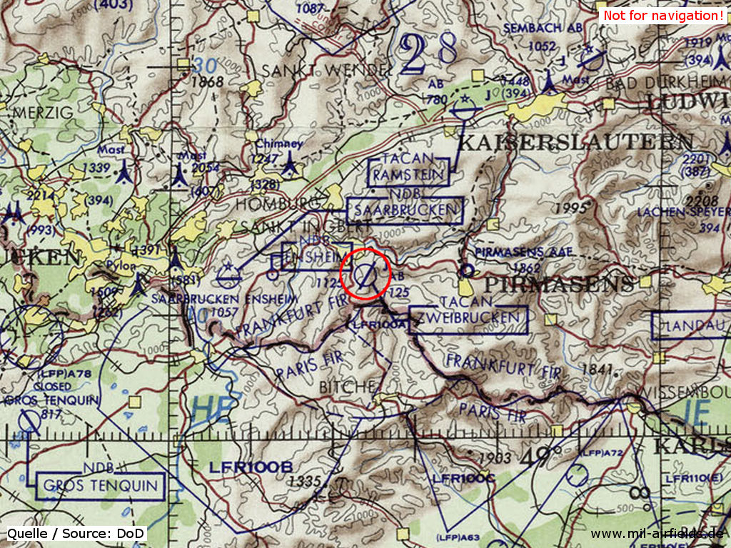
Zweibrücken Air Base on a map of the US Department of Defense from 1972
Source: ONC E-2 (1972), Perry-Castañeda Library Map Collection, University of Texas at Austin
Runways
- 03/21: 2400 m x 45 m Asphalt
Radio beacons
- TACAN: CH48 "ZBU", am Platz
- ILS03: 117.1 "IZBU"
Telephone
DSN 498-2xxx
Units
1971: 17th TRS (86th TFW) RF-4C; 81st TFS (86th TFW) F-4C
1975: 26th TRW RF-4C
1980: 26th TRW RF-4C
1985: 26th TRW RF-4C
1990: 10th MAS (608th MAG) C-23A; 26th TRW RF-4C
Images
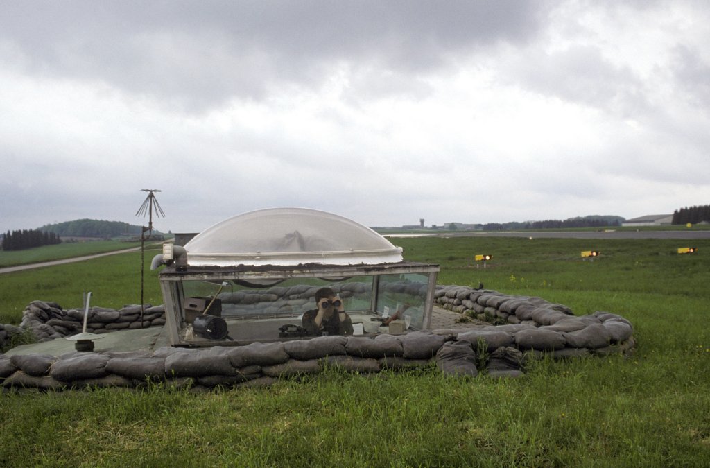
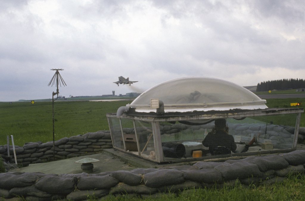
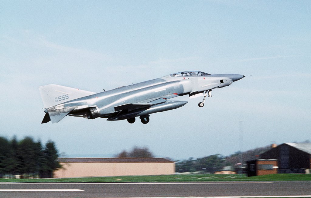
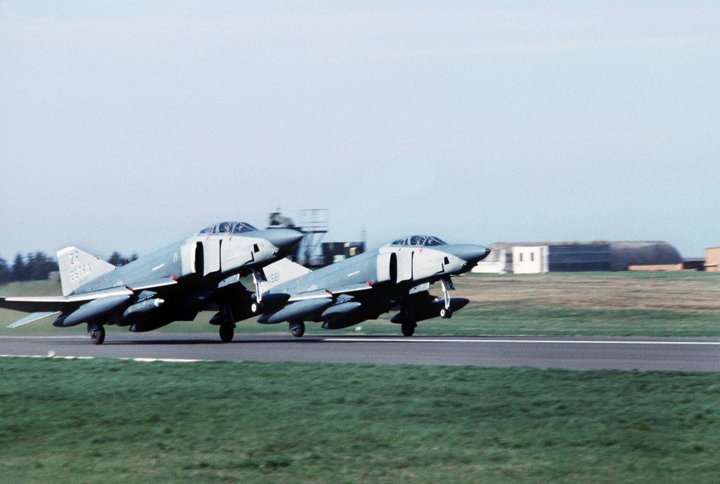
Pictures from the exercise SALTY BEE
15MAY1984, Source: Department of Defense, photographer TSGT JOSE LOPEZ JR.
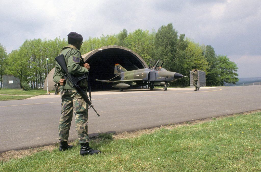
RF-4C
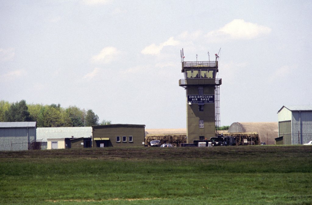
Control tower
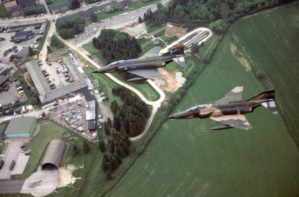
2 RF-4C over the northeastern part of the airbase
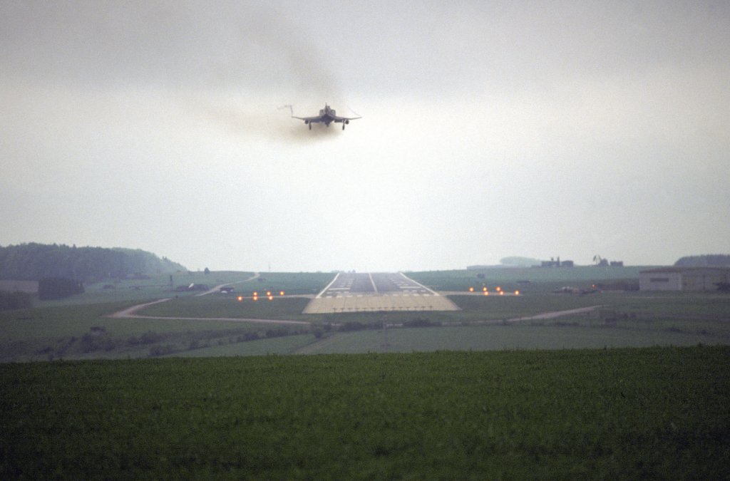
RF-4C Phantom II short before landing on runway 21. Visible are the TACAN (left) and the localizer for the ILS03.
Take-off and landing post
Pictures from the departure of the last 3 RF-4C
12APR1991, Source: Department of Defense, photographer SGT GONZALEZ
The last RF-4C are leaving the base.
Today
Use
Regional airport.
Links
- http://en.wikipedia.org/wiki/Zweibr%C3%BCcken_Air_... - Zweibrucken Air Base
Airfields in the vicinity
- 084°/16km Pirmasens: US Army Airfield AAF (Husterhöhe)
- 353°/19km Miesau: West AHP
Categories
Military Airfields GermanyMilitary Airfields in former West GermanyAirfields of the Canadian ForcesAir Bases of the United States Air Force (USAF) in GermanyRecommended
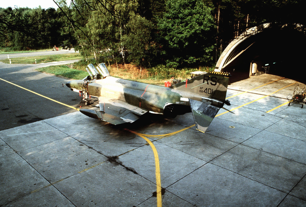
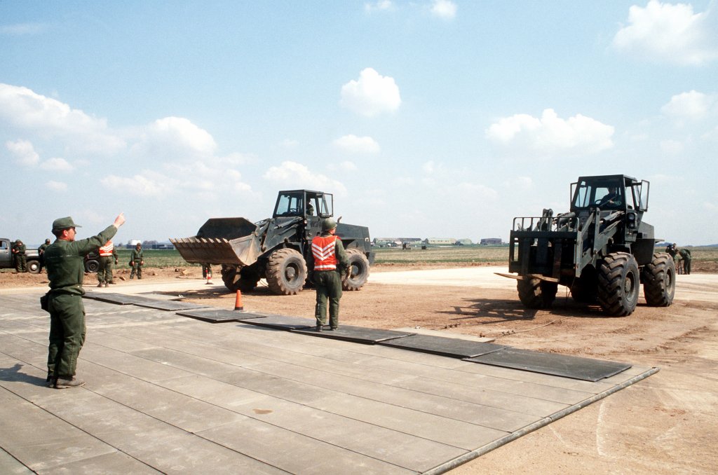

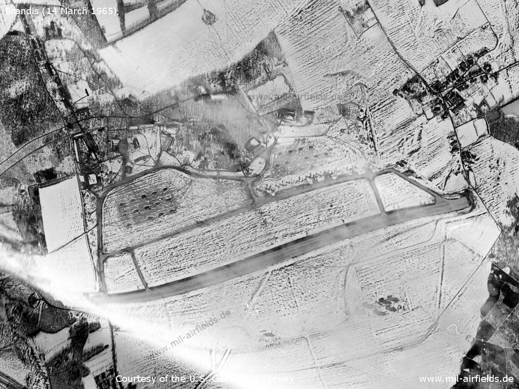
Image credits are shown on the respective target page, click on the preview to open it.
 Follow mil-airfields on Facebook