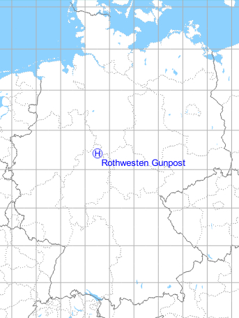
Rothwesten: Gunpost Army Heliport
For historical information only, do not use for navigation or aviation purposes!
| Coordinates | N512459 E0093027 ca. (WGS84) Google Maps (approximate location) |
| Elevation | 1018 ft |
| Federal state | Hessen (Hesse) |
The history of the Cold War airfields: Rothwesten
Location
Federal State of Hessen (Hesse).
The "Gunpost" radar site was located about 3 km north-northwest of Rothwesten, today belonging to the community of Immenhausen.
Location of airfield
According to documents from the 1960/70s, the heliport was located east of the radar site. The exact location is unknown.
Usage during the Cold War
US Army helipad at "Gunpost" radar and direction finding site.
Use today
Closed.
Radio communication
116.1 (1948)
Direction finder for aircraft in the southern corridor to Berlin: 120.5, 121.5 (1958).
Heliport: FM 33.7 on request (1968).
Airspace and procedures
Approach and departure directions at pilot's discretions. Traffic pattern east.
Obstacles
Antennas 150 ft west. Vehicles and personnel near the landing area (1971).
Airfields in the vicinity
- 147°/4km Rothwesten: Airfield
- 205°/37km Fritzlar: Airfield
 Follow mil-airfields on Facebook