For historical information only, do not use for navigation or aviation purposes!
| Coordinates | N513440 E0081248 (WGS84) Google Maps |
| Elevation | 410 ft |
| Federal state | Nordrhein-Westfalen (North Rhine-Westphalia) |
| Location indicator | EDUS (1990), EDLZ (2000) |
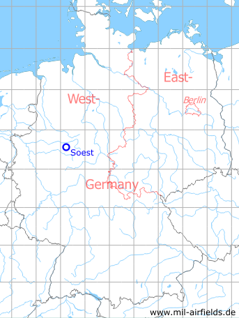
Germany during the Cold War Map
The history of the Cold War airfields: Soest
Location of airfield
East of Soest.
During the Cold War
Usage during the Cold War
Canadian Forces landing ground (Fort Chambly); from the early 1970s BAOR helicopter base (Salamanca).
In the 1980s and early 1990s
Units
653 Sq, 662 Sq, 663 Sq: Gazelle AH1, Lynx AH1 (1990)
Images
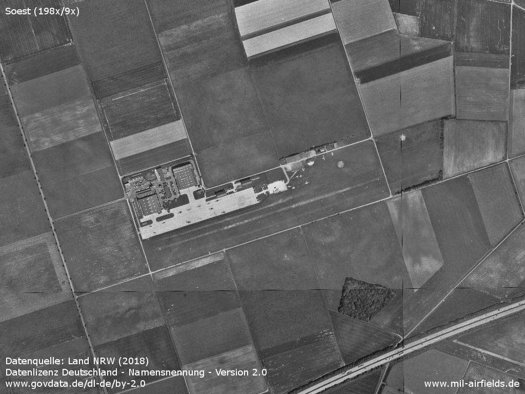
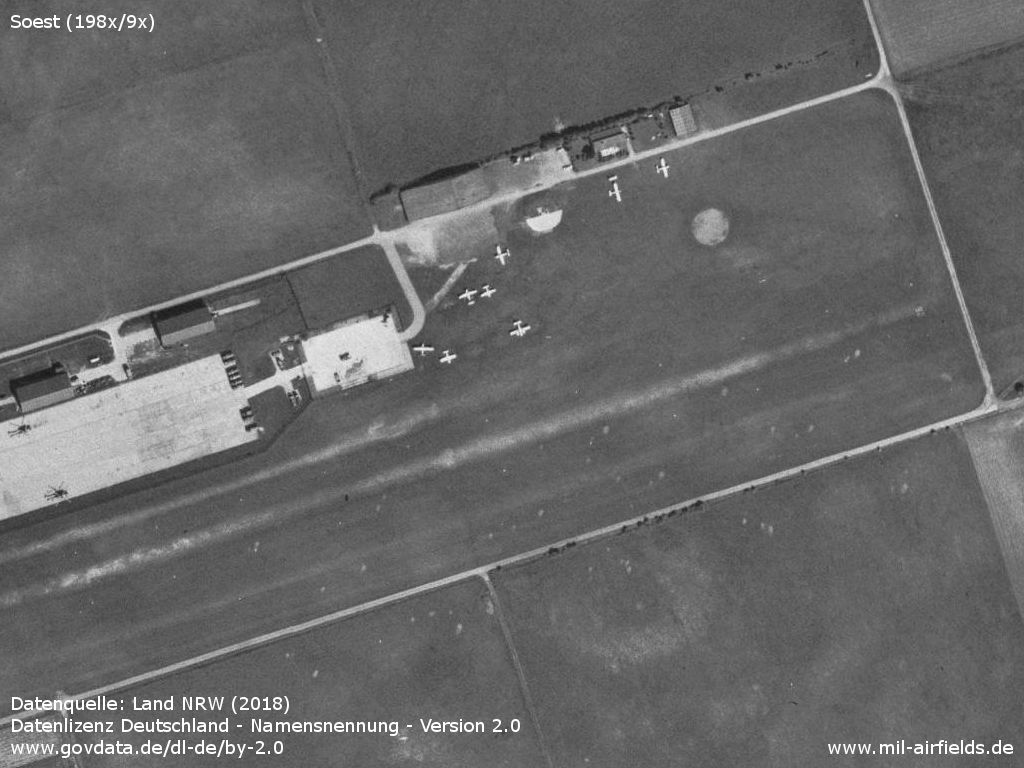
Overview
Source: Datenquelle: Land NRW (2018)
Datenlizenz Deutschland - Namensnennung - Version 2.0
www.govdata.de/dl-de/by-2.0
Source: Datenquelle: Land NRW (2018)
Datenlizenz Deutschland - Namensnennung - Version 2.0
www.govdata.de/dl-de/by-2.0
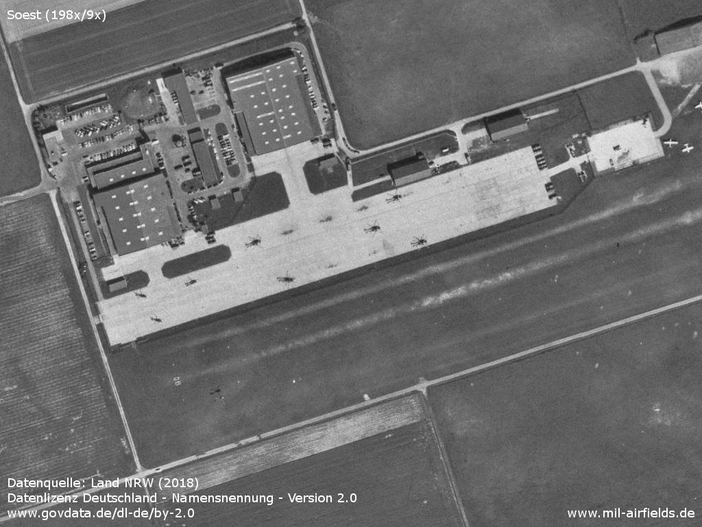
Western part with Army Air Corps helicopters and hangars
Source: Datenquelle: Land NRW (2018)
Datenlizenz Deutschland - Namensnennung - Version 2.0
www.govdata.de/dl-de/by-2.0
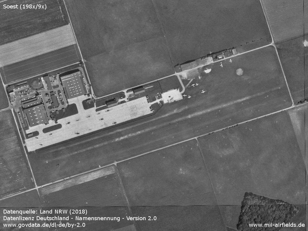
Eastern part with civilian use
Source: Datenquelle: Land NRW (2018)
Datenlizenz Deutschland - Namensnennung - Version 2.0
www.govdata.de/dl-de/by-2.0
Today
Use
General aviation.
Links
- http://www.flugplatz-soest.de/ - Flugplatz Soest
Airfields in the vicinity
- 269°/21km Werl: Airfeld
- 085°/23km Brenker Mark: Highway Strip (Autobahn-Notlandeplatz NLP)
- 009°/39km Gütersloh: Air Base (RAF Gutersloh)
 Follow mil-airfields on Facebook