For historical information only, do not use for navigation or aviation purposes!
| Coordinates | N533216 E0112428 (WGS84) Google Maps |
| Elevation | 177 ft |
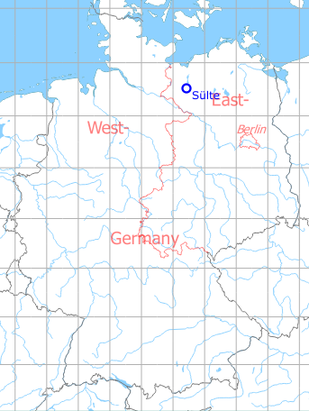
Germany during the Cold War Map
The history of the Cold War airfields: Sülte
General
About 10 km south of Schwerin there was a reserve airfield of the Soviet armed forces in the area of Sülte / Boldela / Buchholz in the GDR. It had a 3 km runway with a grass surface and was prepared for the use of radio beacons. There is no information about the use of this field. Today the airfield is closed.
During the Cold War
Use
Soviet reserve airfield.
Situation
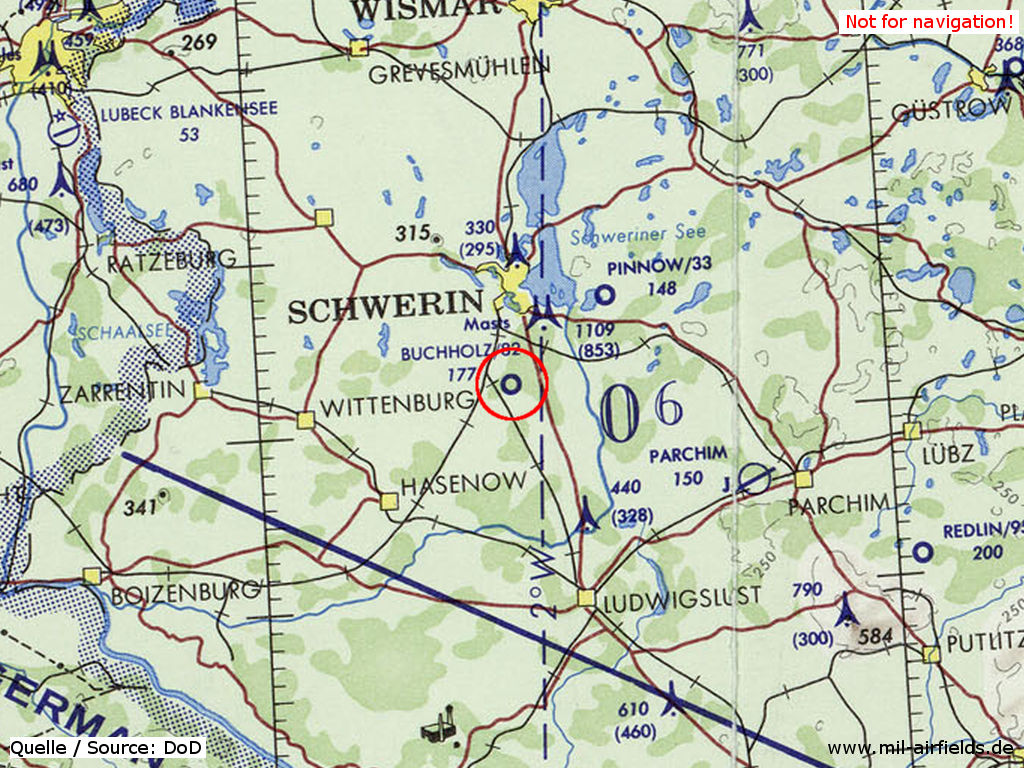
Sülte Airfield on a map of the US Department of Defense from 1972
Source: ONC E-2 (1972), Perry-Castañeda Library Map Collection, University of Texas at Austin /PCL MC/
Overview
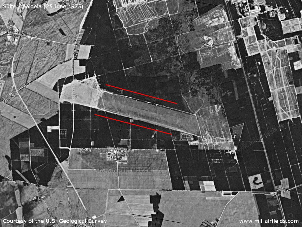
The Soviet reserve airfield Sülte on a US satellite image from 25 June 1975 - The more than 3.5 km long lane in the forest is marked with red lines. In the northeast there are the facilities of the East German People's Army (NVA) location Schwerin Stern-Buchholz
Source: U.S. Geological Survey
Runways
- 11/29: 2400 m Grass
Radio beacons
The main landing direction 29 (approx. 290°) was prepared for the use of two non-directional medium-wave radio beacons.
- LOM 29: 868 "JC"
- LMM 29: 427 "J"
Radio communication
The call sign was BATALIST.
Today
Use
Closed
Airfields in the vicinity
- 229°/8km Alt Zachun: Agricultural Airfield
- 268°/8km Warsow: Agricultural Airfield
- 095°/17km Tramm: Helipad 3344 (HSLP / HLP 3344)
- 306°/19km Lützow: Agricultural Airfield
 Follow mil-airfields on Facebook