For historical information only, do not use for navigation or aviation purposes!
| Coordinates | N525524 E0044650 (WGS84) Google Maps |
| Elevation | 3 ft |
| Location indicator | EHKD |
The history of the Cold War airfields: De Kooy
During World War II
Situation
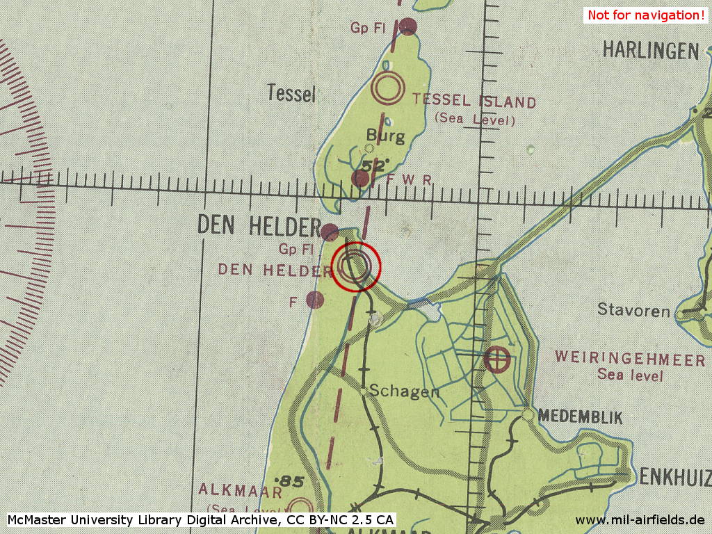
Den Helder De Kooy airfield in World War II on a US map from 1943
Source: McMaster University Library Digital Archive, License: Creative Commons Attribution-NonCommercial 2.5 CC BY-NC 2.5 CA
During the Cold War
Use
Royal Netherlands Navy airfield.
In the 1950s
Situation
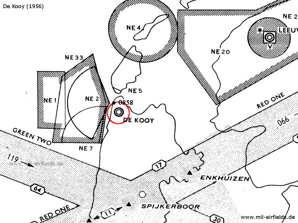
De Kooy airfield on a map from 1956
Radio communication
- Tower 117.9, 121.5, 136.62, 117.0
In the 1970s
Situation
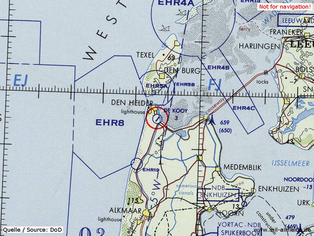
Den Helder De Kooy airfield on a map of the US Department of Defense from 1972
Source: ONC E-2 (1972), Perry-Castañeda Library Map Collection, University of Texas at Austin
Runways
Data for the year 1978:
- 17/35: 900 m Grass
- 09/27: 400 m Grass
- 04/22: 914 m Concrete
In the 1980s and early 1990s
Runways
Data for the year 1990:
- 04/22: 1240 m x 30 m Concrete
Links
- https://www.denhelderairport.nl/ - Den Helder Airport
 Follow mil-airfields on Facebook