For historical information only, do not use for navigation or aviation purposes!
| Coordinates | N513104 E0055124 (WGS84) Google Maps |
| Elevation | 98 ft |
| Region | Noord-Brabant & Limburg |
| Location indicator | EHDP |
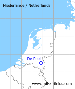
The history of the Cold War airfields: De Peel
During the Cold War
Use
Royal Netherlands Air Force (Koninklijke Luchtmacht, KLu) base
In the 1970s
Situation
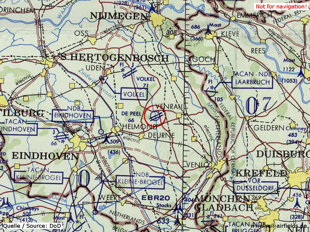
De Peel Air Base on a map of the US Department of Defense from 1972
Source: ONC E-2 (1972), Perry-Castañeda Library Map Collection, University of Texas at Austin
Overview
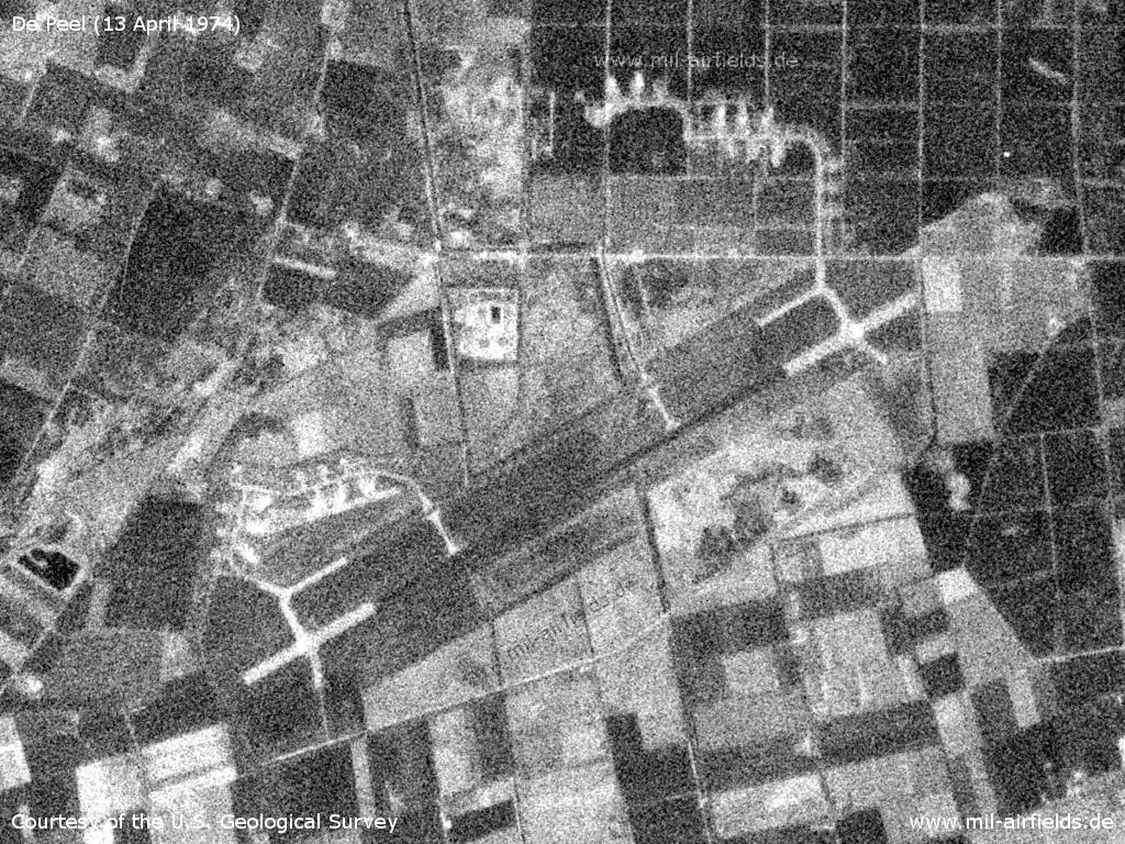
De Peel Air Base on a US satellite image from 13 April 1974
Source: U.S. Geological Survey
In the 1980s and early 1990s
Runways
Data for the year 1990:
- 06R/24L: 2988 m x 45 m Asphalt
Radio beacons
Data for the year 1990:
- TACAN: CH53 "DPL", at field
Today
Use
The airfield is closed, but the area still houses a military installation.
Sources
- https://legacy.lib.utexas.edu/maps/ - Perry-Castañeda Library Map Collection
Airfields in the vicinity
Categories
Air Bases NetherlandsRecommended
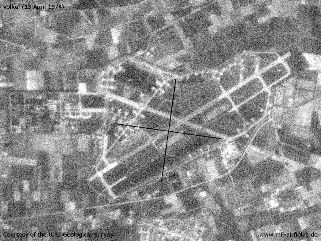
Image credits are shown on the respective target page, click on the preview to open it.
 Follow mil-airfields on Facebook