For historical information only, do not use for navigation or aviation purposes!
| Coordinates | N513927 E0054228 (WGS84) Google Maps |
| Elevation | 72 ft |
| Region | Noord-Brabant |
| Location indicator | EHVK |
The history of the Cold War airfields: Volkel
During the Cold War
Use
Royal Netherlands Air Force (Koninklijke Luchtmacht, KLu) base
In the 1950s
Situation
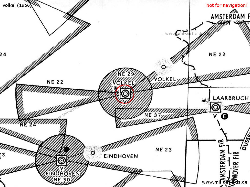
Volkel Air Base with surrounding airways and restricted areas in 1956
Lights
Red identification beacon with ident "VK"
Radio beacons
- NDB: 371 "PEO", 238°/7.2 NM to field
Radar
GCA
Radio communication
- Homer 117.9, 317.5, 344.0, 385.4, 257.8, 353.8, 269.8, 258.0, 243.0, 362.3, 116.1, 232.6, 324.2
- Tower 117.9, 111.42, 121.5, 116.1, 269.8, 344.0, 285.0, 362.0, 385.4, 257.8, 258.0, 317.5, 353.8, 148.86
In the 1970s
Situation
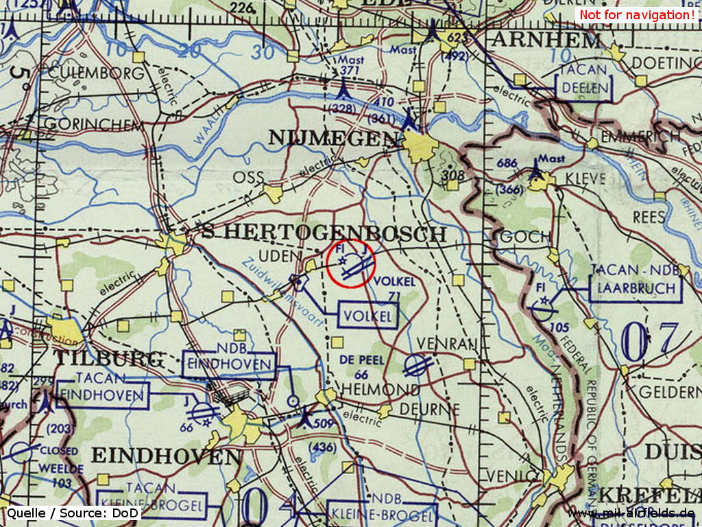
Volkel Air Base on a map of the US Department of Defense from 1972
Source: ONC E-2 (1972), Perry-Castañeda Library Map Collection, University of Texas at Austin
Overview
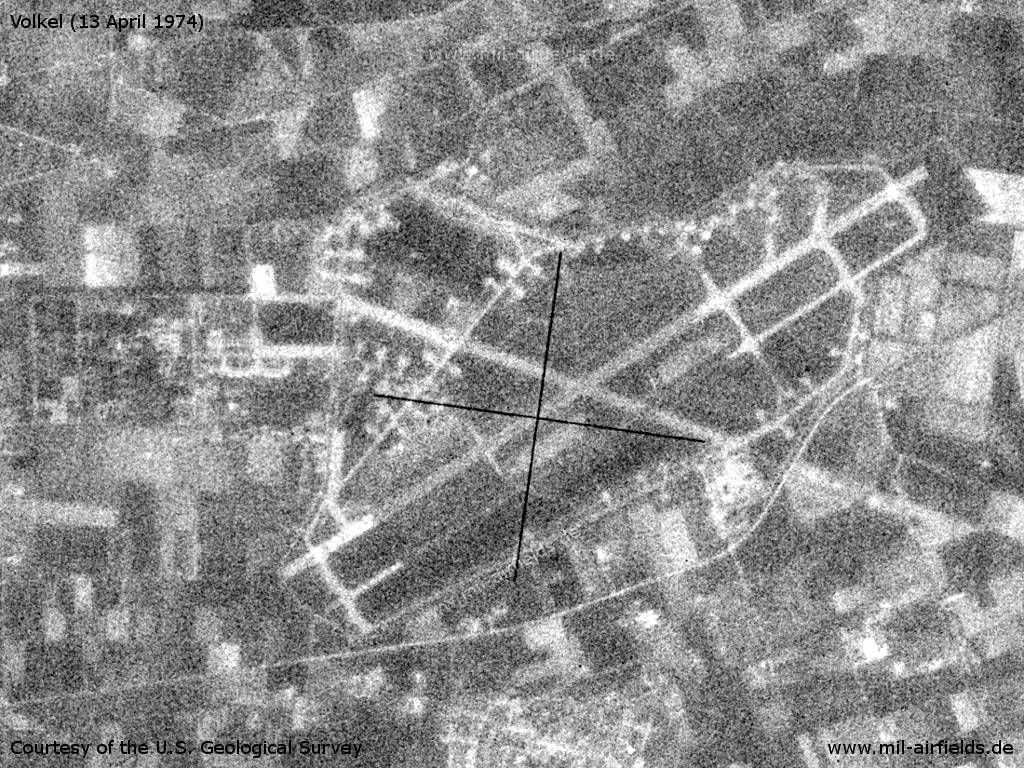
Volkel Air Base on a US satellite image from 13 April 1974
Source: U.S. Geological Survey
In the 1980s and early 1990s
Runways
Data for the year 1990:
- 06R/24L: 2843 m x 23 m Asphalt
- 06L/24R: 3023 m x 45 m Asphalt
Radio beacons
Data for the year 1990:
- TACAN: CH20 "VKL", at field
Airfields in the vicinity
Categories
Air Bases NetherlandsRecommended
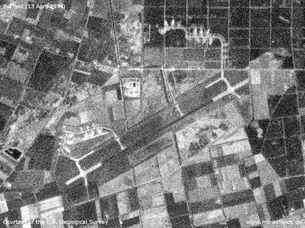
Image credits are shown on the respective target page, click on the preview to open it.
 Follow mil-airfields on Facebook