Erfurt: Bindersleben Airport
Fliegerhorst Erfurt-Bindersleben, Аэродром Эрфурт, Flughafen Erfurt-Weimar
For historical information only, do not use for navigation or aviation purposes!
| Coordinates | N505848 E0105725 (WGS84) Google Maps |
| Elevation | 1036 ft |
| Former East Germany (GDR) | District of Erfurt |
| Federal state | Thüringen (Thuringia) |
| Location indicator | EDXE, ETEF (-1995), EDDE (1995-) |
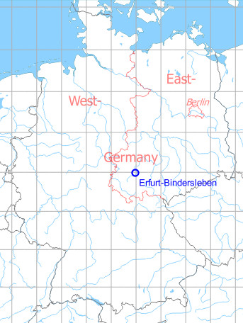
Germany during the Cold War Map
The history of the Cold War airfields: Erfurt-Bindersleben
Contents
Page 3: Erfurt-Weimar Airport, Germany, from 1990 ← you are here
In the 1990s
Overview
1992
Image source, unless otherwise noted: GDI-Th, Freistaat Thüringen, TLVermGeo, www.geoportal-th.de, Datenlizenz Deutschland – Namensnennung – Version 2.0, www.govdata.de/dl-de/by-2-0
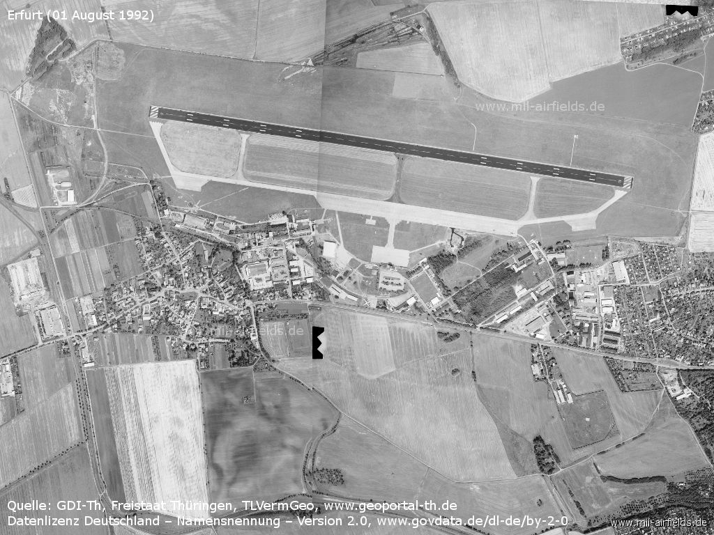
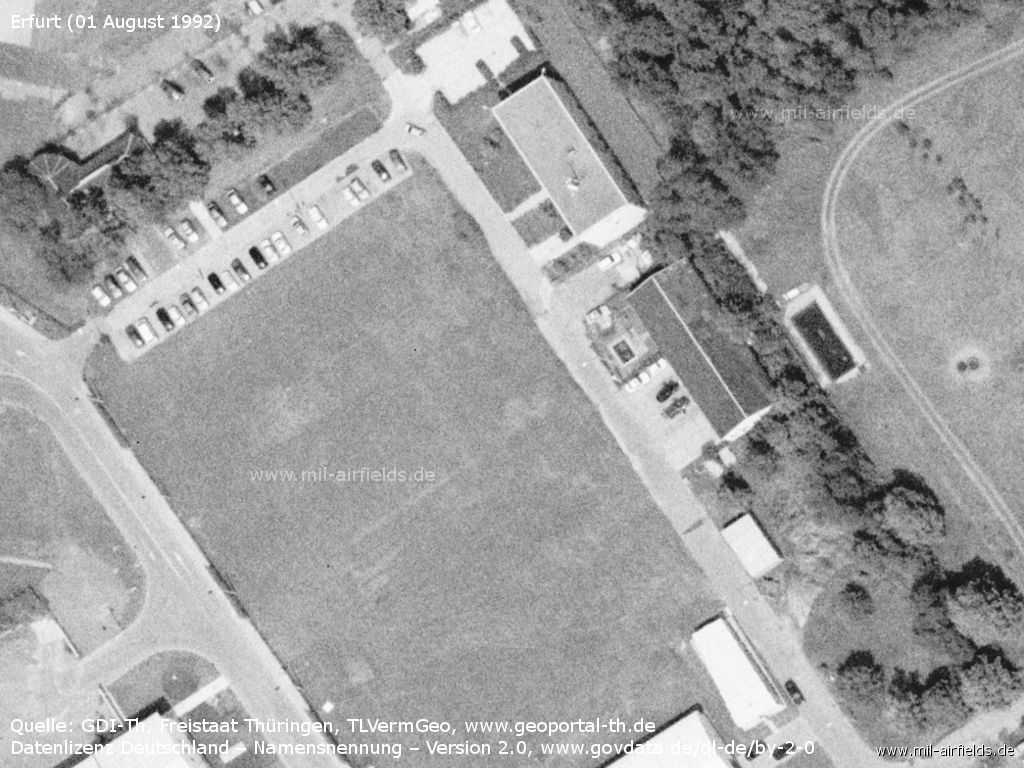
Erfurt Bindersleben Airport on 01 August 1992
In the west a new railway track was laid
The new track goes away to the north from the siding of the airport.
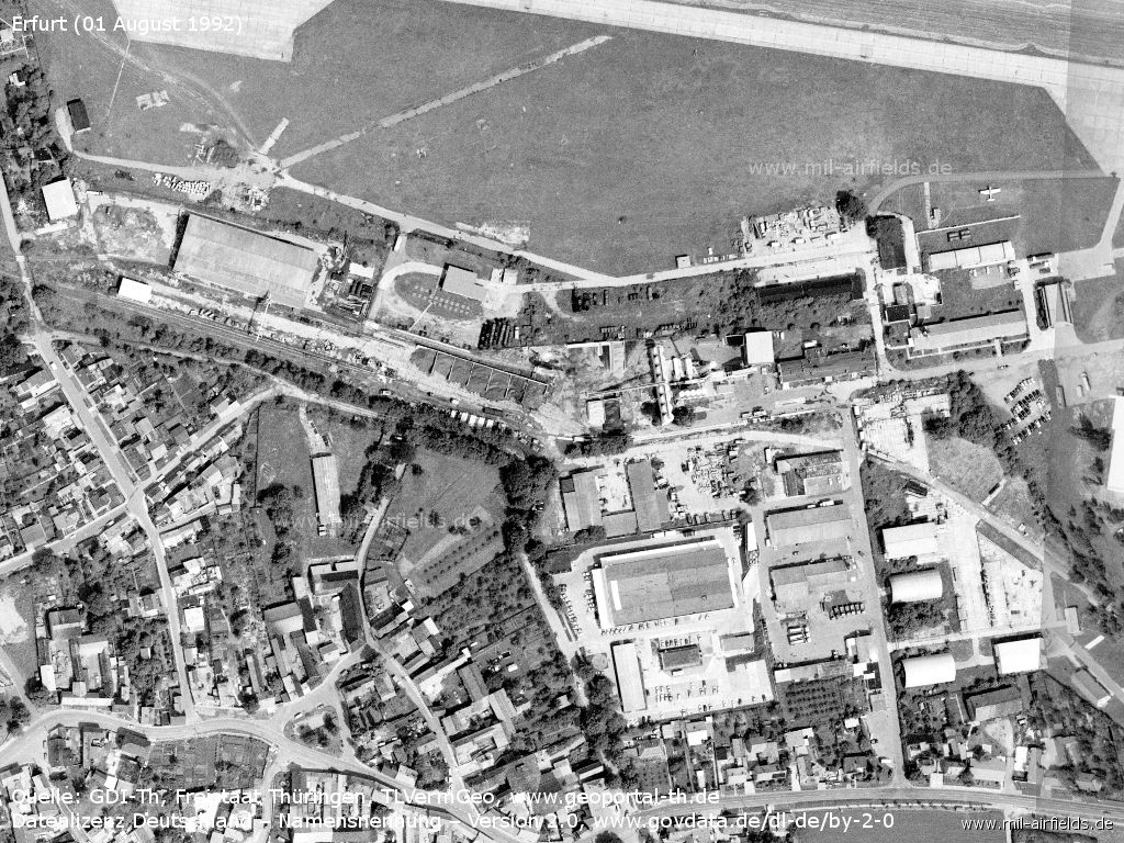
Southwestern part
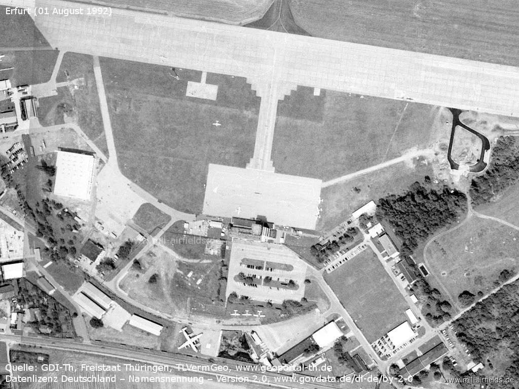
Apron
Details
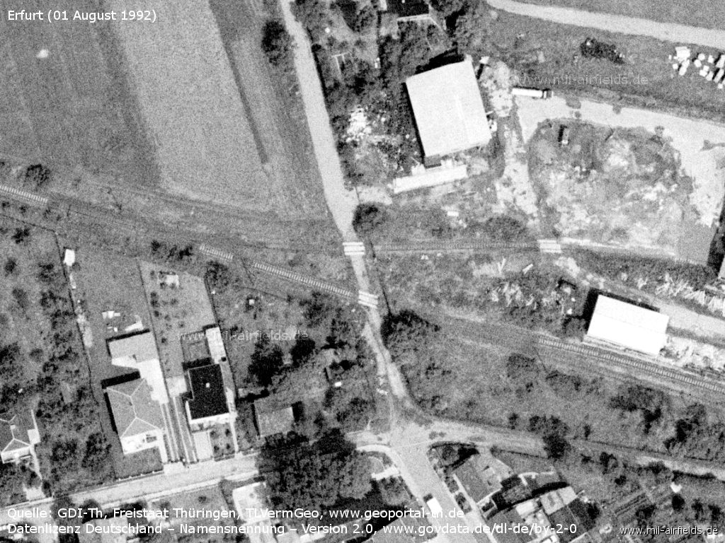
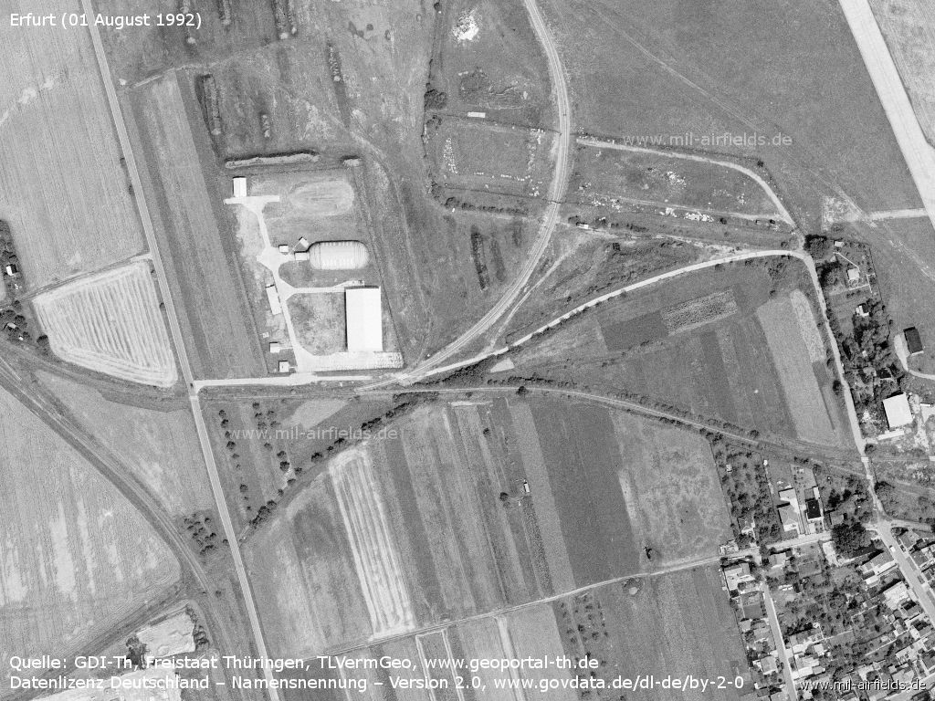
Level crossing at Bindersleben
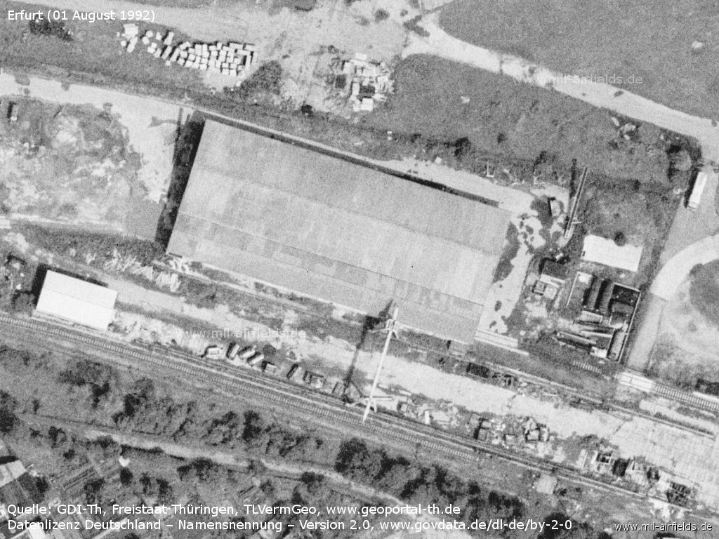
Loading ramp with crane
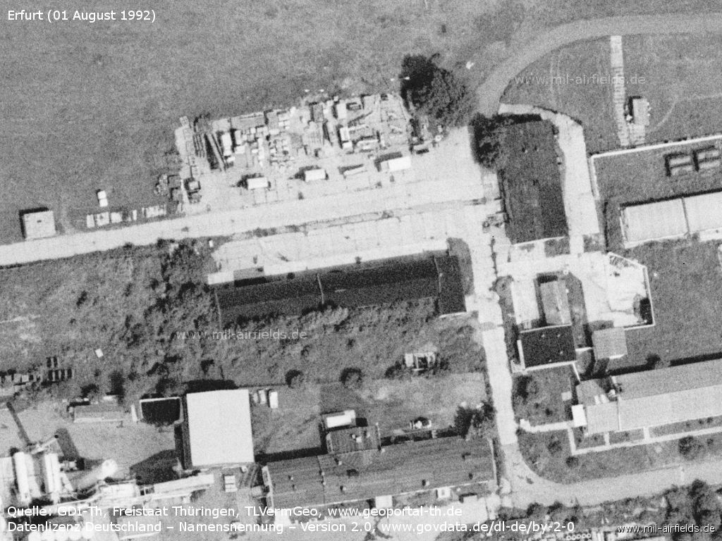
Buildings
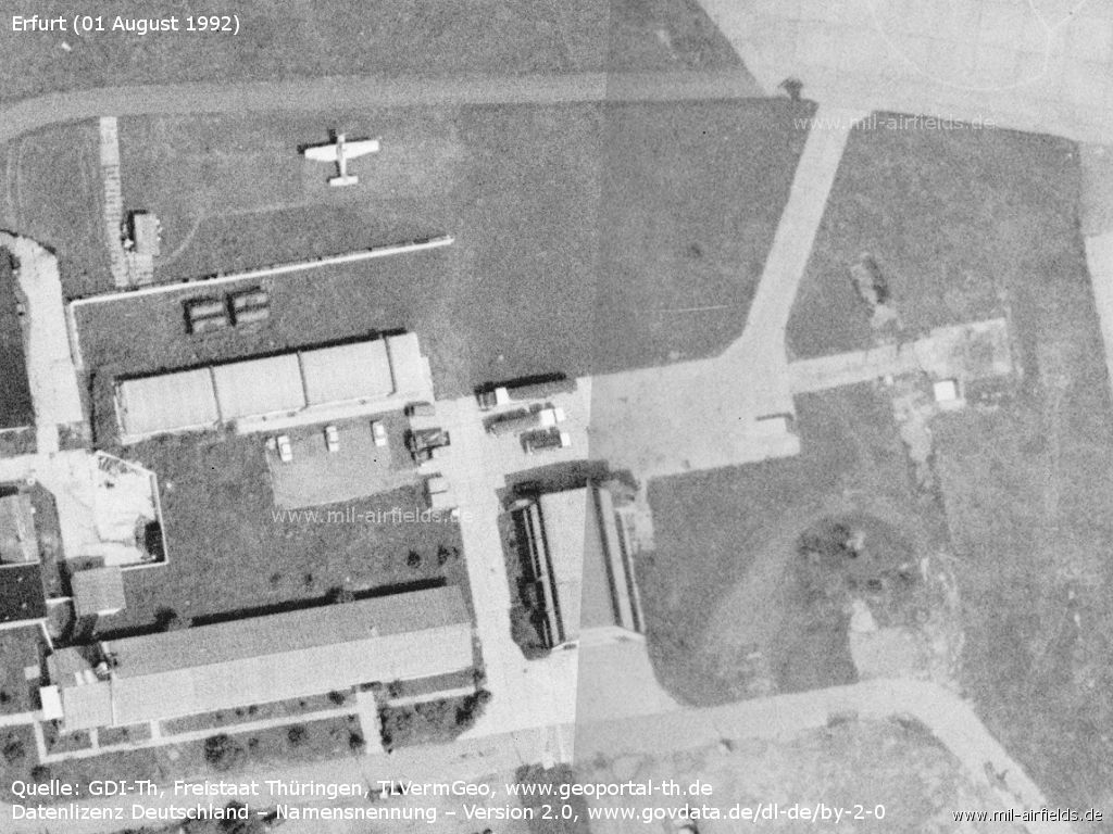
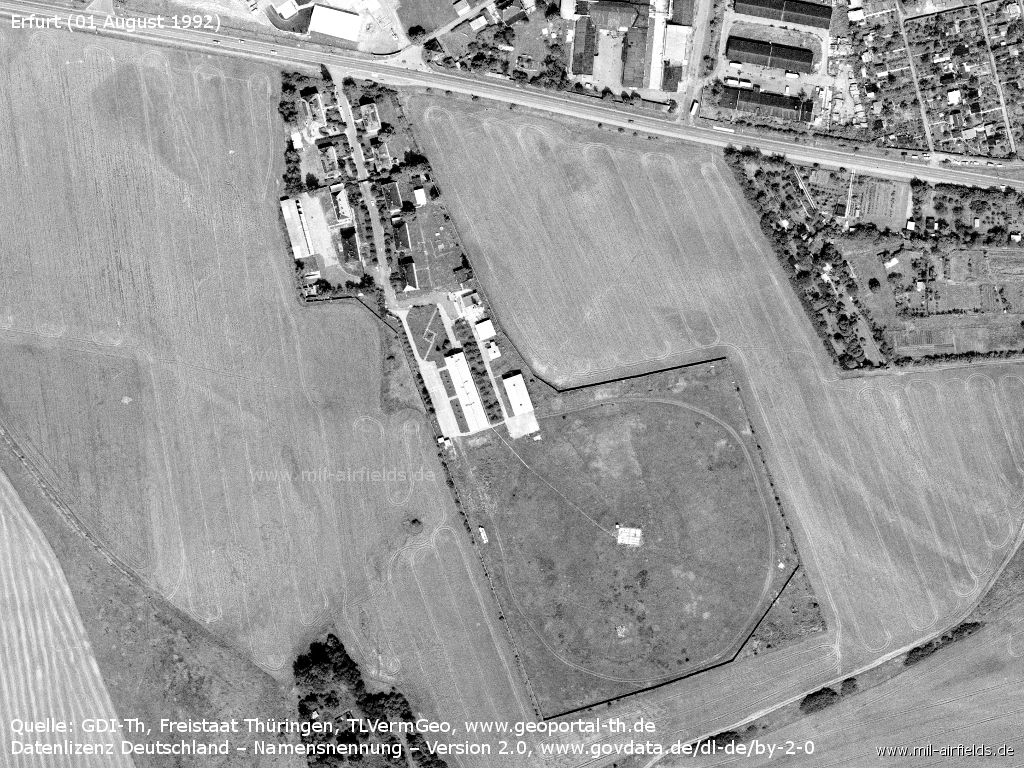
Facilities
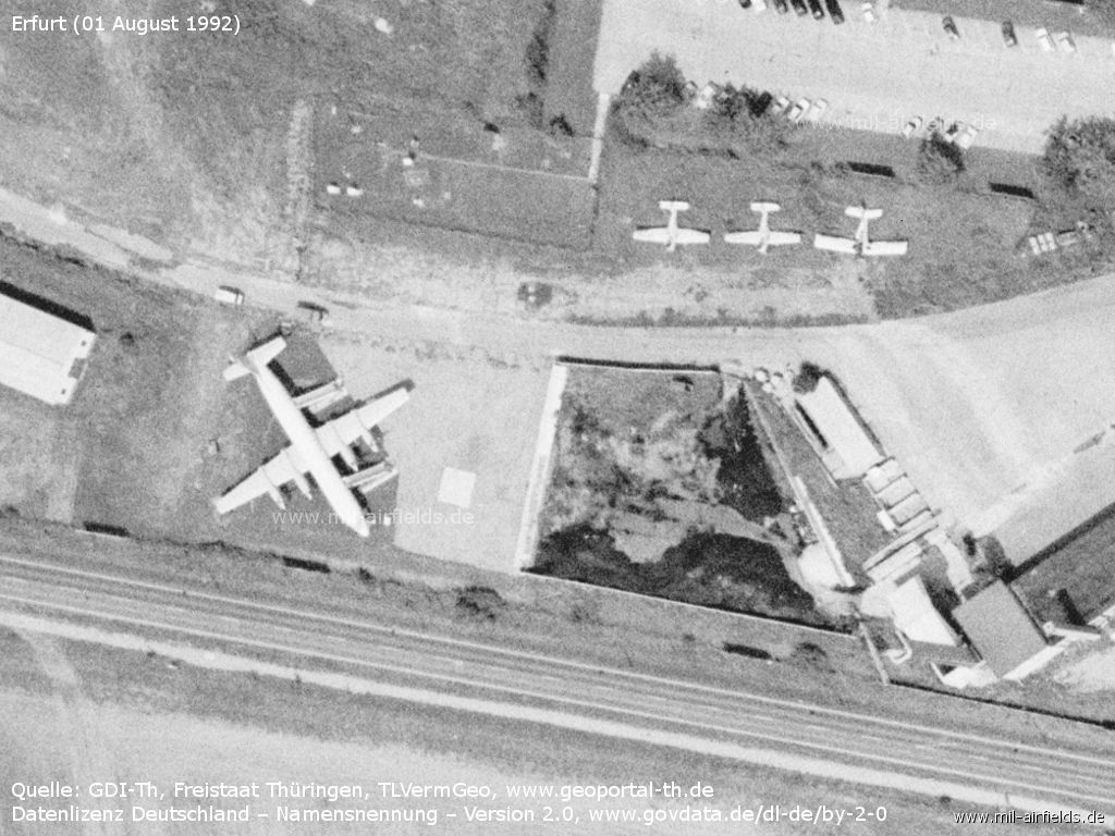
Aircraft on display, e.g. a Il-18
Building at the airport
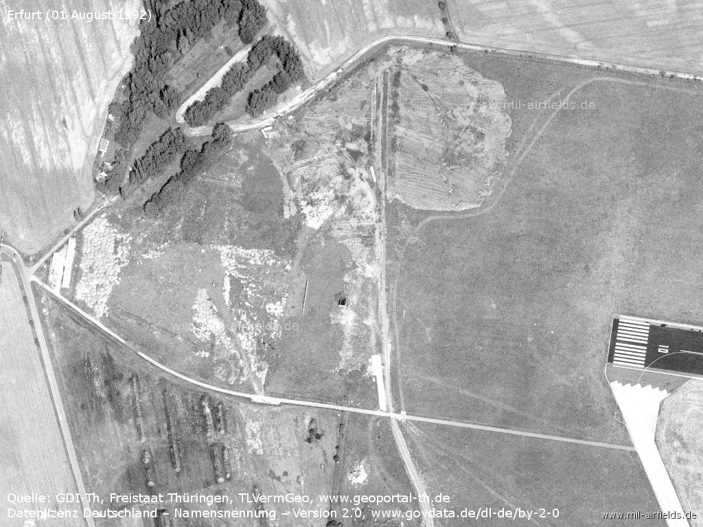
The destroyed Tu-134 stood about in the middle of the picture. - Apparently three plates had been laid in the ground as a foundation for them.
This area was previously used for masts, probably antennas. - Now the area is cleared. Possibly there was a connection with the Soviet direction finder.
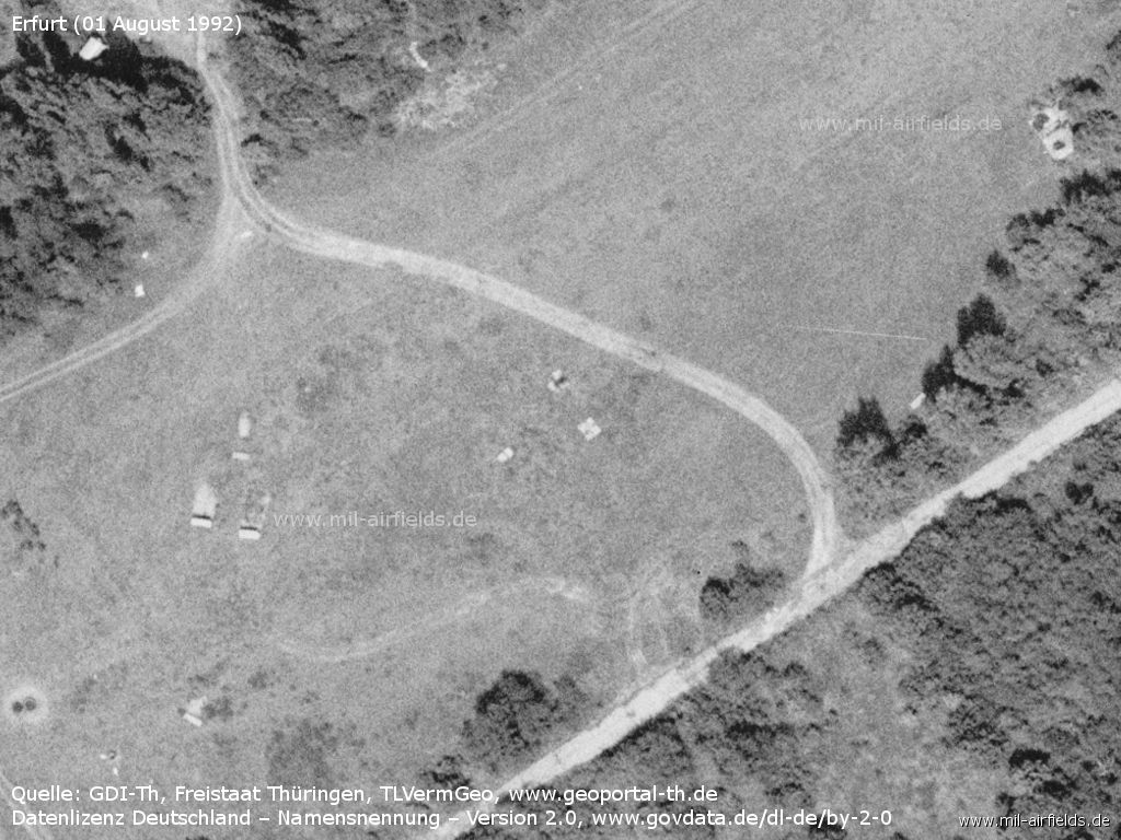
Soviet naval direction finder
In 1992 the circular antenna (CDDA) of the direction finder was already dismantled. Some cars park on the barracks area. Apparently the Russian troops have left.
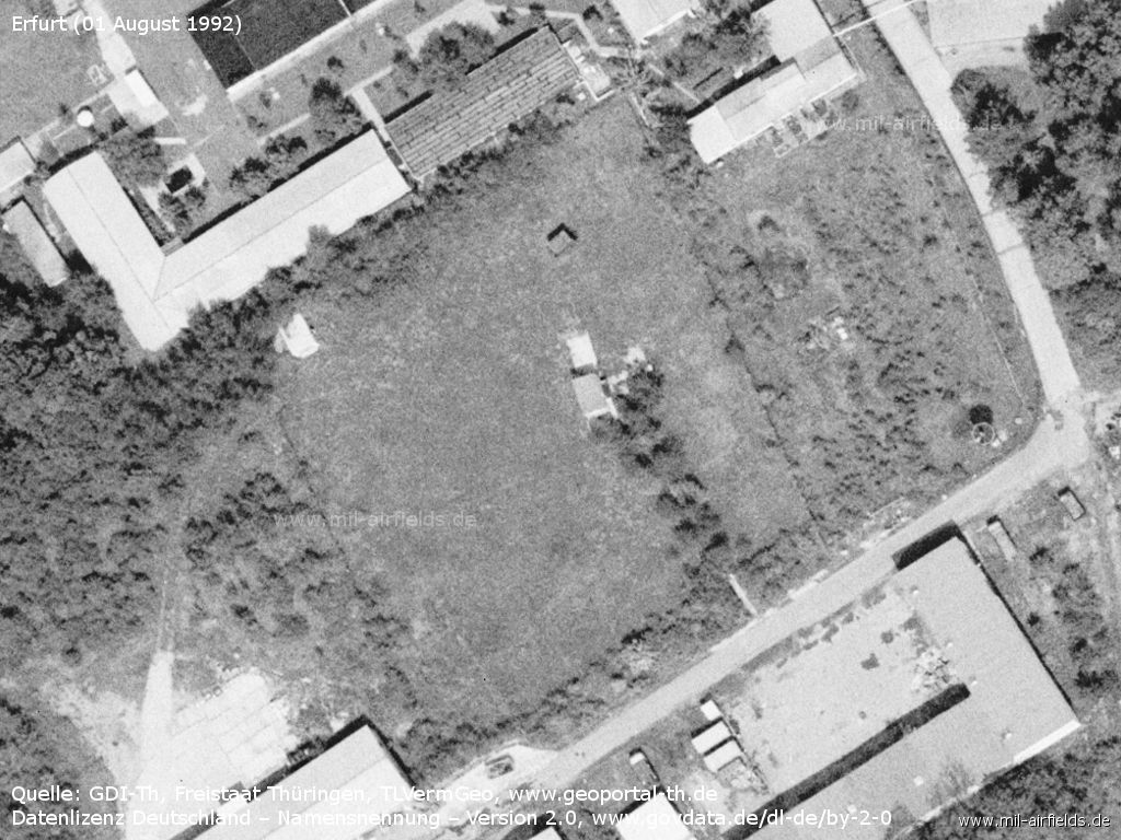
Installation
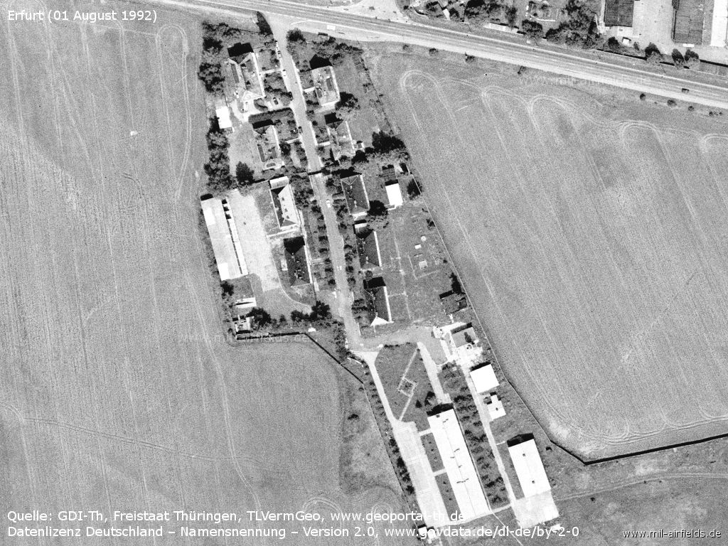
Barracks
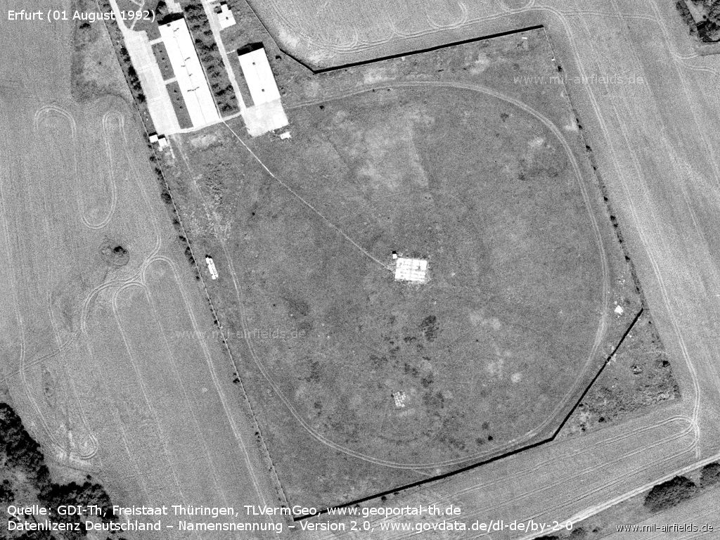
Area of the CDDA - The antenna is removed. In the lower half of the large circle another circular structure can be guessed, which has bright plates as its center. This could have been the previous smaller antenna.
Today
Use
Airport.
Overview
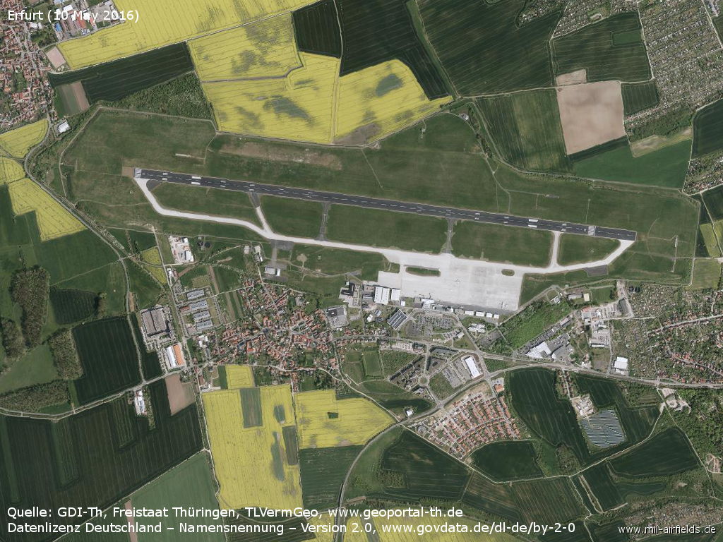
Orthophoto from 10 May 2016
Links
- https://www.stasi-mediathek.de/medien/feuerloeschu... - Bilder von der Feuerlöschübung an der Tu-134 DDR-SCG. The accompanying text states that this exercise took place on the Stasi premises in Wartin. However, this is unlikely as the plane would not have flown far south to Erfurt first. In addition, on picture 4 a fire engine with a license plate VP09-... is shown. These were the license plates for police and fire engines of the Erfurt district (09 was the district number for Erfurt).
- https://www.flughafen-erfurt-weimar.de/ - Flughafen Erfurt-Weimar
- http://www.luftfahrt-erfurt.de/ - Luftfahrt in Erfurt - Aviation in Erfurt Airfield history
- http://www.vergessene-bahnen.de/Ex185k_2.htm - Vergessene Bahnen - Lost Railways Description of the former railway line Erfurt-West - Nottleben, including connection to the airfield.
Sources
- https://lib.byu.edu/collections/german-maps/ - German Maps (Topographische Karte 1:25,000)German Maps (Topographische Karte 1:25,000)
- https://www.geoportal-th.de/ - Geoportal Thüringen
Bibliography
- Ries, Karl; Dierich, Wolfgang: "Fliegerhorste und Einsatzhäfen der Luftwaffe" Motorbuch Verlag Stuttgart, 1993 - Alliierte Planskizze
- Michels, Jürgen; Werner, Jochen: "Luftfahrt Ost 1945-1990" Bernard & Graefe Verlag, Bonn, 1994 - Short description, picture
- Grenzdörfer, Joachim; Seifert, Karl-Dieter: "Geschichte der ostdeutschen Verkehrsflughäfen" Bernard & Graefe Verlag, Bonn, 1997 - 8 pages description, maps and pictures
- Freundt, Lutz (Hrsg.), Büttner, Stefan: "Rote Plätze - Russische Militärflugplätze in Deutschland 1945 - 1994" AeroLit Verlag, 2007 - Description, picture of soviet transport aircrafts at Erfurt airfield in 1965
Related topics
Airfields in the vicinity
- 050°/6km Erfurt: Erfurt North Airport (Roter Berg Airfield)
- 241°/14km Seebergen: Helipad 3148 (HSLP / HLP 3148)
- 015°/16km Haßleben: Airfield (Hassleben, Хаслебен)
- 209°/17km Röhrensee: Airfield (Ohrdruf)
- 091°/20km Nohra: Airfield (Weimar-Nohra)
Categories
Military Airfields GermanyAgricultural Airfields in former East GermanyMilitary Airfields in former East GermanyAirfields of the Soviet Forces in GermanyRecommended
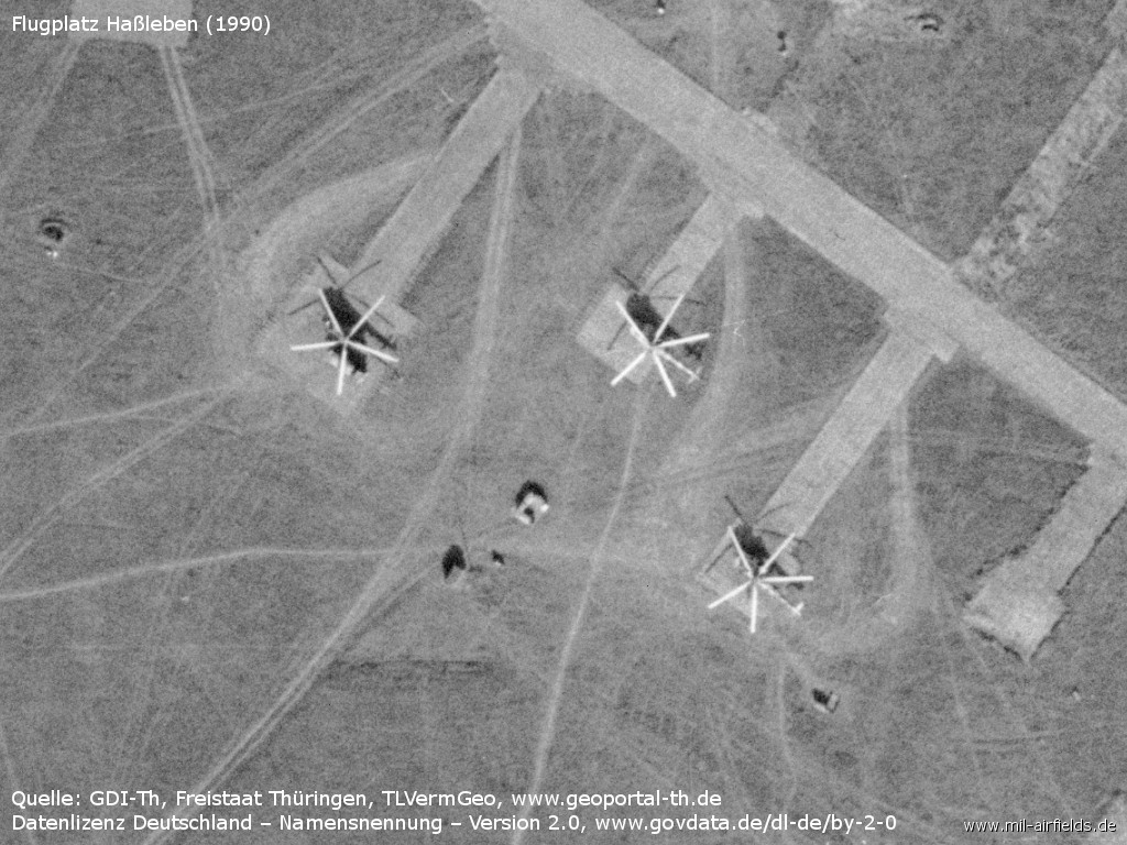
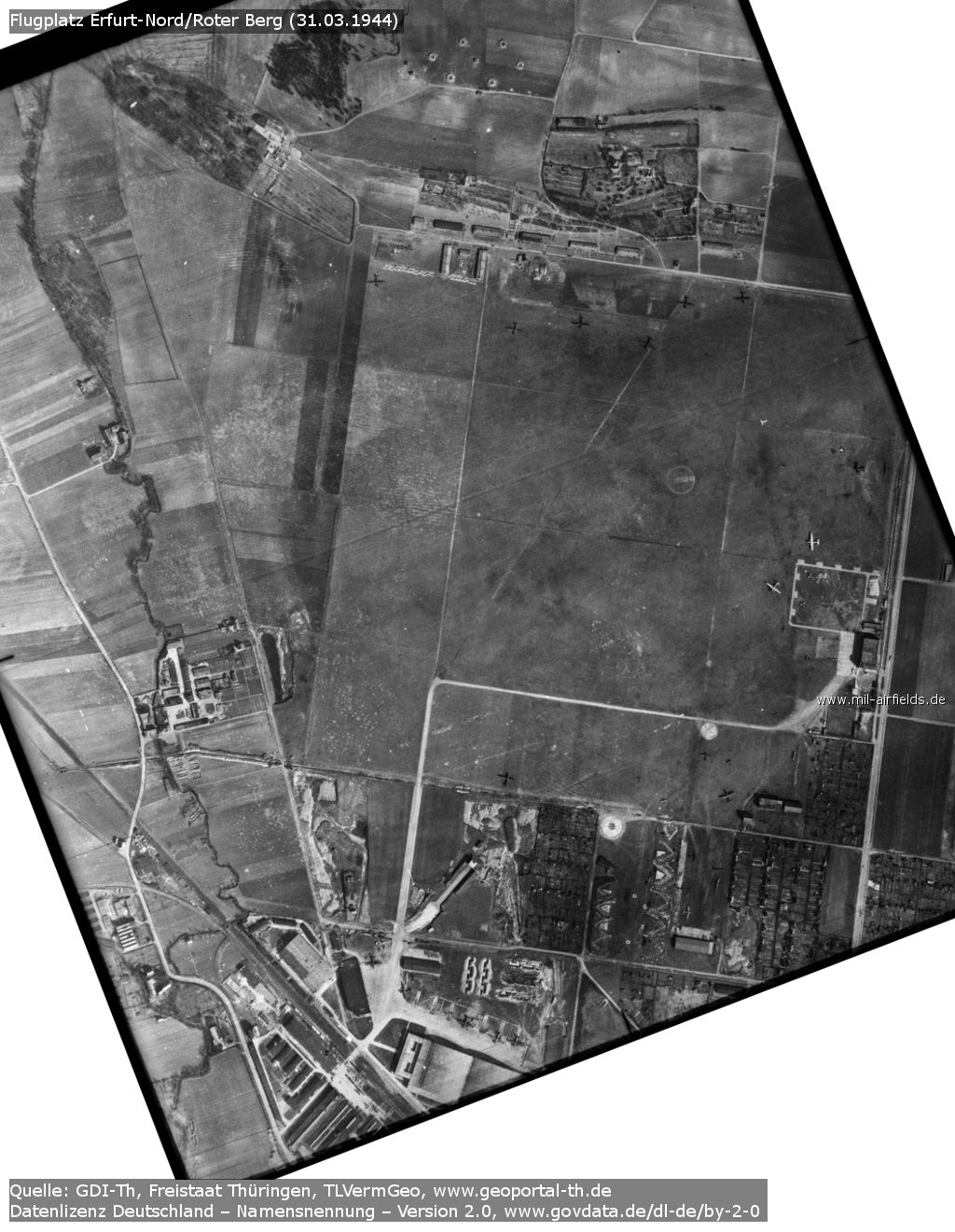
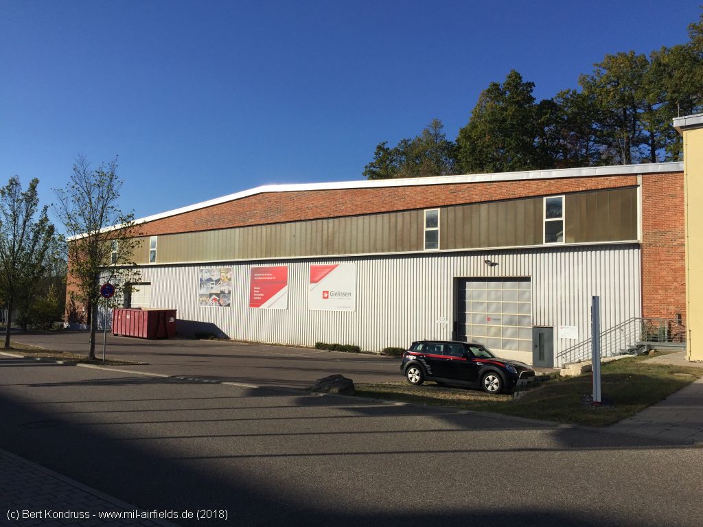

Image credits are shown on the respective target page, click on the preview to open it.
Contents
Page 3: Erfurt-Weimar Airport, Germany, from 1990 ← you are here
 Follow mil-airfields on Facebook