Niederstetten: Airfield
For historical information only, do not use for navigation or aviation purposes!
| Coordinates | N492331 E0095733 (WGS84) Google Maps |
| Federal state | Baden-Württemberg |
| Region | Hohenlohe |
| Location indicator | EDPT (-1995), ETHN (1995-) |
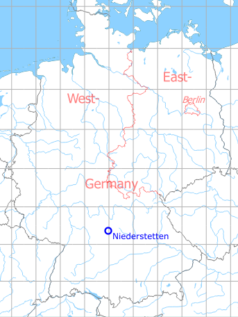
Germany during the Cold War Map
The history of the Cold War airfields: Niederstetten
During the Cold War
In the 1970s
Situation
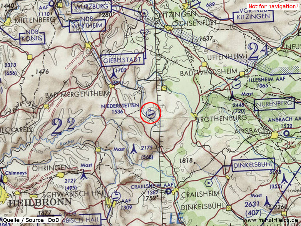
Niederstetten Airfield on a map of the US Department of Defense from 1972
Source: ONC E-2 (1972), Perry-Castañeda Library Map Collection, University of Texas at Austin
Overview
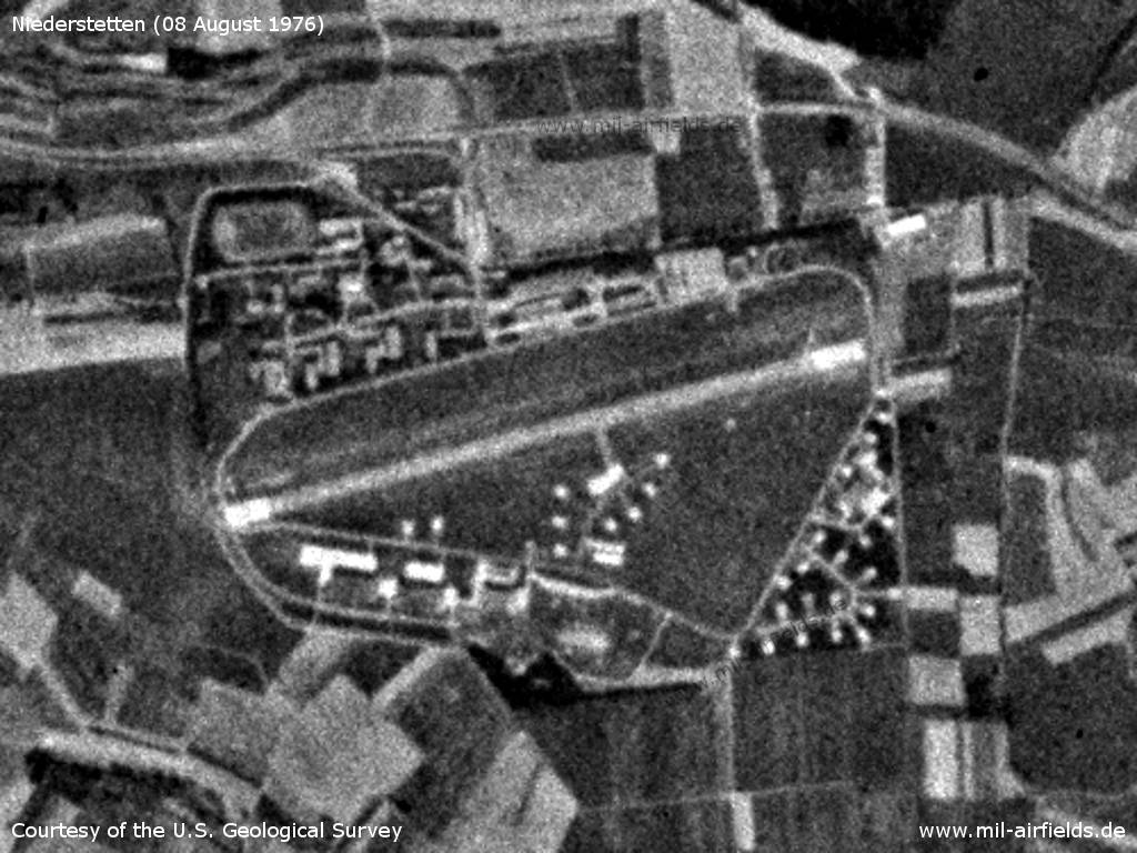
Niederstetten Airfield on a US satellite image from Sunday 08 August 1976 - At this time, the airfield still had numerous individual parking positions.
Source: U.S. Geological Survey
In the 1980s
Use
German Army airfield.
Runways
- 08/26: 1012 m x 30 m Asphalt
Radio beacons
- NDB: 311 "NSN", at field
Airfields in the vicinity
Categories
Military Airfields GermanyMilitary Airfields in former West GermanyGerman Army AirfieldsAirfields in Baden-WürttembergRecommended
Image credits are shown on the respective target page, click on the preview to open it.
 Follow mil-airfields on Facebook