Abtshagen: Agricultural Airfield
For historical information only, do not use for navigation or aviation purposes!
| Coordinates | N541110 E0130158 (WGS84) Google Maps |
| Former East Germany (GDR) | District of Rostock |
| Federal state | Mecklenburg-Vorpommern (Mecklenburg-Western Pomerania) |
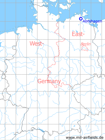
Germany during the Cold War Map
The history of the Cold War airfields: Abtshagen Agricultural Airfield
Location of airfield
The airfield was located on the east side of Abtshagen, immediately north of the road to Wittenhagen.
During the Cold War
Use
Agricultural airfield.
Overview
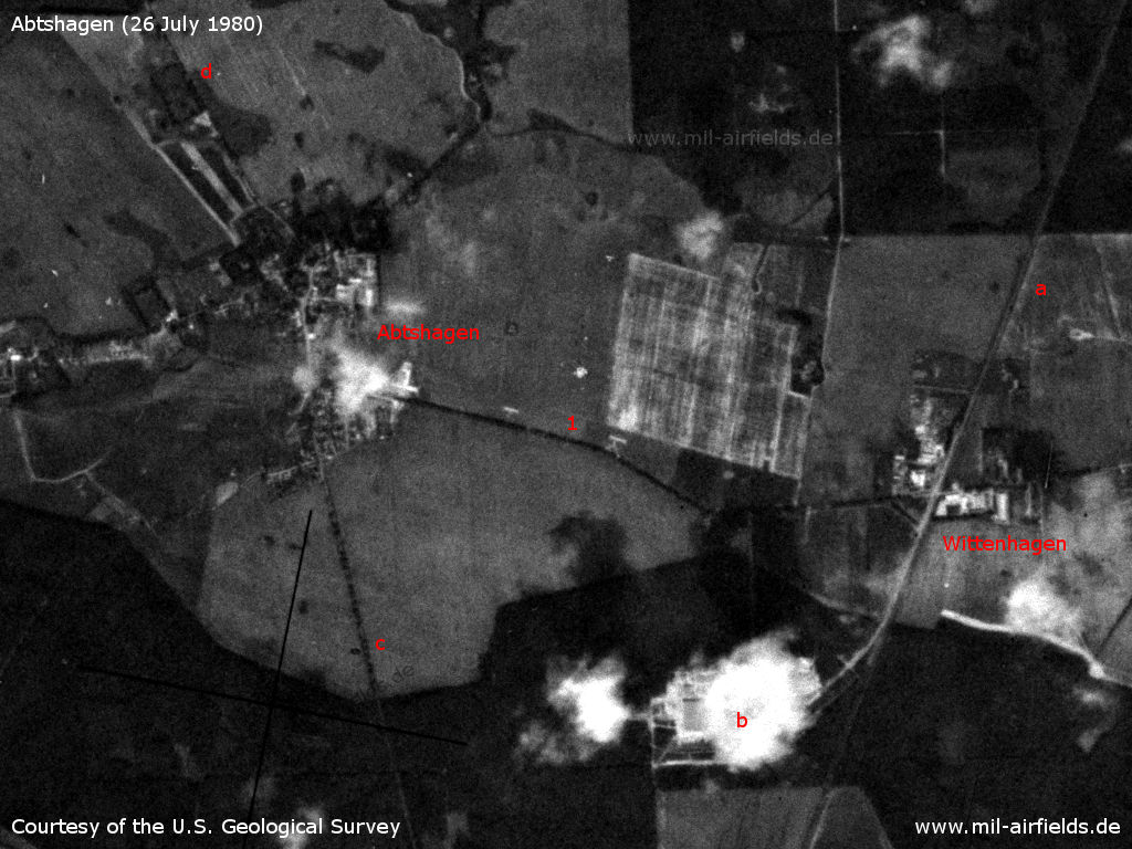
Abtshagen on a US satellite image from 26 July 1980 - 1: Abtshagen agricultural airfield with two paved touchdown zones. a: Railwail line Stralsund - Grimmen; b: Wittenhagen state reserve depot; c: Highway F 194 to Grimmen; b: F 194 to Negast and Stralsund.
Source: U.S. Geological Survey
Runways
- 10/28: 800 m
Today
Use
Closed.
Airfields in the vicinity
- 286°/2km Abtshagen: Anti-aircraft missile unit 4321 (Helipad 3310)
- 162°/11km Grimmen: Appelshof Agricultural Airfield
- 009°/21km Parow: Airfield
Recommended
Image credits are shown on the respective target page, click on the preview to open it.
 Follow mil-airfields on Facebook