For historical information only, do not use for navigation or aviation purposes!
| Coordinates | N535715 E0140303 (WGS84) Google Maps |
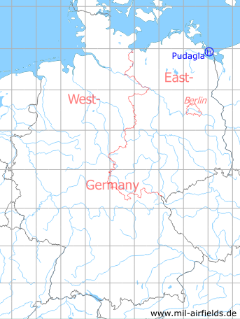
Germany during the Cold War Map
The history of the Cold War airfields: Pudagla
Location of airfield
1.8 km southwest of Pudagla.
Usage during the Cold War
Helipad 3360 for Command post Fighter wing 9 (GS JG-9) / Radar batallion 33 (FuTB-33) of East German Air Force (NVA LSK/LV).
Use today
Closed.
Runways, taxiways, aprons
Dimensions: 200 m x 100 m,
main takeoff and landing direction: 306°,
surface: Concrete,
capacity: 1 helicopte.
main takeoff and landing direction: 306°,
surface: Concrete,
capacity: 1 helicopte.
Telephone
Stabsnetz S1 4323-838
Airspace and procedures
Usable at day during good weather conditions.
Alert time: 60 minutes.
Alert time: 60 minutes.
Obstacles
None.
Airfields in the vicinity
- 142°/11km Garz: Airfield (Heringsdorf Airport)
- 270°/14km Lassan: Agricultural Airfield
- 284°/19km Seckeritz: Agricultural Airfield
- 321°/24km Karlshagen: Helipad 3361 (HSLP / HLP 3361)
- 153°/25km Altwarp: Helipad 3332 (HSLP / HLP 3332)
- 242°/28km Anklam: Airfield
- 322°/29km Peenemünde: Air Base
 Follow mil-airfields on Facebook