For historical information only, do not use for navigation or aviation purposes!
| Coordinates | N540942 E0121452 (WGS84) Google Maps |
| Elevation | 66 ft |
| Former East Germany (GDR) | District of Rostock |
| Federal state | Mecklenburg-Vorpommern (Mecklenburg-Western Pomerania) |

Germany during the Cold War Map
The history of the Cold War airfields: Purkshof
During the Cold War
Use
Civil airfield and reserve airfield of former East German Navy.
In the 1960s
Overview
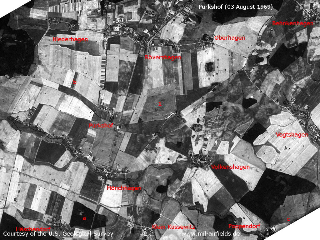
Purkshof Airfield on a US satellite image from 03 August 1969 - 1: airfield. a: radio control of the East German Deutsche Post Radiocon Mönchhagen. b: The Rövershagen command post did not exist at that time; c: The Poppendorf fertilizer plant also did not yet exist. Other places: Behnkenhagen, Häschendorf, Klein Kussewitz, Niederhagen, Oberhagen, Vogtshagen, Volkenshagen.
Source: U.S. Geological Survey

Purkshof airfield
Source: U.S. Geological Survey
In the 1970s
Additional information
Diploma thesis of a Stasi major of the MfS-Kreisdienststelle Rostock at the JHS: "Conception for the security of the political-operational focus area - military objects Purkshof", 32 pages, 30.9.1979, JHS MF GVS 001-78/79
Source: http://members.lycos.co.uk/stasidiplom/ Diploma theses and final theses at the "Juristische Hochschule" (JHS) of the East German State Security in Potsdam (offline).
Source: http://members.lycos.co.uk/stasidiplom/ Diploma theses and final theses at the "Juristische Hochschule" (JHS) of the East German State Security in Potsdam (offline).
In the 1980s and early 1990s
Runways
- 04/22: 1100 m Grass
- 09/27: 750 m Grass
- 14/32: 800 m Grass
Radio beacons
- LMM: 543,0 "LA"
Radio communication
Call sign: LAMETTA
Real property
Installation number 01/088 with 71,5 ha
Today
Use
General aviation (EDCX).
Links
- http://www.fcrostock.de/ - Fliegerclub Rostock e.V. Information about Purkshof airfield and ist history (German)
Airfields in the vicinity
- 285°/2km Rövershagen: Helipad 3305 (HSLP / HLP 3305)
- 190°/4km Klein Kussewitz: Helipad 3029 (HSLP / HLP 3029)
- 221°/6km Bentwisch: Agricultural Airfield (Goorstorf)
- 250°/12km Rostock: Marienehe Airfield
- 141°/13km Sanitz: Helipad 3306 (HSLP 3306)
- 180°/15km Bandelstorf: Agricultural Airfield
- 192°/15km Kavelstorf: Highway Strip (Autobahnabschnitt ABA)
- 048°/17km Damgarten: Air Base (Puetnitz, Putnitz)
- 257°/17km Admannshagen: Agricultural Airfield
- 273°/17km Nienhagen: Anti-aircraft Missile Unit 4332 (National People's Army Helipad 3320)
Categories
Military Airfields GermanyMilitary Airfields in former East GermanyAir bases of former National People's ArmyRecommended
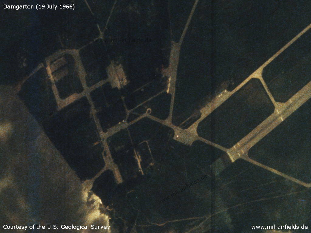

Image credits are shown on the respective target page, click on the preview to open it.
 Follow mil-airfields on Facebook